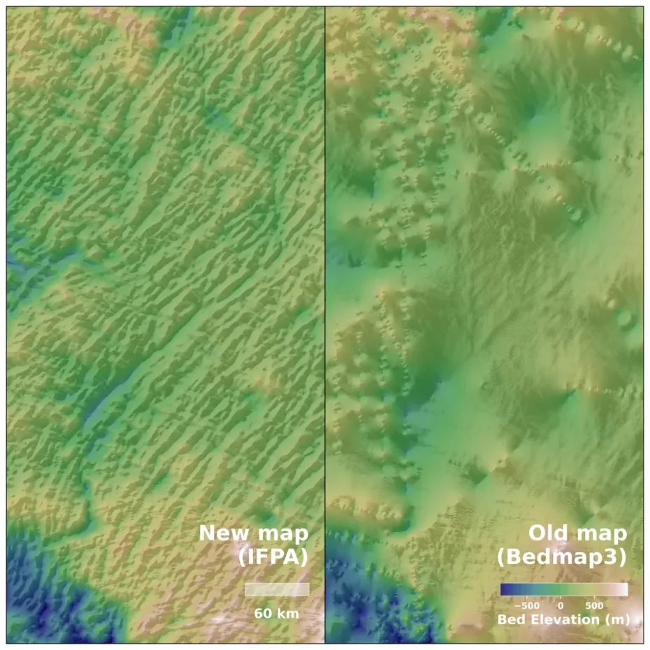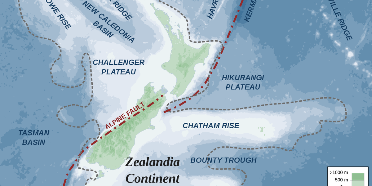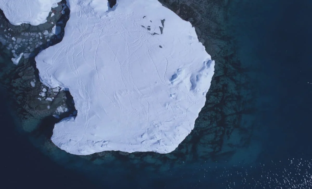
Antarctica’s Hidden Underworld Emerges in High-Res Subglacial Map
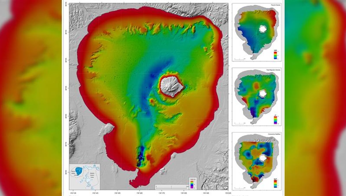
A high-resolution map created by combining satellite data and physics-based modeling reveals Antarctica’s buried bed beneath the ice, uncovering tens of thousands of subglacial features and a massive under-ice channel in the Maud Subglacial Basin, improving understanding of how the ice sheet may move over time.