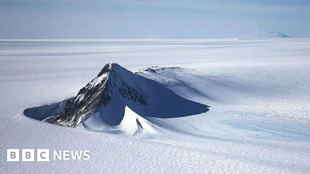
Antarctica's hidden bedrock revealed in ultra-detailed new map
A new, highly detailed map of Antarctica’s bedrock beneath the ice, created by combining satellite surface data with ice-flow physics, reveals thousands of previously unseen hills and ridges and a prominent 50m-deep, 6km-wide channel in the Maud Subglacial Basin; while uncertainties remain, the map offers a clearer view of the bedrock that could improve models of glacier movement and future sea-level rise, complementing radar surveys and aiding climate projections.