geographyscience1.56 min read "Zealandia: Earth's First Fully Mapped Continent"
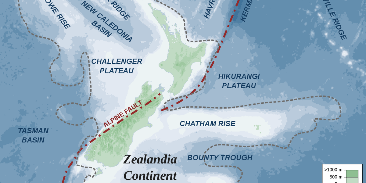
Zealandia, the largely submerged continent near New Zealand, has been completely mapped by a team of geologists using rock samples and geophysical mapping methods. The continent, twice the size of India, was likely flooded around 40 million years ago. The mapping revealed large sandstone formations and basaltic rock pebbles, providing insights into Zealandia's geological history. This discovery sheds light on a previously unknown part of Earth's geography and geological evolution.
2 years ago•Source: indy100