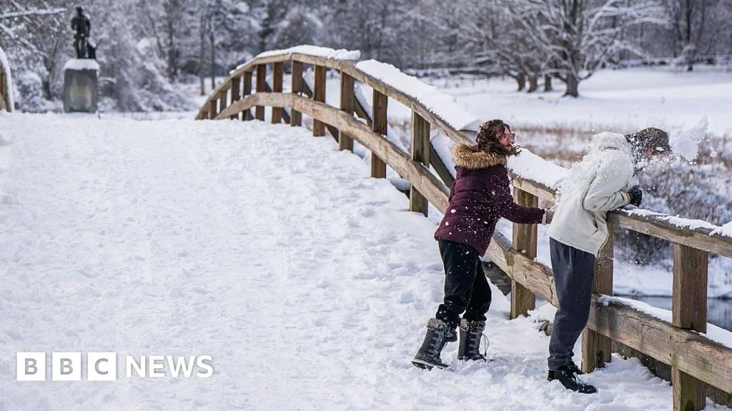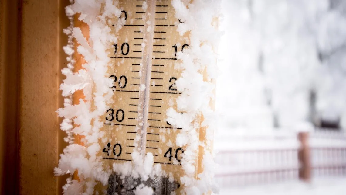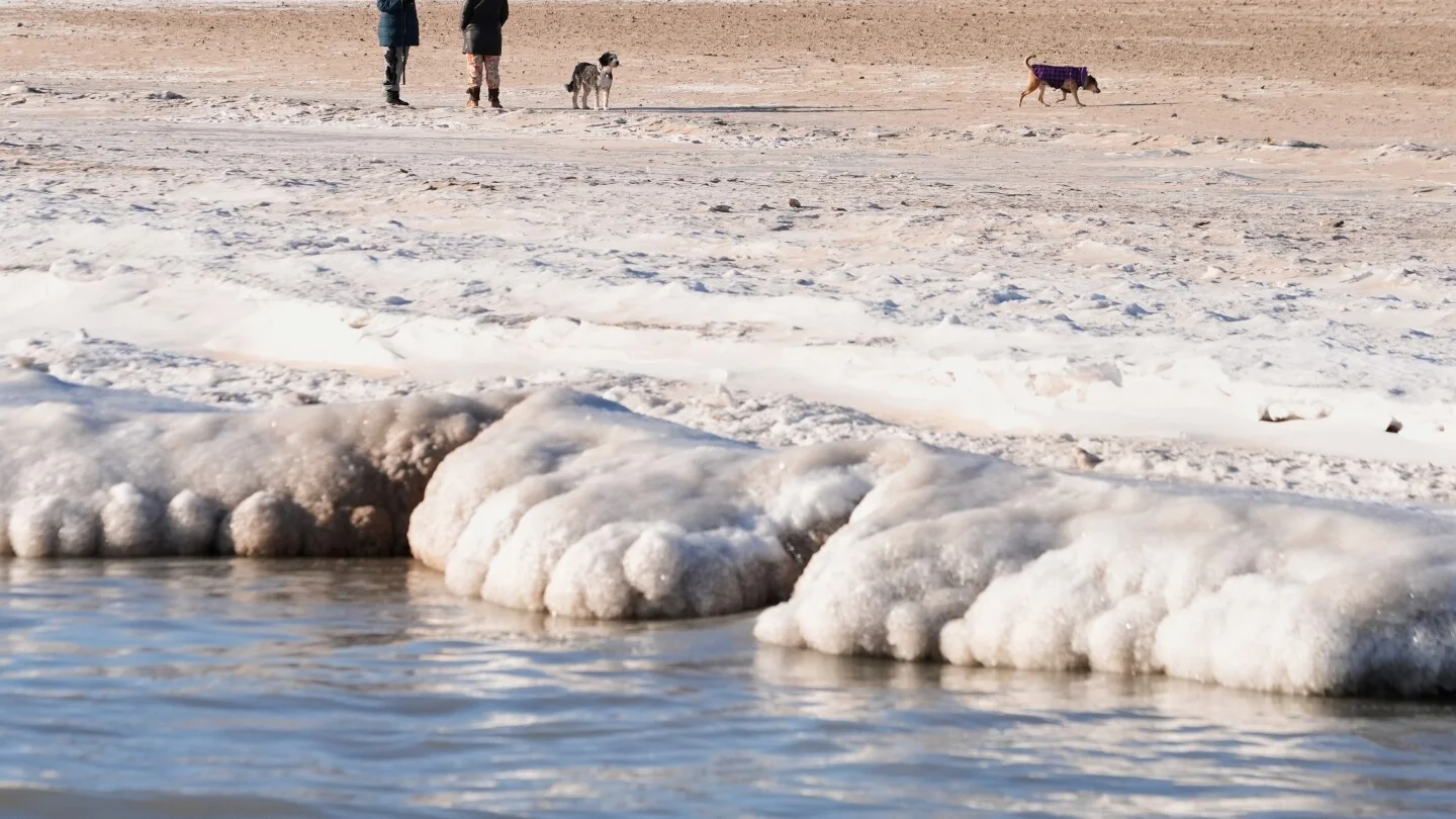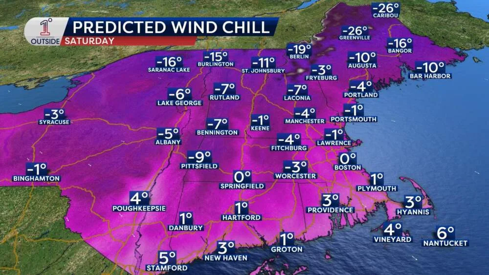
Storm reality vs climate hoax claim: what the science says
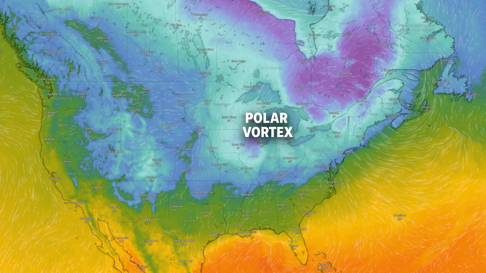
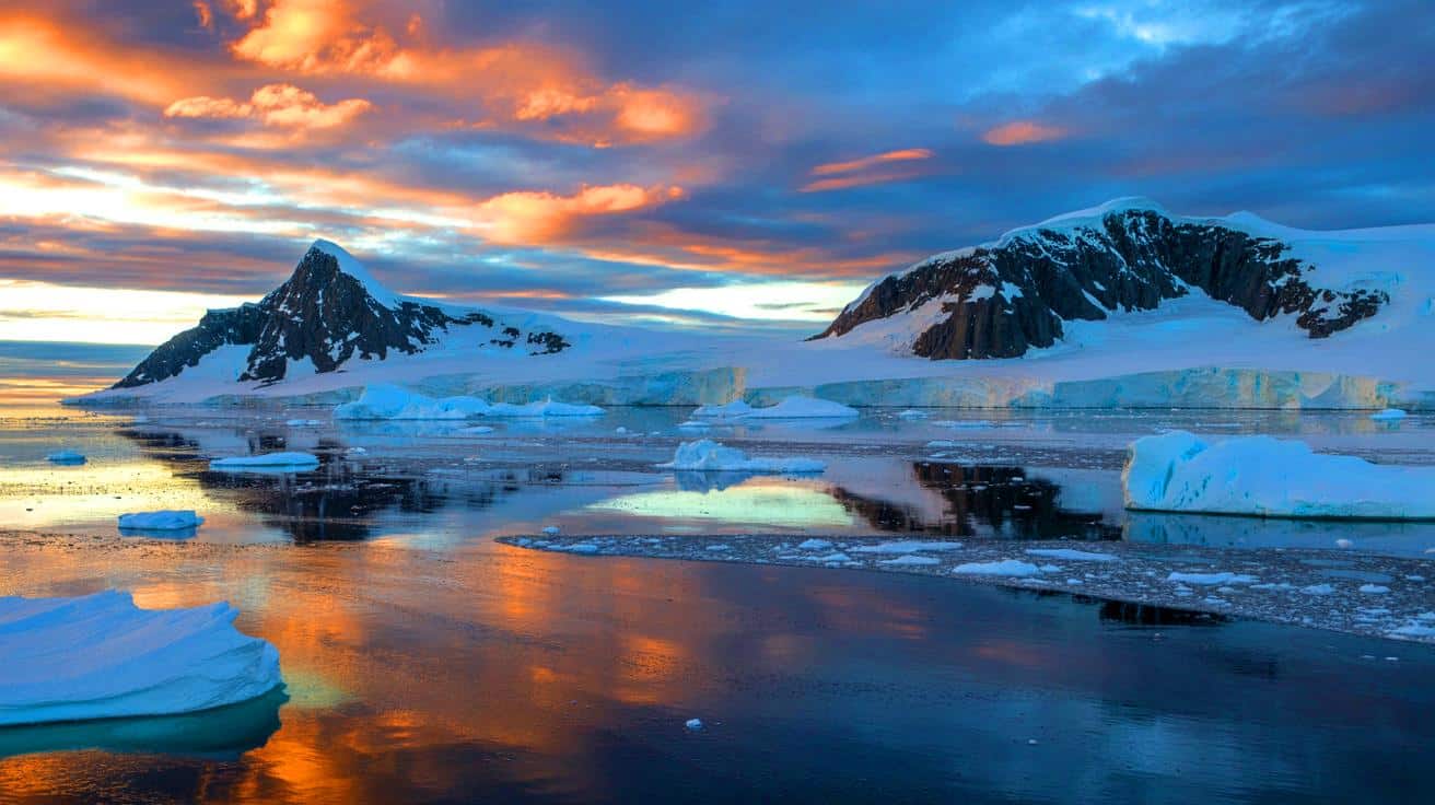
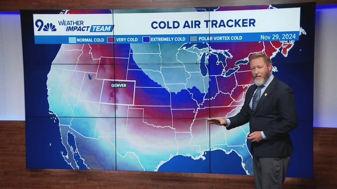
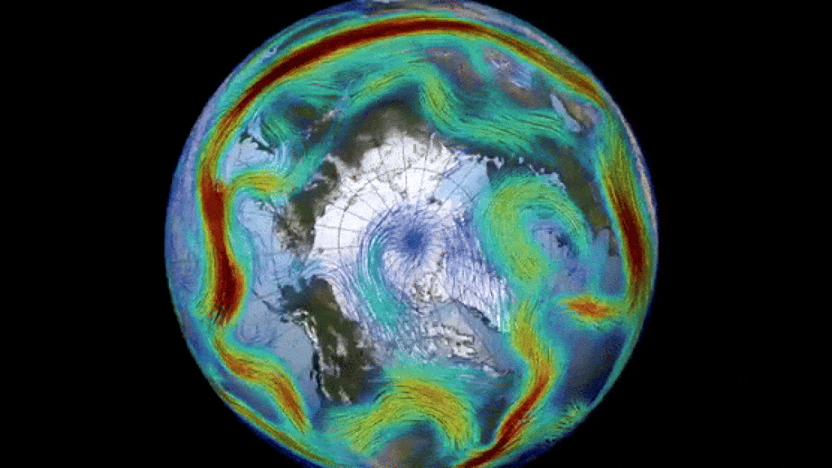
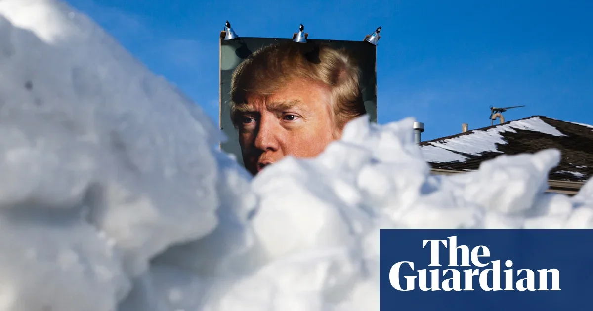
Trump claims the winter storm proves global warming is a hoax, but scientists say the event arises from Arctic air meeting warmer, moister air and may be connected to Arctic warming and polar-vortex disruptions; a single storm isn’t evidence against long-term warming, as US winters have warmed overall and snow patterns are shifting, even as the storm threatens millions with icy roads and outages.