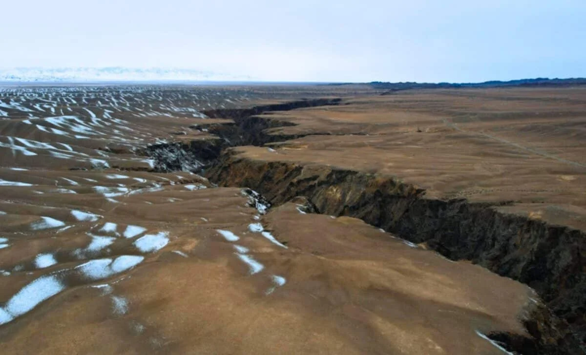
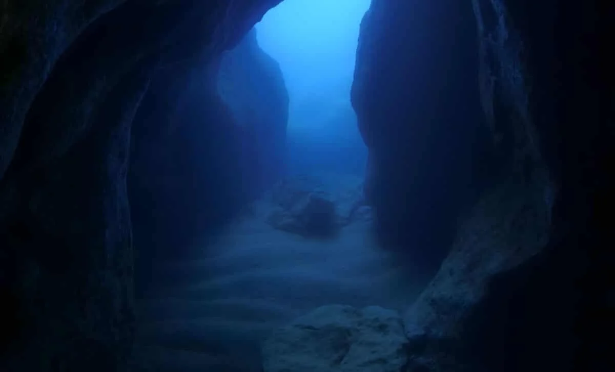
Scientists have discovered a new submerged microcontinent beneath the Davis Strait, challenging traditional views of Earth's landmass formation and offering new insights into microcontinent survival and separation processes, especially in tectologically simple regions.
China is drilling a 6-mile-deep borehole in the Taklimakan Desert to study Earth's crust, tectonics, and ancient geological records, pushing the limits of drilling technology and expanding understanding of Earth's interior.
Scientists have discovered a massive 12.4-mile-thick, unusual rock layer beneath Bermuda, challenging existing geological models and potentially explaining the island's persistent oceanic swell despite the absence of recent volcanic activity. This layer, a remnant of ancient volcanic activity linked to the breakup of Pangea, offers new insights into Earth's tectonic processes and Bermuda's unique geological history.
A recent study in Turkey reveals that the Tuz Gölü Fault, previously thought to be a strike-slip fault, is actually extending vertically with minimal lateral movement, challenging decades of geophysical models and highlighting the importance of long-term geological data in understanding regional tectonics.
A new study challenges the century-old theory of Himalayas formation, proposing that instead of an ultra-thick crust, a 'crust-mantle-crust' sandwich formed through viscous underplating of Indian crust beneath Asian lithosphere better explains the mountain range's geology, with significant implications for understanding mountain-building processes.
A large blob of hot rock beneath the Appalachian Mountains, linked to ancient rifting between Greenland and Canada 80 million years ago, challenges previous theories about continental breakup and may explain the mountain range's uplift, with ongoing research aiming to confirm its origins and implications for Earth's geological processes.
Zealandia, a largely submerged landmass beneath the Pacific Ocean, has been officially recognized as Earth's eighth continent after comprehensive mapping and research, revealing its unique geological features and history as part of Gondwana, with advanced technology enabling detailed exploration of its underwater terrain.
Researchers have traced the origin of the hot rocks beneath New England's Appalachian Mountains to a rift between North America and Greenland that occurred 80-90 million years ago, supporting a mantle wave theory that explains deep Earth processes and their impact on surface geology.
Geologists have discovered a 400-mile-long chain of fossilized volcanoes beneath the Sichuan Basin in southern China, dating back around 800 million years. This find sheds light on early Neoproterozoic tectonic activity, particularly the process of flat-slab subduction, and has implications for understanding Earth's geological history and climate regulation during that era.
A recent study suggests that India may be splitting due to a process called delamination, where part of the Indian Plate detaches and sinks into the mantle, potentially reshaping the Himalayas and increasing earthquake risks in the region.
A study reveals a rare tectonic process called lithospheric dripping beneath Turkey's Konya Basin, where dense crust material sinks into the mantle, reshaping the region's geology and offering insights into planetary tectonics beyond Earth.
A recent geological study suggests that the Indian Plate is undergoing delamination, a process where part of the plate is tearing away and sinking into the mantle, which could significantly impact our understanding of Himalayan formation and earthquake risks in the region.
Geologists have completed mapping Zealandia, a submerged landmass considered Earth's eighth continent, covering nearly two million square miles. The research involved analyzing rock samples from North Zealandia, revealing its geological history tied to the ancient supercontinent Gondwana. Despite being mostly underwater, Zealandia's mapping highlights its significance as a geological entity.
Geologists have discovered the submerged continent of Zealandia, twice the size of India, beneath the southwest Pacific Ocean. A new geological map has been compiled using rock samples and geophysical mapping methods, revealing large sandstone formations and basaltic rock pebbles that suggest Zealandia was gradually flooded around 40 million years ago. The study, "Reconnaissance basement geology and tectonics of North Zealandia," was published in the journal Tectonics in 2023.
Valles Marineris on Mars, the grandest canyon in the Solar System, likely formed from a combination of processes including a giant impact that created Mars's moons, volcanic activity, and tectonic forces. The canyon, spanning 4000 kilometers across and up to 7 kilometers deep, was likely widened and deepened by erosion, landslides, and subsequent impacts. Mars's unique geological history, including the formation and destruction of a transient moon, contributed to the creation of this impressive feature, showcasing the planet's fascinating past and geological diversity.