Tag

Green River

All articles tagged with #green river

Deep mantle shift links rivers as Green River climbs 100 miles
science5 days ago

Deep mantle shift links rivers as Green River climbs 100 miles

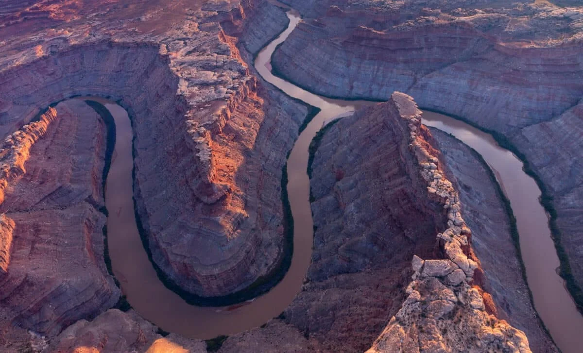
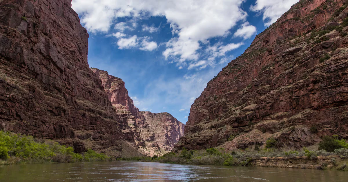
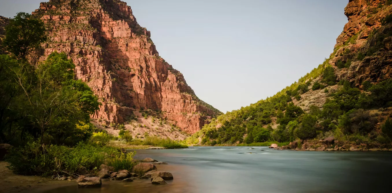
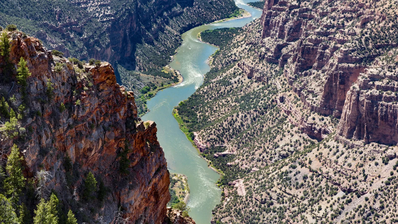
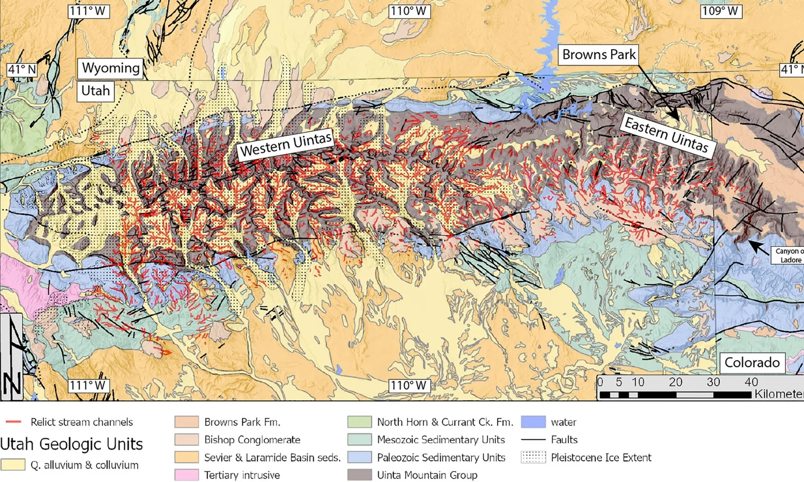
Geologists say a deep lithospheric drip beneath the Uintas briefly lowered a barrier, allowing the Green River to cut uphill and merge with the Colorado River for about 99–100 miles in northeastern Utah. The event is dated to roughly 2.3–4.7 million years ago and is supported by sediment records and seismic imaging showing a mantle root beneath the mountains. This deep-earth movement helped shift the continental drainage divide, enabled fish to mix between basins, and helped carve the Canyon of Lodore, illustrating how subterranean processes shape surface rivers.

Mantle Drip Enables a River to Slice 100 Miles Through Utah's Uintas
science10 days ago

Mantle Drip Enables a River to Slice 100 Miles Through Utah's Uintas

Scientists propose that lithospheric dripping beneath the 13,000‑foot Uintas lowered the mountains, allowing the Green River to carve a continuous 100‑mile path through hard limestone and sandstone; seismic tomography reveals a deep mantle blob consistent with this process, and dating suggests the river’s current course formed about 2–5 million years ago, solving a long‑standing canyon puzzle.

Earth's Hidden Weight Explains Why the Green River Seems to Flow Uphill
science22 days ago

Earth's Hidden Weight Explains Why the Green River Seems to Flow Uphill

A new study explains the Green River’s uphill illusion: a dense lithospheric root beneath the Uinta Mountains slowly sank into the mantle for millions of years, dragging the surface downward. When the root detached a few million years ago, the mountains rose again, leaving the river looking like it flows uphill while gravity remains unchanged.

Lithospheric Drip Redirected a River Across Utah's Uinta Mountains
science23 days ago

Lithospheric Drip Redirected a River Across Utah's Uinta Mountains

Geologists propose that a dense chunk at the base of the Uinta Mountains’ lithosphere ‘dripped’ into Earth’s mantle, temporarily pulling the range downward and allowing the Green River to cut perpendicularly across the mountains to join the Colorado River, forming the Canyon of Lodor. Seismic imaging reveals a ~200 km-deep, cold chunk and thinner crust beneath the range; after the drip broke free about 2–5 million years ago, the mountains rebounded, the canyon solidified, and the Green River became a Colorado River tributary, reshaping North America’s continental divide.

Mantle Drip Carved the Green River Through Utah's Uinta Mountains
science24 days ago

Mantle Drip Carved the Green River Through Utah's Uinta Mountains

Geologists say a lithospheric drip—dense lower-crust material sinking into the mantle—pulled the land downward beneath Utah's Uinta Mountains, creating a temporary depression that let the Green River punch a 700-meter canyon through the range around 8 million years ago; as the drip broke off and the crust rebounded, the river remained entrenched, reshaping North America’s hydrology and the continental divide, with seismic imaging and river-network modeling supporting the scenario.

The Earth's hidden drip redirected a river through a mountain range
science25 days ago

The Earth's hidden drip redirected a river through a mountain range

Geologists have resolved a 150-year mystery: the Green River carved the Canyon of Lodore by exploiting a temporary dip in the Uintas caused by a lithospheric drip, a dense crustal slab sinking into the mantle and then rebounding. Seismic tomography shows a large beneath-the-surface anomaly beneath the Uintas that detached 2–5 million years ago, aligning with uplift inferred from surrounding rivers and the timing of the Green River’s crossing. This deep-Earth process redirected the river from the eastern plains toward the Colorado and reshaped North American drainage and ecosystems, illustrating how deep crustal dynamics can alter surface landscapes.

Ancient mantle drip let the Green River flow uphill through the Uintas
planet-earth25 days ago

Ancient mantle drip let the Green River flow uphill through the Uintas

Geologists propose that a deep mantle “lithospheric drip” under the Uinta Mountains lowered the range, allowing the Green River to carve an uphill route through the Uintas about 8 million years ago. The mountains later rebounded after the drip detached from the mantle around 2–5 million years ago, enabling the canyon and current river path (including the Canyon of Lodore) to form. The idea is supported by seismic-imaging data and landscape modeling, and is published in the Journal of Geophysical Research: Earth Surface.