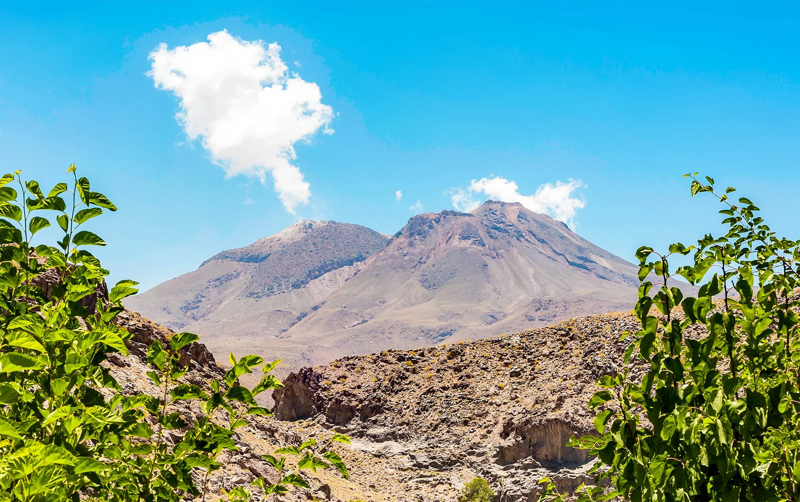
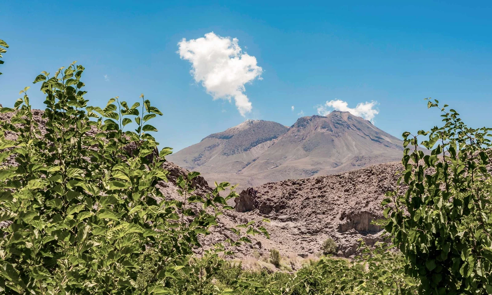
A volcano in southeastern Iran, Taftan, has shown signs of internal activity with a 3.5-inch uplift over 10 months, detected via satellite data, indicating pressure buildup that could lead to future eruptions, primarily as steam-driven blasts, prompting increased monitoring and preparedness efforts.
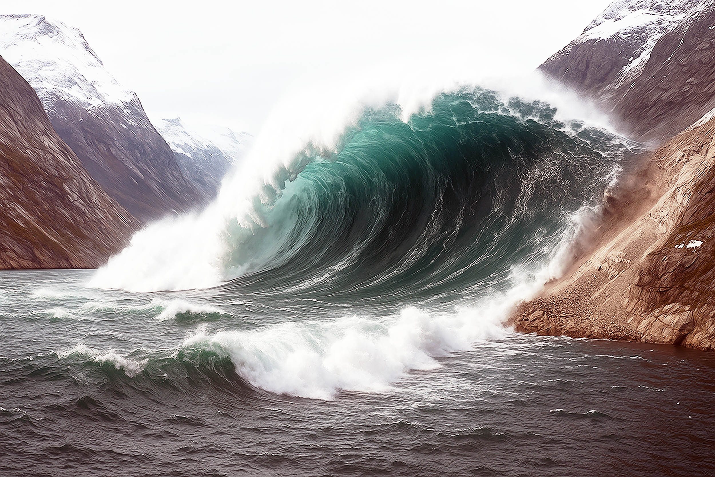
A massive 650-foot tsunami was triggered by a landslide in Greenland's Dickson Fjord, causing seismic waves detectable worldwide for nine days. This event highlights the increasing risks posed by climate change-induced glacier melting and demonstrates the potential of advanced satellite technology to monitor and understand such extreme natural phenomena. Researchers are now working to improve early warning systems and better predict similar events in the future.
A remote volcano in Iran, Taftan, has shown signs of internal pressure buildup after 700,000 years of silence, with satellite data revealing a 3.5-inch uplift over 10 months, indicating potential for future activity, primarily through gas buildup and possible steam-driven explosions, prompting increased monitoring and preparedness efforts.
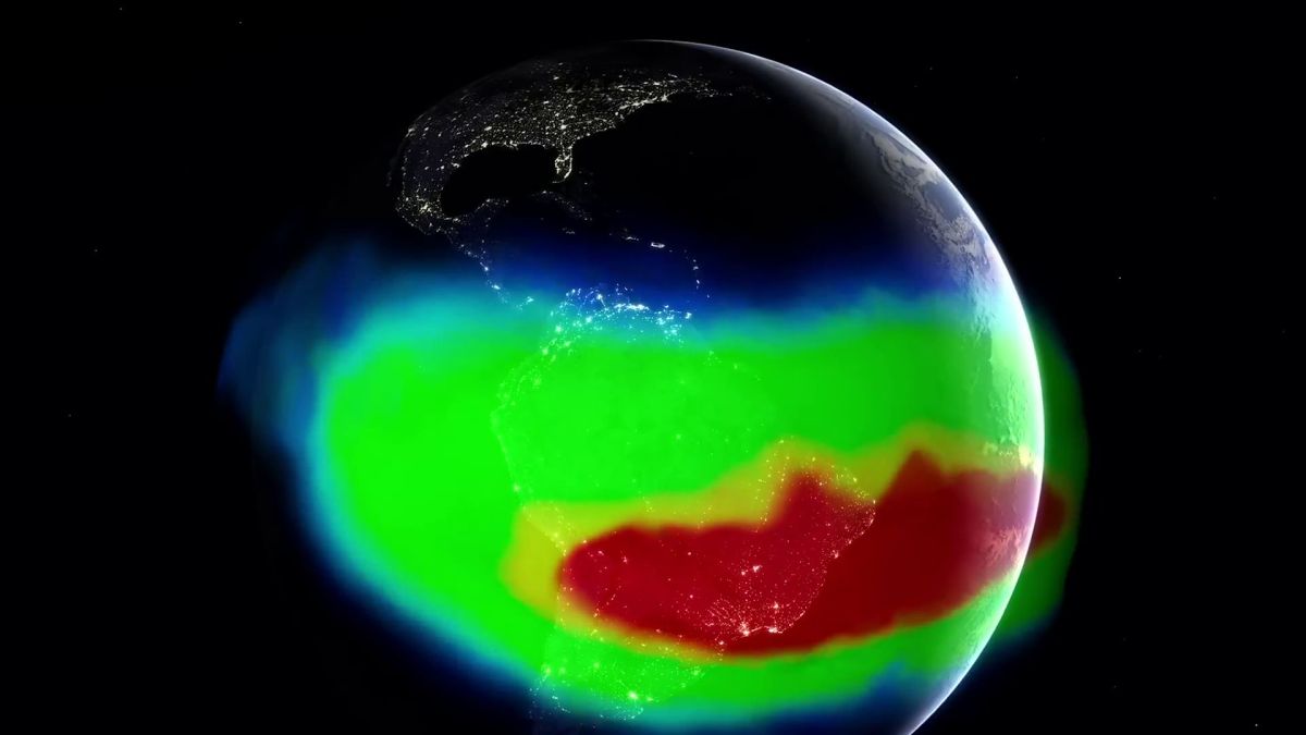
Satellites have revealed that the South Atlantic Anomaly, a significant weakening in Earth's magnetic field, is expanding and becoming more complex, likely due to internal and external geophysical processes, which could impact navigation, satellite safety, and radiation exposure.
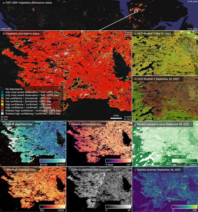
The article discusses DIST-ALERT, an operational satellite-based system that rapidly detects and monitors global land cover changes at 30m resolution using NASA and ESA satellite data, providing critical information for conservation, land management, and policy enforcement, with high accuracy and low latency since 2023.
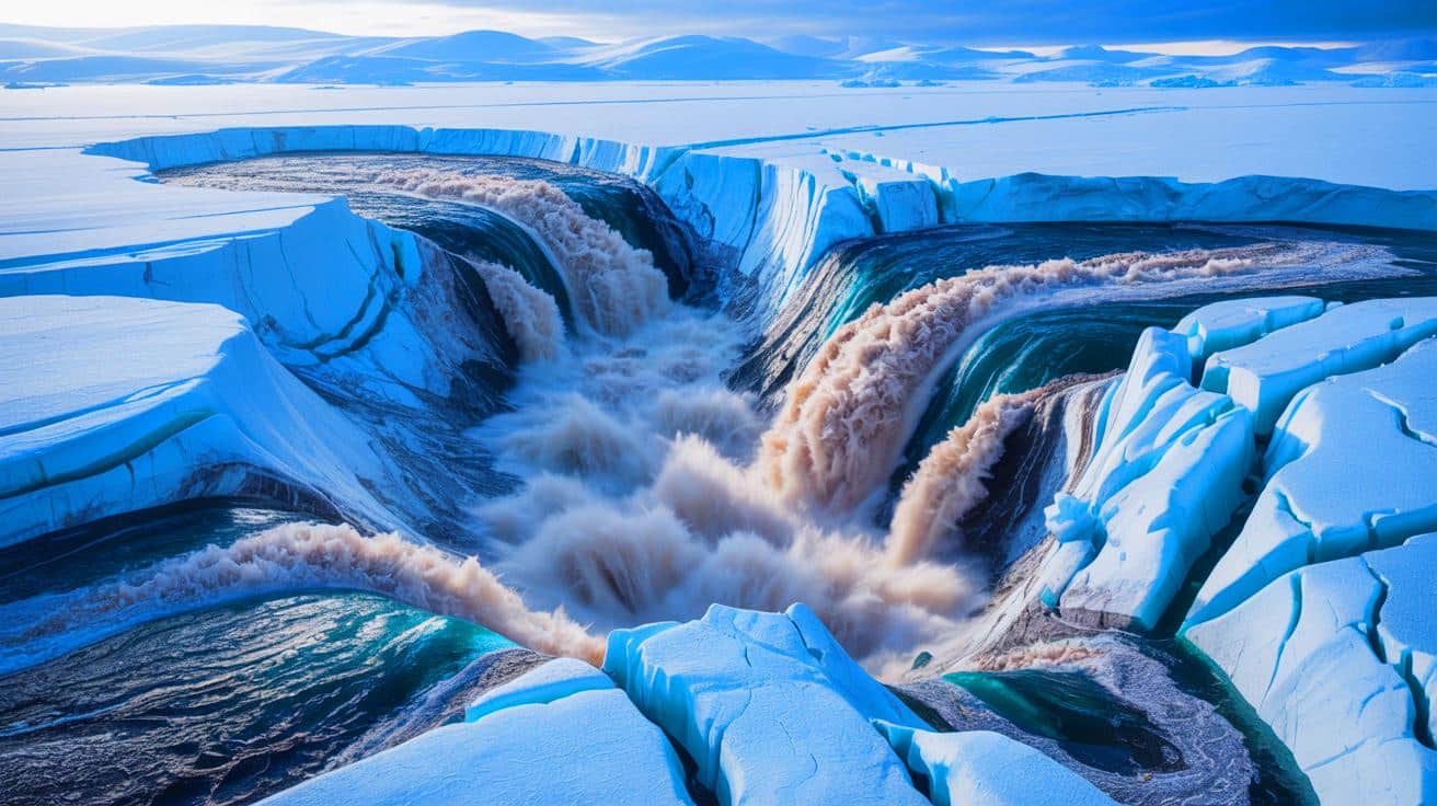
Scientists documented an unprecedented subglacial flood in Greenland, releasing 23 billion gallons of water and forming a large crater, highlighting the impact of climate change on ice sheet dynamics and the importance of satellite technology for environmental monitoring.
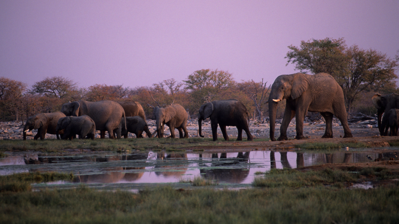
Satellite technology and GPS tracking are being used in Namibia to monitor and protect critically endangered desert elephants, helping reduce conflicts with humans and identify key habitats to support their survival amid environmental pressures and droughts.
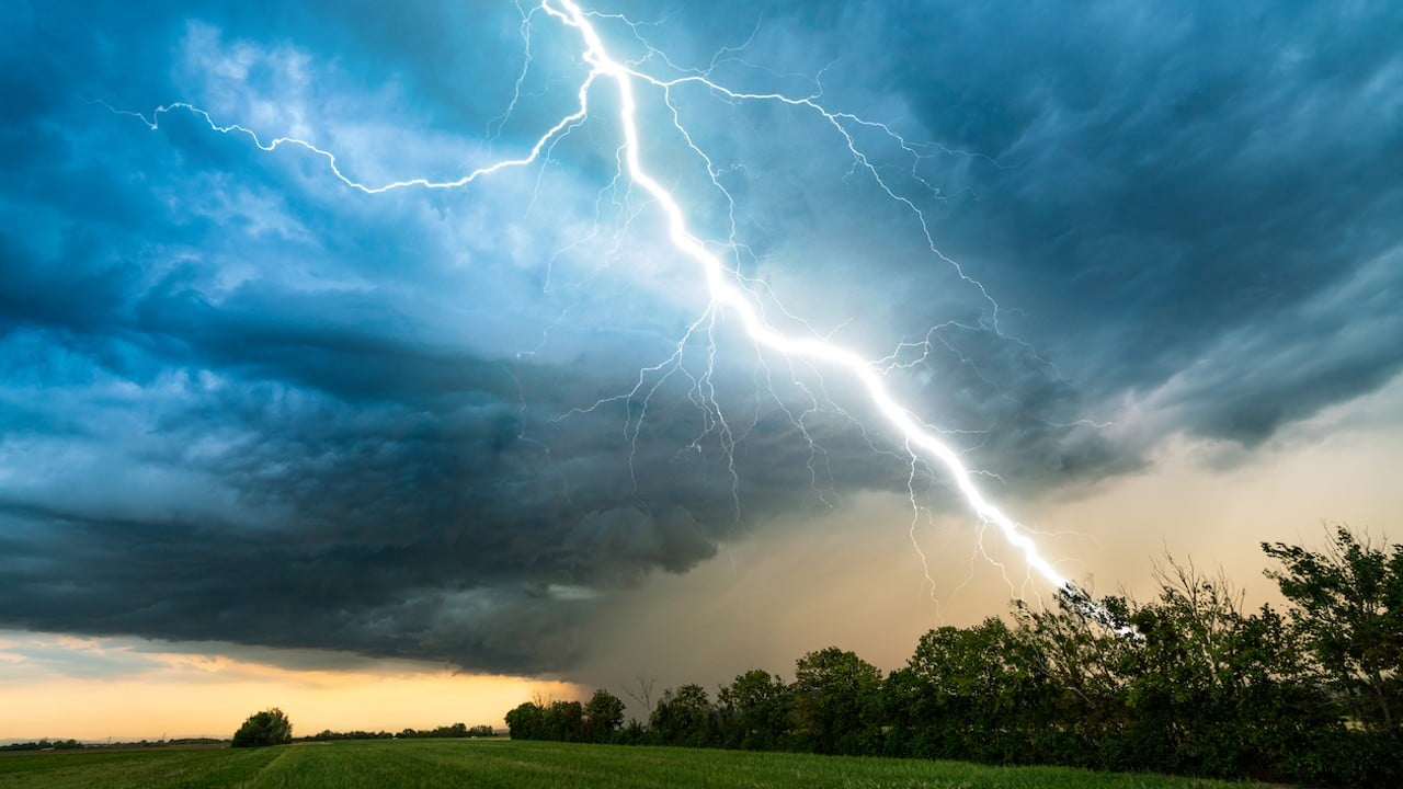
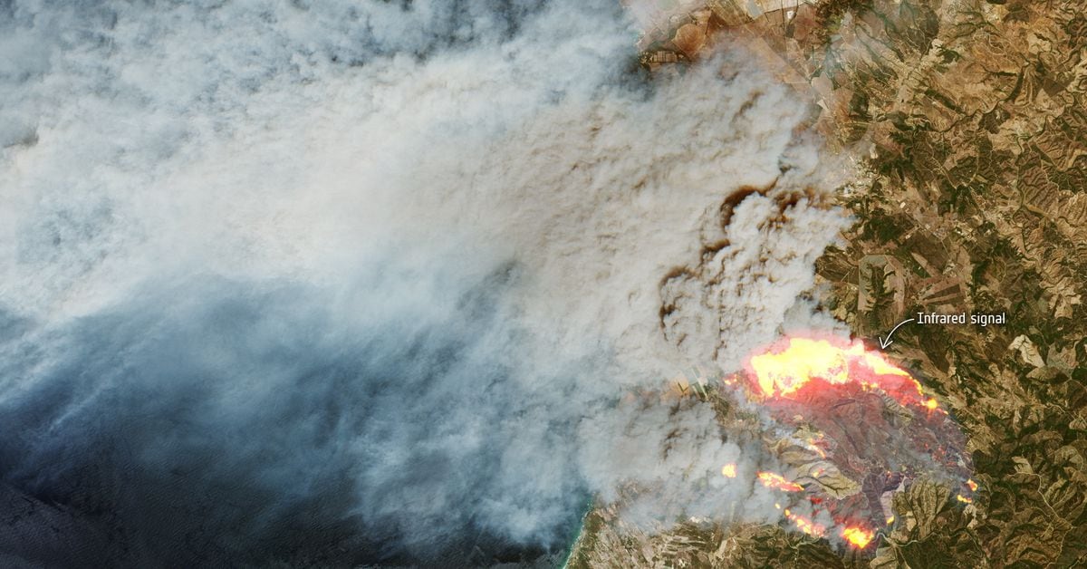
A new record for the longest lightning bolt has been set, spanning 515 miles across five states in the Great Plains, confirmed by satellite data, highlighting advancements in weather monitoring technology and the potential for even longer discharges.
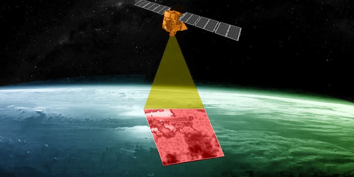
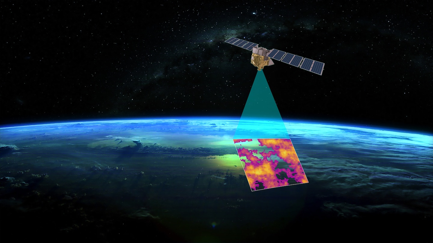
A new satellite, MethaneSAT, has been launched to join the fleet of instruments monitoring methane emissions from space, as our current ability to identify methane leaks is still limited. With the increasing number of methane-detecting satellites and instruments, scientists aim to gain a better understanding of methane sources and emissions to effectively tackle climate change. MethaneSAT will provide more accurate basin-level emissions estimates, track progress on emission reduction pledges, and help in the development of new methane regulations and standards. However, there is still a need for more comprehensive coverage, especially in monitoring natural sources of emissions like wetlands.
A new satellite designed by the Environmental Defense Fund and Harvard University will track methane emissions from the oil and gas industry, aiming to publicly reveal major polluters and hold them accountable. Methane, a potent greenhouse gas, accounts for nearly a third of global warming, and cutting its emissions is crucial in slowing climate change. The satellite, MethaneSAT, is part of a new wave of transparency in monitoring methane emissions, with other satellites set to launch in the near future. While satellite tracking is an important step, progress ultimately depends on companies taking action to reduce emissions.
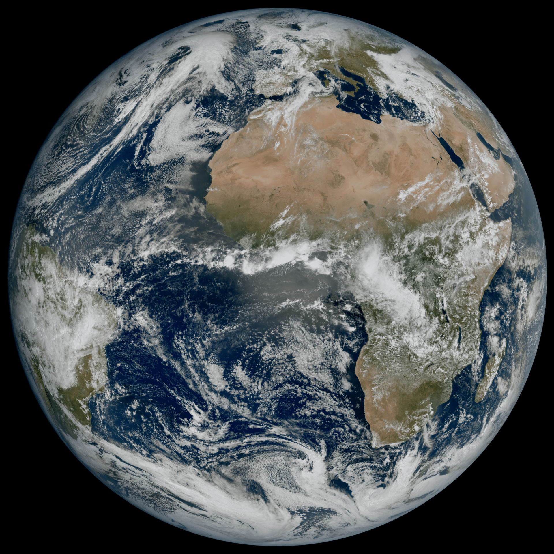
The top 10 Earth observation stories of 2023 include the 25th anniversary of Copernicus, the detection of smelly seaweed from space, the counting of wildfires across the globe, record low ice loss from Antarctica and Greenland, the breaking free of an iceberg larger than London, the prediction of 2023 being the hottest year on record, the mapping of methane super-emitters using three Sentinel satellites, the observation of one of the biggest ozone holes on record, the end of the Aeolus wind mission, and the entry into a new era of satellite meteorology with the Meteosat Third Generation Imager.
Josef Aschbacher, director general of the European Space Agency, has warned against wavering political commitment to combating climate change in Europe, citing record-breaking heatwaves and wildfires as evidence of the urgency. Aschbacher emphasized the need to mitigate the effects of climate change, stating that it remains the biggest threat to the planet and humankind. He called for immediate action based on "crystal clear" evidence, including satellite measurements, of the recent heat emergency in southern Europe. Aschbacher also highlighted the funding gap for the Copernicus satellite program, which monitors vital climate parameters, and urged for a funding decision by June 2024 to ensure uninterrupted development of the next set of Sentinel satellites.
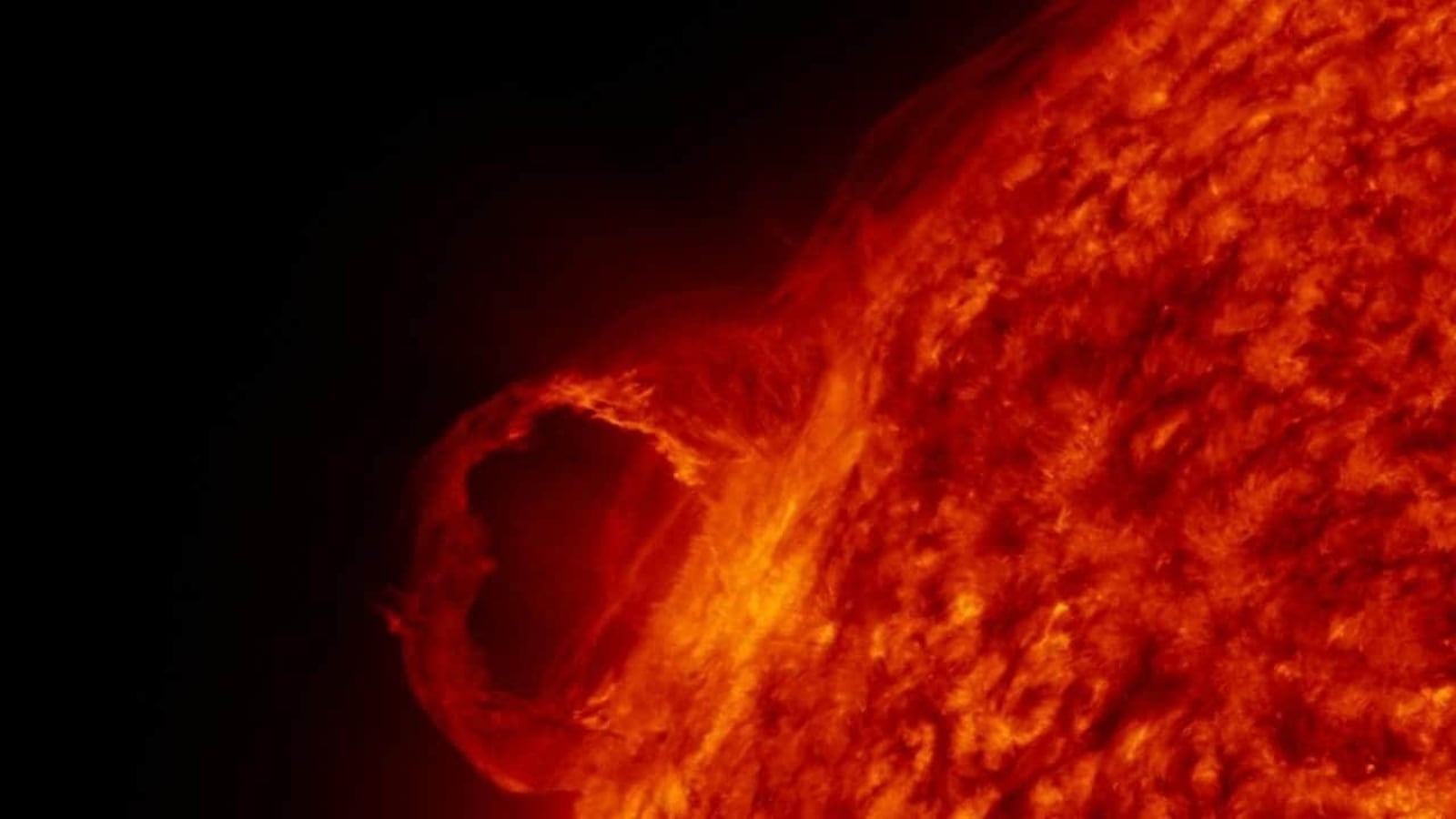
The National Oceanic and Atmospheric Administration (NOAA) has warned that Earth will be hit by a massive coronal mass ejection (CME) cloud today, resulting in a geomagnetic storm. This comes after a period of relative calm where Earth avoided three CME hits. Researchers are concerned about the potential impact on satellites and wireless communication infrastructure. While the storm is expected to be of a minor G1-class, it could still cause radio blackouts and disrupt GPS signals. NOAA monitors solar storms using its DSCOVR satellite to gather data for analysis.
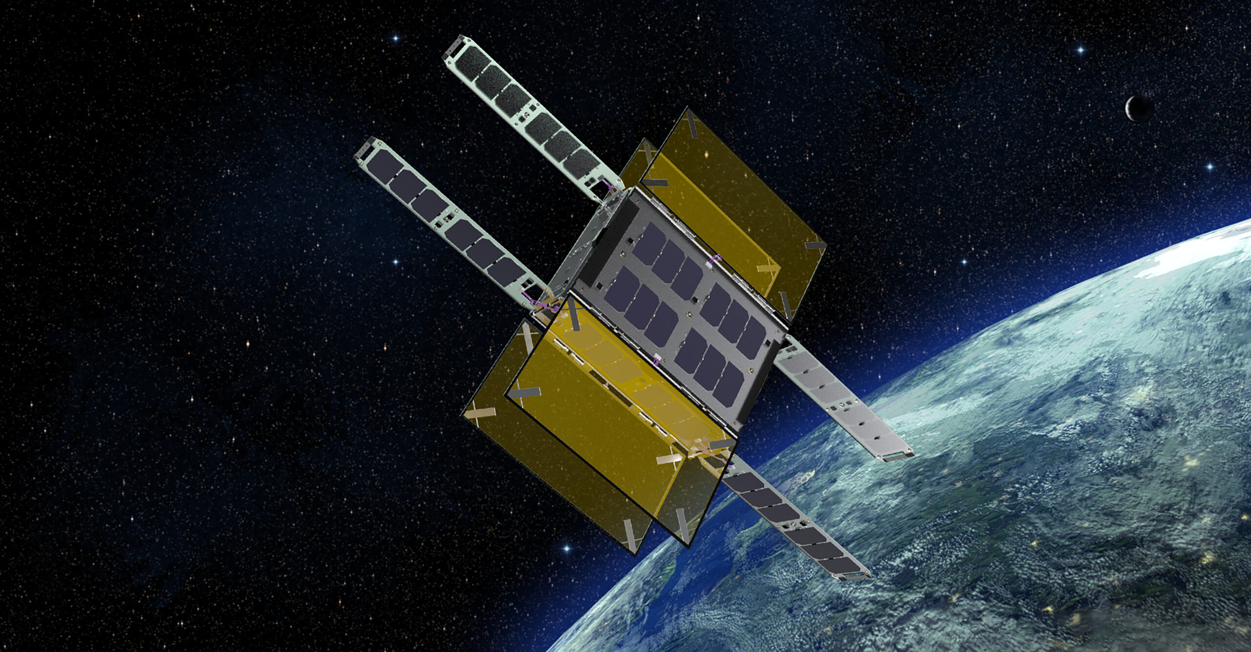
British startup Odin Space has successfully powered up a demo sensor integrated with D-Orbit's satellite-carrying ION orbital transfer vehicle, which will be used to detect tiny orbital debris as small as one-tenth of a millimeter. The sensor's sensitivity is currently tuned to detect background vibrations from the host satellite, but will be adjusted to track sub-centimeter debris that can cause damage to spacecraft in orbit. Odin plans to launch hundreds of sensors on third-party satellites to create a high-resolution map of the debris environment and is seeking investments to expand its customer base and deploy the first phase of its sensor network.