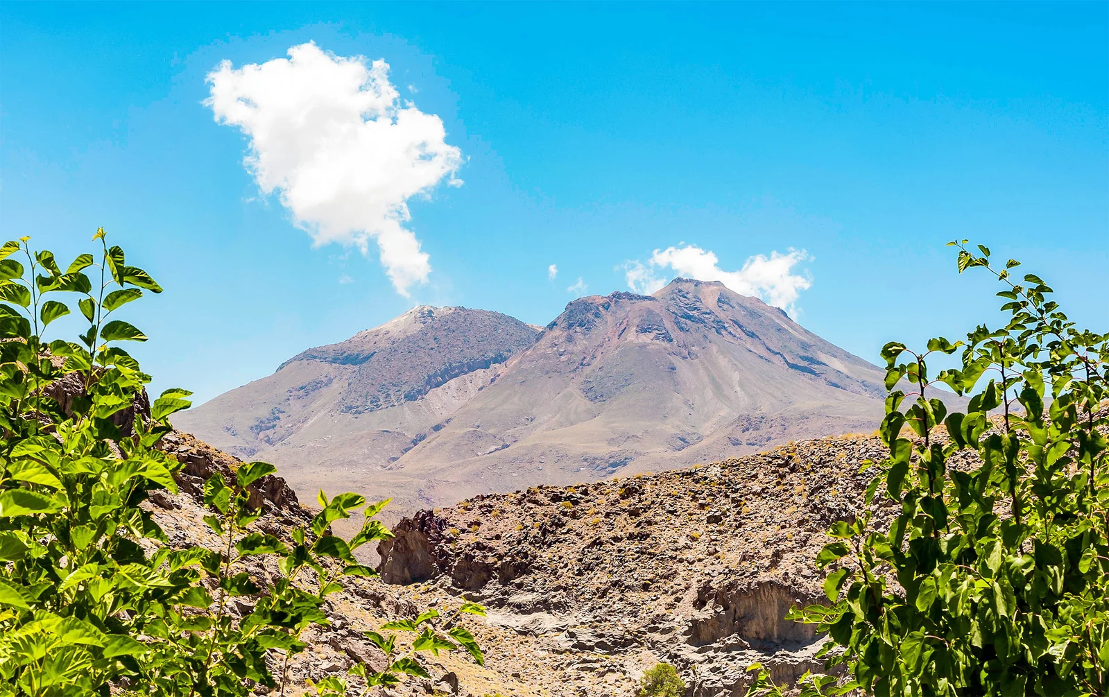
Iran's Taftan Volcano Uplifts, Hinting at Wake-Up After 700,000 Years
Satellite data show the Taftan volcano in southeastern Iran rising about 9 cm (3.5 inches) over 10 months, signaling pressure building in a shallow hydrothermal system near the summit rather than a magma-driven eruption. Researchers say the uplift, detected by InSAR from Sentinel-1, warrants ongoing monitoring (gas emissions, seismometers, GPS) and hazard planning, since phreatic blasts could occur even without lava flows.