Biomass satellites frees its data stream to illuminate global forest carbon
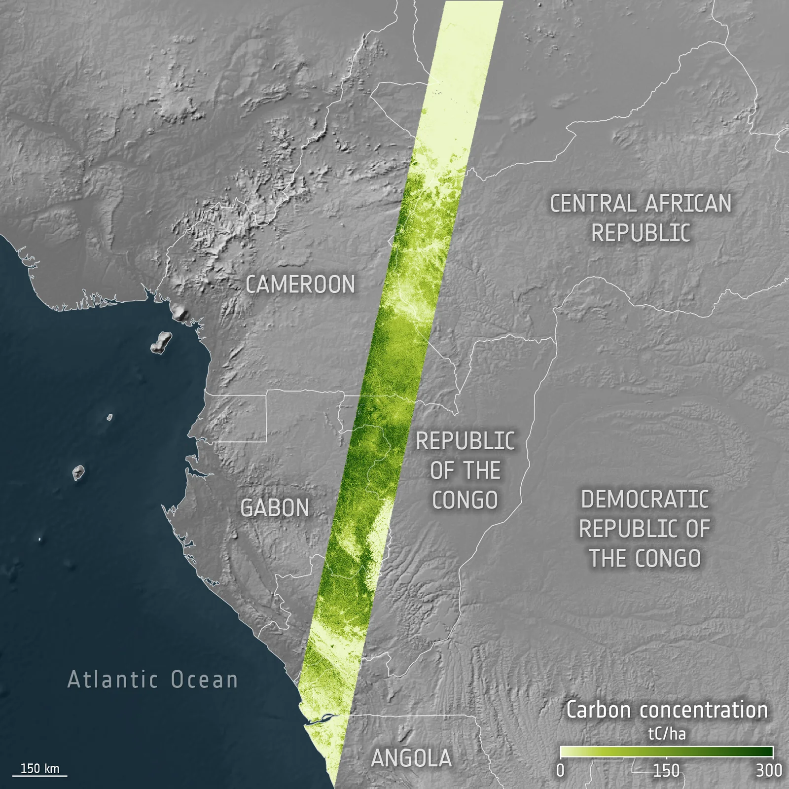
ESA’s Biomass, a P-band radar satellite launched in 2025, has completed commissioning and now offers free, public access to its data to map forest structure and carbon storage. The mission begins with an 18-month global tomographic coverage, followed by multiple nine-month interferometric coverages to monitor forest change over time, with an airborne calibration campaign in Gabon aiding data validation and calibration. The effort aims to reduce uncertainties in global forest carbon stocks and support climate science and forest management.