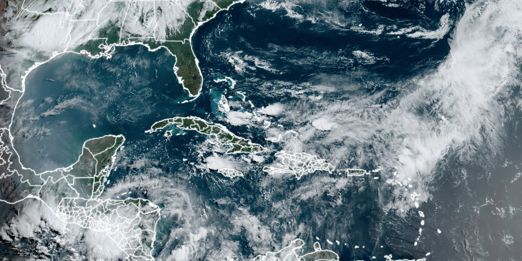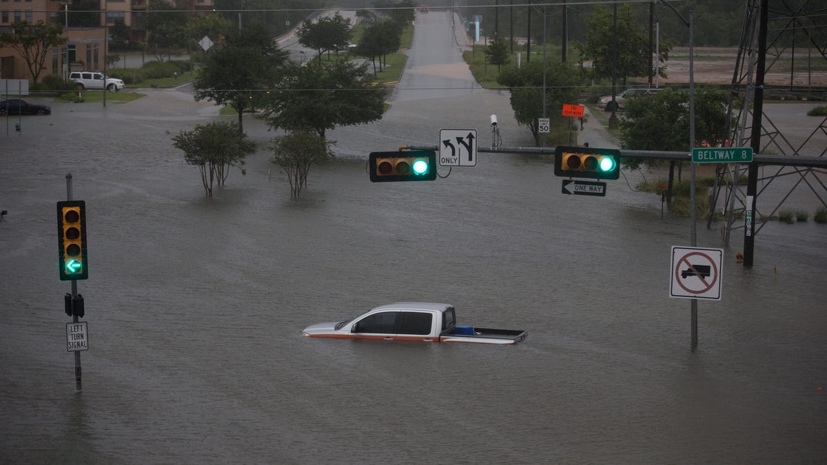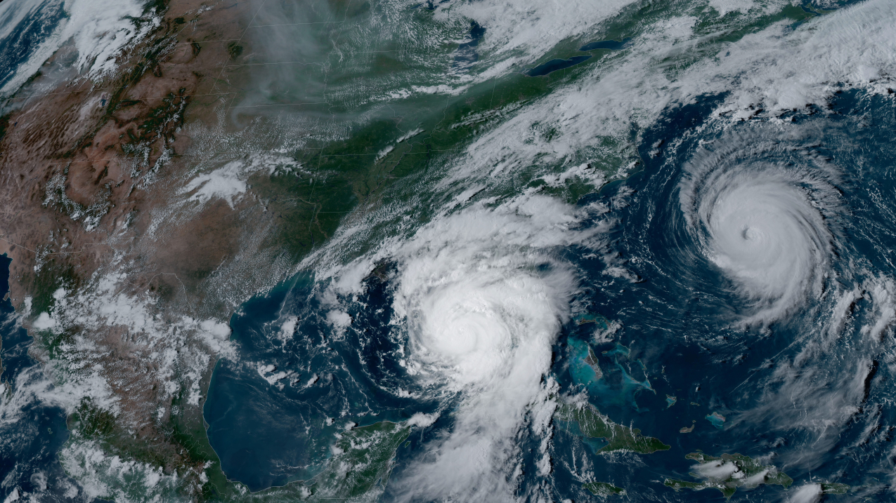
La Niña cools 2025 but planet stays on record-hot streak, scientists warn
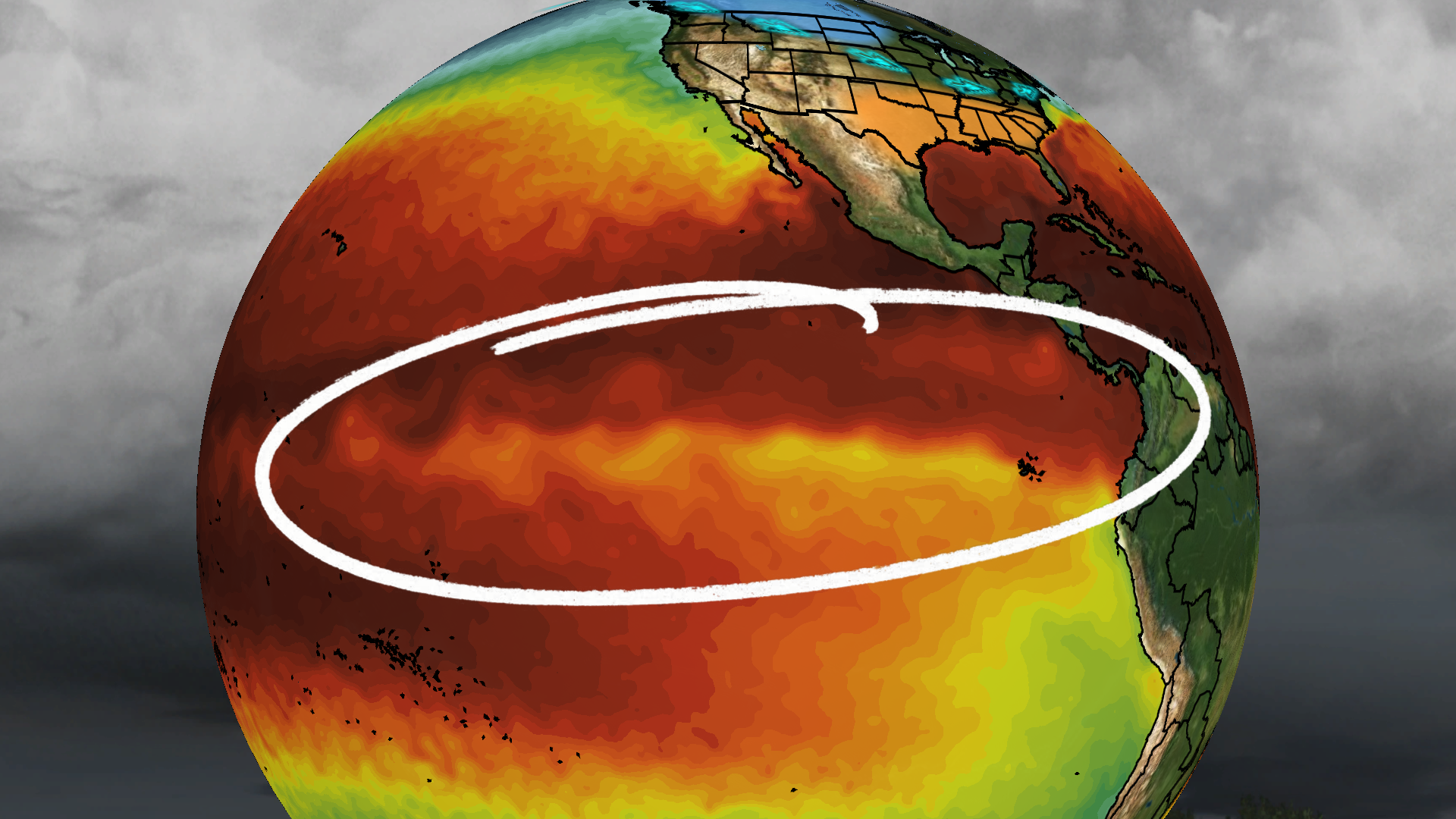
Global temperatures in 2025 averaged about 1.4C above pre-industrial levels, cooler than 2024 due to La Niña, but the last three years have been the warmest on record. Despite natural cooling, human-caused emissions continue to drive long-term warming, bringing the world closer to the 1.5C target and signaling more heat records and extreme weather unless emissions are sharply reduced and adaptation is intensified.