geology9.165 min read
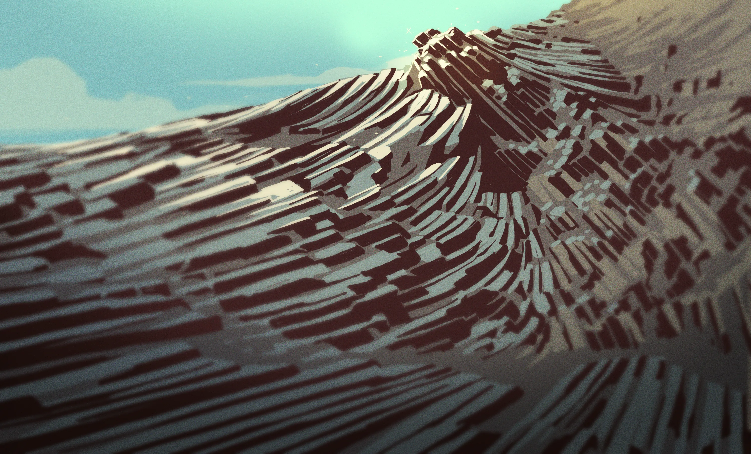
Hydrothermal Processes in Ore Formation
5 months ago•Source: Hackaday
The latest geology stories, summarized by AI
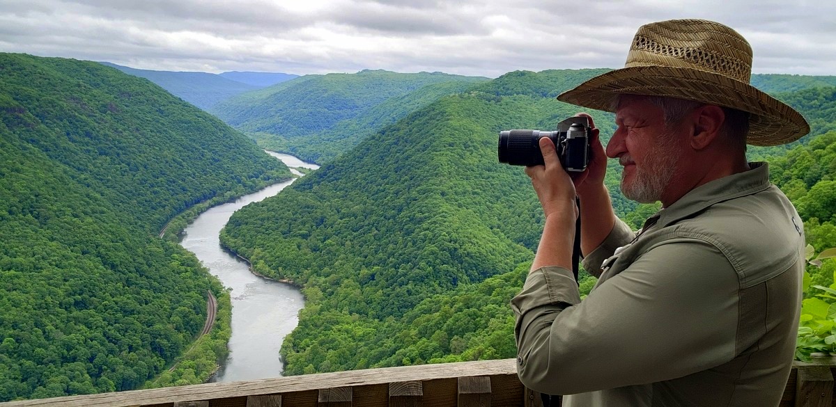
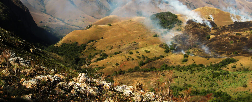
The ancient Teays River, once a major river system in West Virginia, was buried under sediment by the Laurentide Ice Sheet during the last Ice Age. This glaciation reshaped the region's geography, creating large lakes like Lake Tight and Lake Monongahela, which altered river courses and led to the formation of the Ohio River. Geologists continue to study these changes, piecing together the complex history of the region's prehistoric rivers and glacial impacts.

Livescience.com•1 year ago
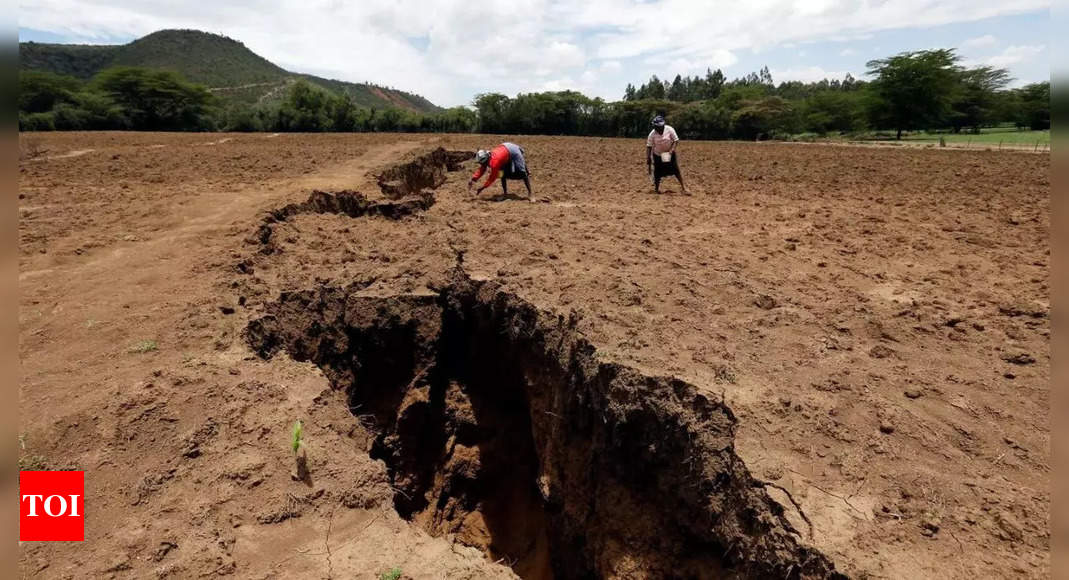
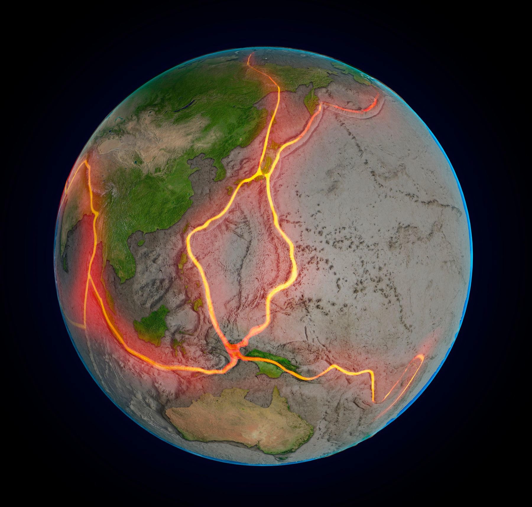
Geologists have identified a rare geological phenomenon in the Afar Triangle in Africa, where the movement of tectonic plates is gradually splitting the continent. This process, which has been ongoing for millions of years, could eventually lead to the formation of a new ocean in 5 to 10 million years. The East African Rift provides a unique opportunity for scientists to study the stages of rifting, with modern technology aiding in precise measurements of ground movement. The potential creation of a sixth ocean highlights the Earth's ever-changing nature and the importance of understanding geological processes.
Scientists have discovered evidence of some of the earliest known earthquakes in 3.3 billion-year-old rocks from the Barberton Greenstone Belt in Africa, shedding light on early plate tectonics and conditions when life first evolved. The rocks resemble those in New Zealand that have experienced earthquake-triggered submarine landslides, suggesting a prolonged period of shaking. The findings hint at the role of subduction zones in creating conditions for life and offer insights into Earth's early geological history.
Researchers have uncovered evidence in the Barberton Greenstone Belt in Africa that suggests the early Earth experienced large earthquakes caused by tectonic plate subduction, contrary to previous beliefs. By studying rocks in New Zealand, they found similarities with the ancient rocks in Africa, indicating the presence of ancient landslides triggered by earthquakes. This discovery may also provide insights into early volcanic activity and the potential origins of life on Earth.
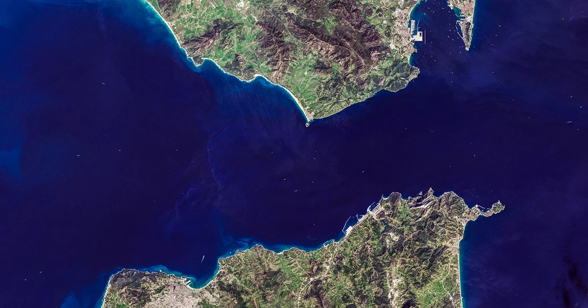
Scientists studying strange earthquakes beneath Granada, Spain, discovered that an oceanic slab, the "Alboran slab," had completely flipped upside down as it was being pushed beneath its neighbor, the Eurasian slab. This unprecedented finding, detailed in a new paper, sheds light on how pieces of the Earth's crust interact and their relation to seismic activity, while also providing a fresh sense of wonder for the extraordinary geographical marvels of our planet.
Geologists have uncovered a new origin story for the Seattle fault zone, suggesting its formation around 55 million years ago due to tectonic deformation and interactions with ancient volcanic islands. This study, published in Tectonics, aims to enhance hazard modeling for the densely populated Puget Sound region. The research reveals magnetic evidence indicating the fault's potential origin from the continent's edge splitting in half over 50 million years ago, offering a fresh perspective on the fault system's initial formation and providing valuable details about the region's geologic structure.
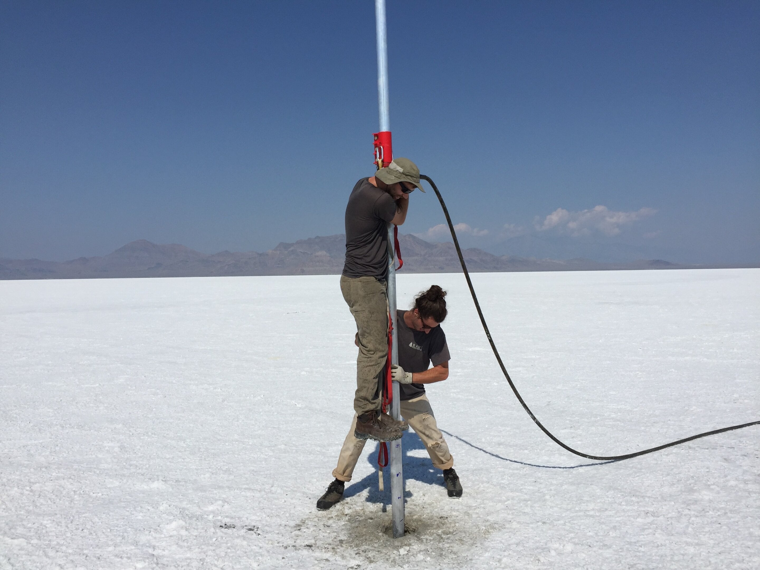
New research from the University of Utah challenges the long-held belief that the Bonneville Salt Flats were formed as Lake Bonneville dried up 13,000 years ago, revealing that the salt crusts actually began accumulating between 5,400 and 3,500 years ago. This study, published in the journal Quaternary Research, suggests that the landscape is more dynamic than previously understood, with evidence of erosion and accumulation of gypsum sand during dry periods. The findings have implications for managing the shrinking salt flats and offer insights into how this unique geological feature could be managed differently in the future.
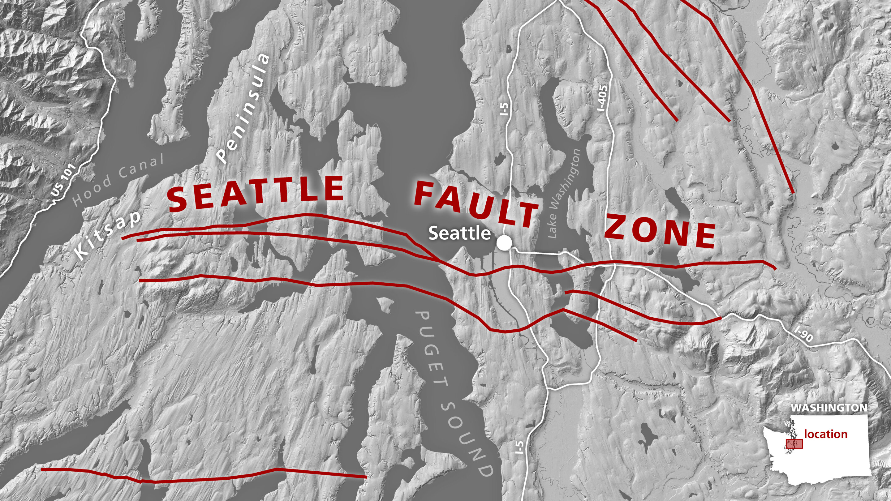
A new study proposes an origin story for the Seattle fault, suggesting that around 55 million years ago, an island chain was pulled toward the continent, leading to a major ancient fault that set the geologic stage for the modern Seattle fault. The study's findings provide valuable details about the bedrock under the Seattle basin, aiding in more accurate models of future ground shaking in the area and potentially improving hazard modeling for the densely populated region.
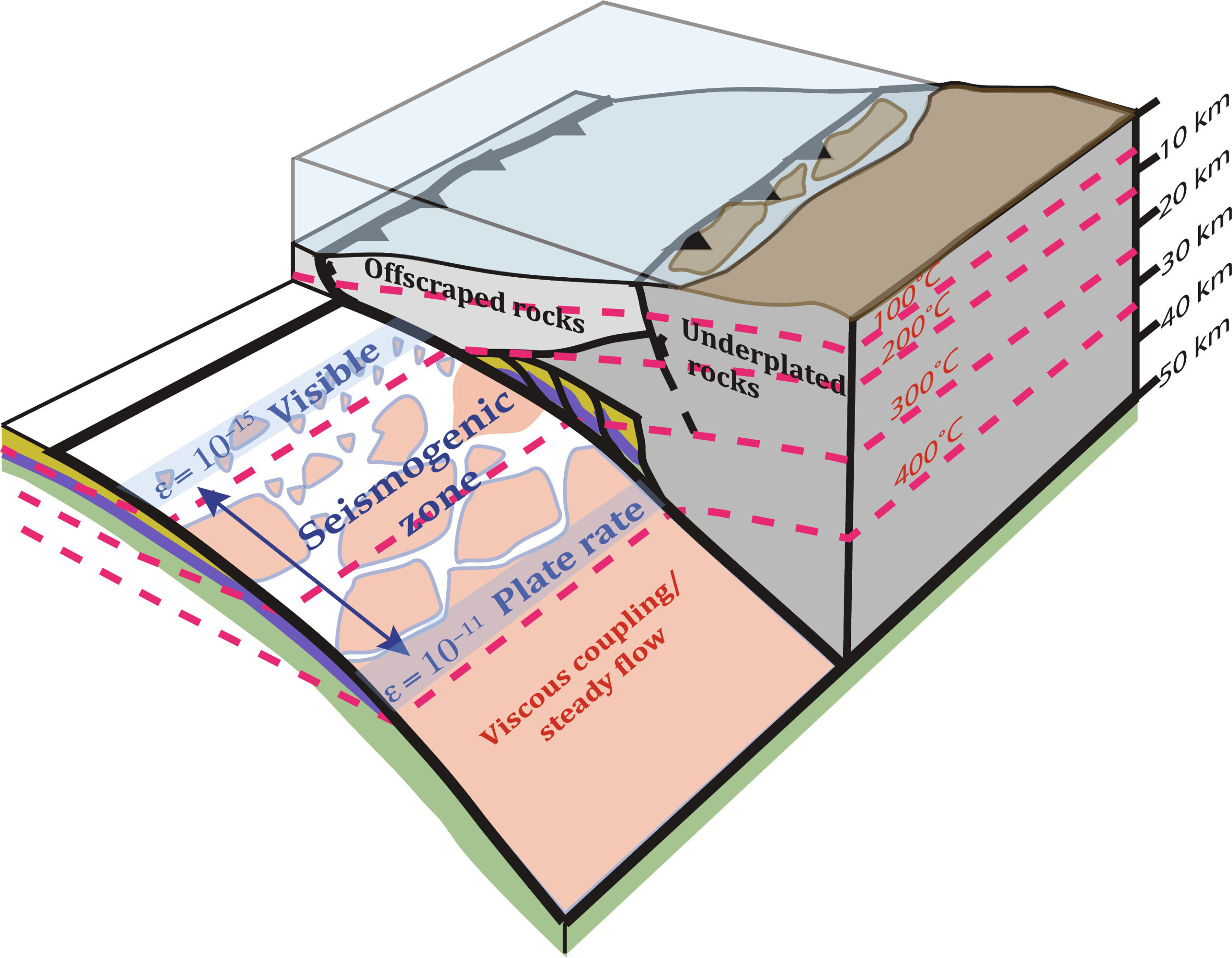
Researchers from Penn State and Brown University have studied ancient rocks from subduction zones to develop a new model for predicting pressure solution activity in these zones between major earthquakes. The study provides insights into how rocks deform under pressure, influencing tectonic plate movement. The findings could improve earthquake predictions and have been applied to the Cascadia Subduction Zone, suggesting potential for a major earthquake in the region.
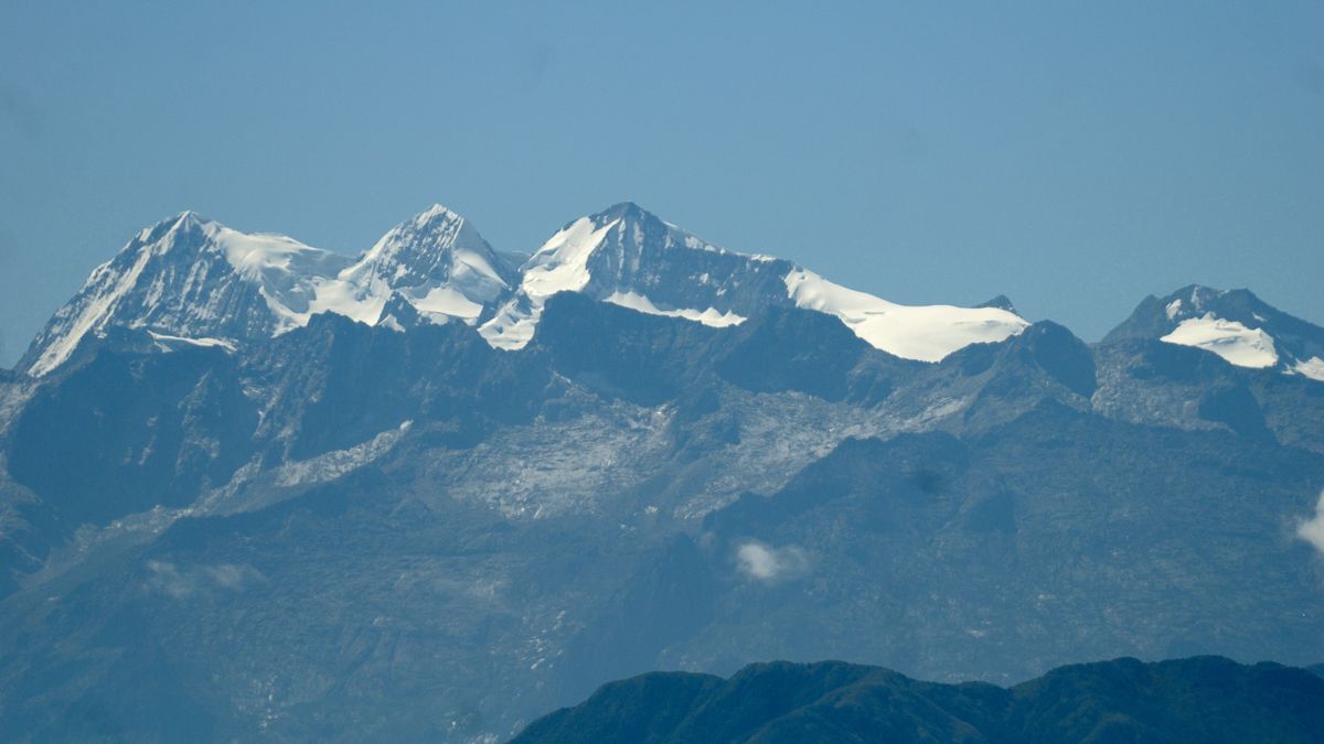
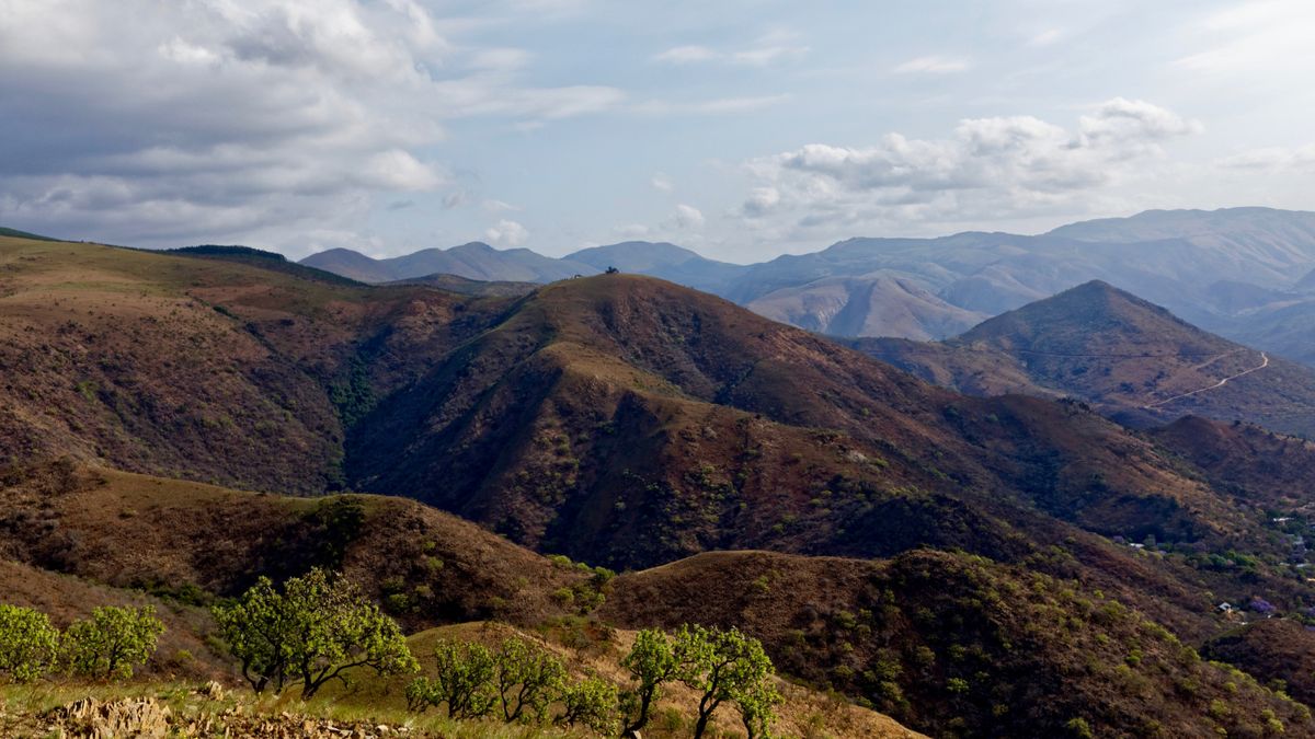
A new study suggests that the Sierra Nevada de Santa Marta mountains in Colombia have lost their "roots" as a wedge of Earth's crust that once supported them has dripped down into the mantle over a period of 10 million years. Despite this, the mountains still stand tall, perplexing geologists. The study proposes that lithospheric dripping, where the lower lithosphere sinks into the mantle, may explain this phenomenon. The mountains may have lost their roots as recently as 2 million years ago, and other factors such as the strength of the surrounding lithosphere and the rise of the mantle may have contributed to their continued stability.
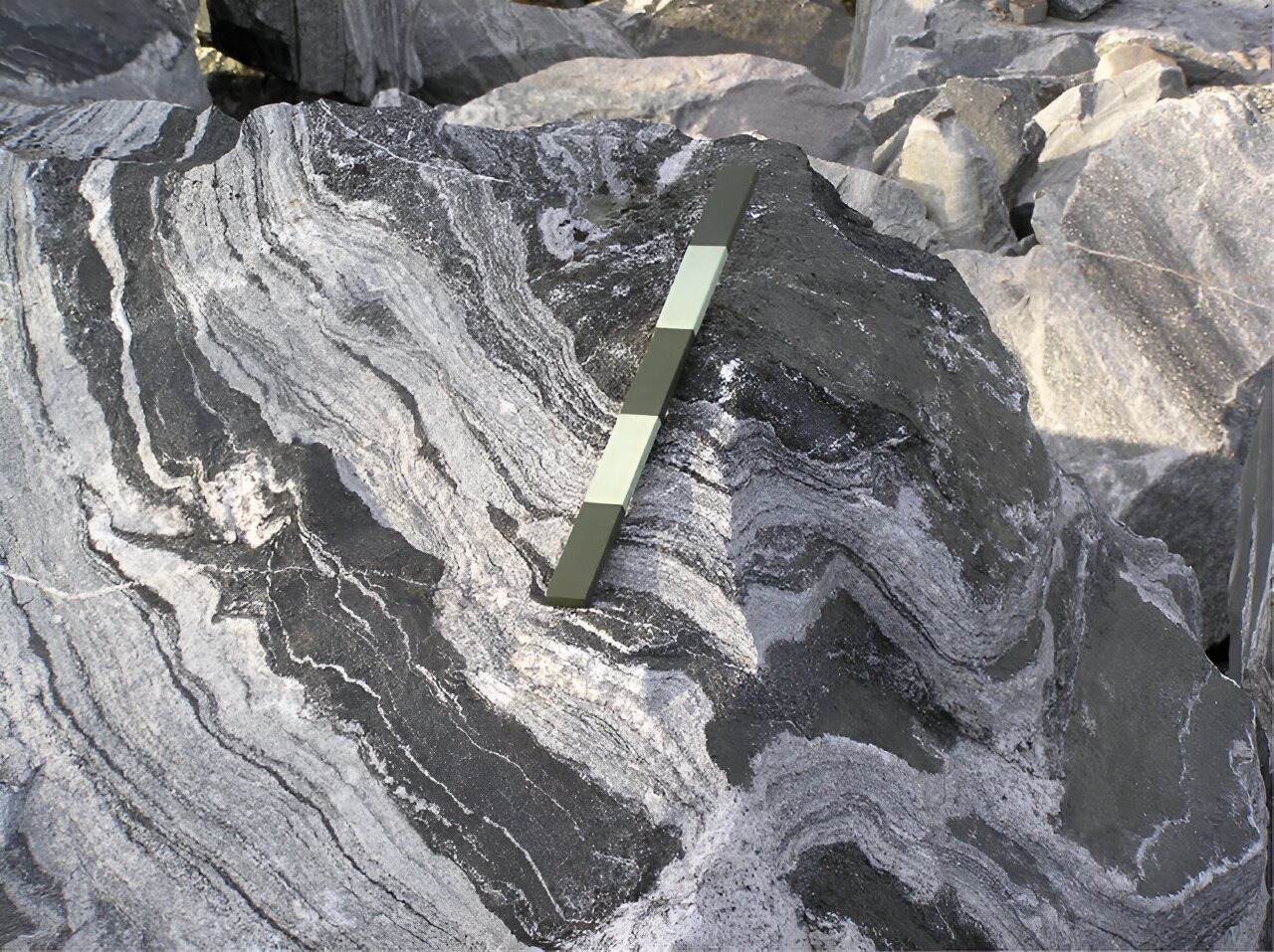
Geoscientists have discovered the source rocks of the first continents, revealing a revised origin story that relies solely on internal geological forces within oceanic plateaus during the Archean Eon. The study, published in Nature Communications, identifies a specific set of trace elements that allowed researchers to trace the melt compositions back to their initial state and source, likely a type of gabbro. This discovery challenges the long-standing theory that Archean granitoid rocks were formed in Earth's first subduction zones and marks the start of plate tectonics, providing a new understanding of how the continents developed.