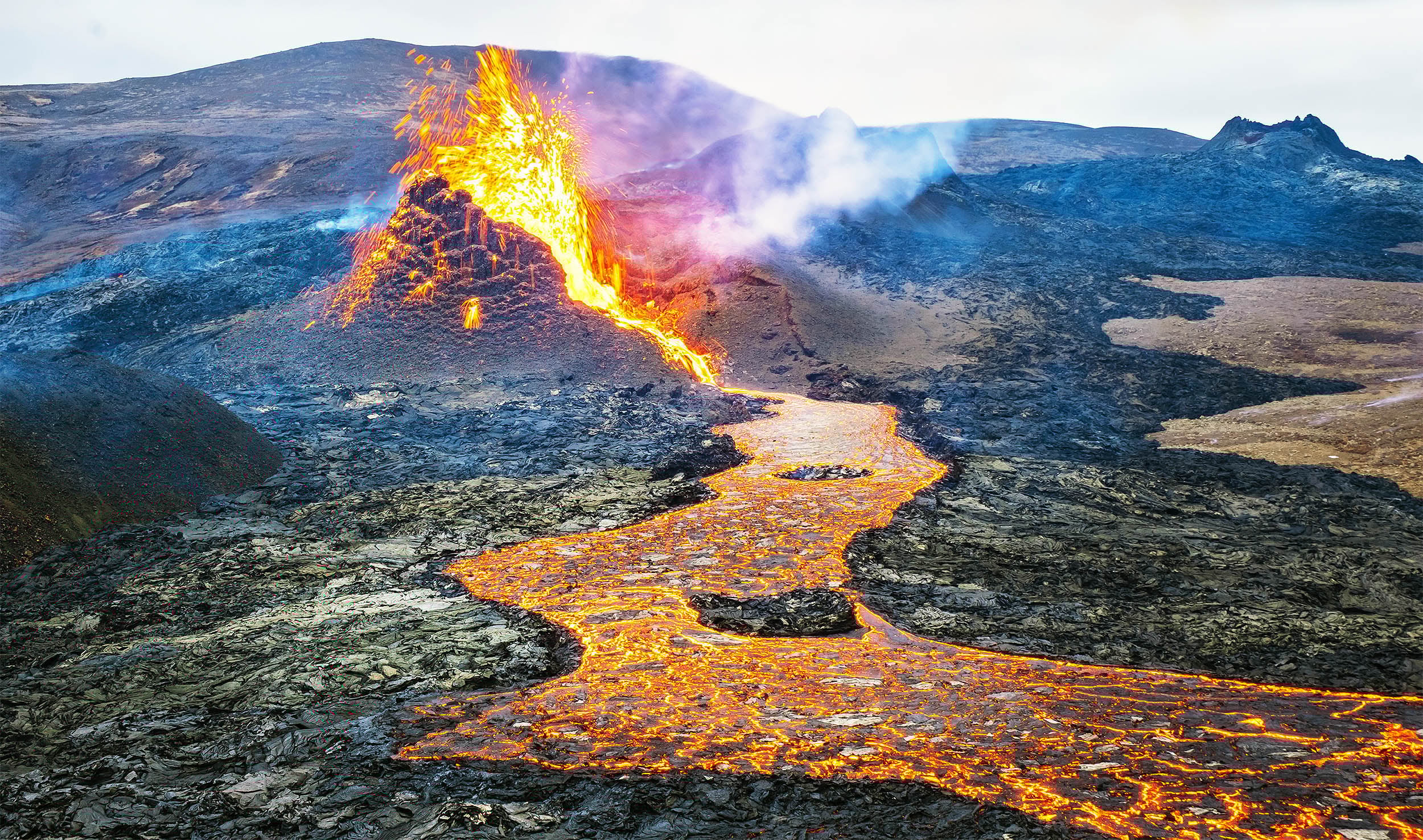
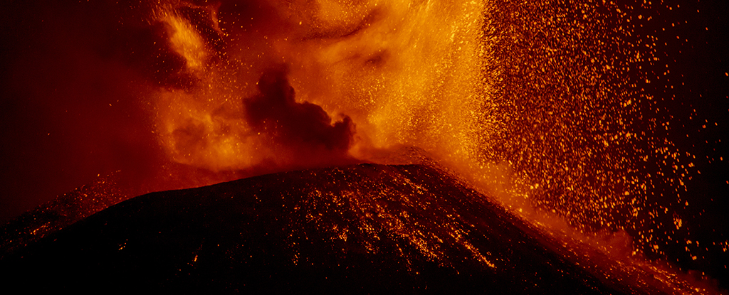
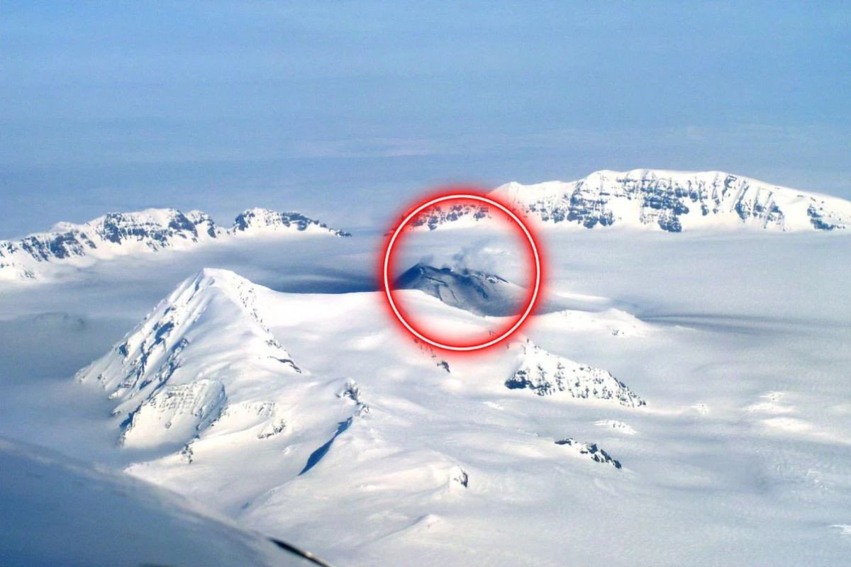
Mount Veniaminof in Alaska exemplifies a new category of silent, stealth volcanoes that erupt without warning, challenging traditional monitoring methods. Recent research reveals that slow magma supply, small magma chambers, thermal adaptation of surrounding rocks, and specific chamber geometries enable these eruptions to occur undetected. Advanced technologies like tiltmeters, fiber optics, infrasound sensors, and AI are crucial for improving detection and hazard assessment, which has significant implications for global safety and emergency preparedness.
Scientists have discovered traces of gold and other metals in Hawaiian lava, indicating that some core-derived materials are slowly migrating upward through Earth's mantle and volcanic activity, challenging previous notions of the core's isolation and offering new insights into Earth's internal processes and mineral distribution.
New research suggests Hells Canyon, North America's deepest gorge, formed about 2.1 million years ago due to a flood event that diverted water from Lake Idaho, making it younger than previously thought and providing new insights into canyon formation and landscape evolution.
A recent survey of volcanic deposits off the coast of Japan has revealed that a volcanic eruption 7,300 years ago formed a large underwater caldera, making it the largest volcanic eruption in the past 11,700 years. The Kobe University research team used seismic imaging and sediment sampling to study the event, estimating the erupted volume to be between 133 and 183 cubic kilometers. The findings provide valuable insights into the dynamics of volcanic mega events and their impact on global climate and human history.
Researchers have uncovered evidence in the Barberton Greenstone Belt in Africa that suggests the early Earth experienced large earthquakes caused by tectonic plate subduction, contrary to previous beliefs. By studying rocks in New Zealand, they found similarities with the ancient rocks in Africa, indicating the presence of ancient landslides triggered by earthquakes. This discovery may also provide insights into early volcanic activity and the potential origins of life on Earth.
A 2021 study estimates that there are approximately 43.9 million cubic kilometers of water in Earth's crust, making groundwater the largest reservoir of water globally after the oceans. This deep groundwater, largely isolated and salty, could provide valuable insights into Earth's past and support ancient microbial ecosystems, shedding light on the evolution of life on our planet and potentially on other worlds. The study's findings more than doubled previous estimates of deep groundwater, emphasizing the need for further exploration of water at great depths on Earth and other planets.
Scientists studying a star dune in the Sahara Desert have uncovered surprising insights into its age, growth, and movement. Using radar scans and sand grain analysis, they found that the dune's base formed around 13,000 years ago, with most of its growth occurring over the past 1,000 years. The research also addressed the mystery of the scarcity of ancient evidence of star dunes, suggesting that eroded parts of their preserved structures may have been previously identified as remnants of other dune types.
Scientists have identified the largest volcanic eruption in recorded history, the Kikai-Akahoya eruption, which occurred 7,300 years ago south of Japan's Kyushu island. The explosion ejected more than twice as much rock and ash as the previous record-holding eruption of Mount Tambora in 1815. Researchers used seismic data to map the seabed around the underwater Kikai volcano and found that the eruption expelled a total volume of 80 to 110 cubic miles of material, making it the largest eruption of the Holocene Epoch.
New research from the University of Utah challenges the long-held belief that the Bonneville Salt Flats were formed as Lake Bonneville dried up 13,000 years ago, revealing that the salt crusts actually began accumulating between 5,400 and 3,500 years ago. This study, published in the journal Quaternary Research, suggests that the landscape is more dynamic than previously understood, with evidence of erosion and accumulation of gypsum sand during dry periods. The findings have implications for managing the shrinking salt flats and offer insights into how this unique geological feature could be managed differently in the future.
Zealandia, Earth's eighth continent, has been completely mapped for the first time, revealing ancient secrets such as a giant volcanic region that ignited when the continent broke off from Gondwana, and a 4000-kilometer-long granite backbone. The mapping, conducted by an international team of scientists, provides a comprehensive understanding of Zealandia's geological history and paves the way for further exploration and discovery.
Scientists have discovered a massive volcanic superstructure, the Melanesian Border Plateau, the size of Idaho beneath the Pacific Ocean, formed by four distinct periods of volcanic eruptions over 100 million years ago. This structure, larger than Idaho, is still growing and contains rare elements used in technology and medical devices. The research sheds light on the forces that shaped the Earth and may provide insight into its future, while also suggesting that similar oceanic mid-plate superstructures likely exist in the South Pacific.
Scientists are unraveling the mystery of the Melanesian Border Plateau, a massive igneous rock superstructure beneath the Pacific Ocean, which is believed to have formed through four distinct episodes of volcanic activity over tens of millions of years. Unlike other major structures, this plateau's formation was not the result of a single event. Research suggests that such superstructures may have minimal environmental impacts and that further exploration of the world's oceans may reveal more complex ocean mid-plate superstructures.
Geologist Kerry Sieh believes he has found the location of a massive meteorite impact that occurred 800,000 years ago. After encountering tektites (glassy, black blobs formed by meteorite strikes) in a jewelry store in Vietnam, Sieh studied scientific literature and satellite images to identify a possible impact site in the Bolaven Plateau in southern Laos. His latest research, published in the Proceedings of the National Academy of Sciences, reveals a pattern of thickening ejecta deposits in the region, suggesting the presence of an impact crater. While some scientists remain skeptical, others are proposing return trips to the area to confirm the findings.
Four megabeds, evidence of past supereruptions, have been discovered in the western Marsili Basin near Italy, indicating the possibility of another supereruption in the future. These deposits, found through acoustic sampling surveys and core samples, are believed to be remnants of the Campanian Ignimbrite supereruption. The discovery provides valuable information about the impact of previous volcanic events and highlights the need for further research to prepare for potential future eruptions. The dormant volcanoes in the area, including the Marsili Seamount, may be showing signs of reawakening, raising concerns about tsunamis and ecological consequences.
New research suggests that some of the seismic shocks experienced in North America today could be aftershocks of major earthquakes that occurred in the 1800s. The study estimates that up to 30% of seismic shocks in the New Madrid seismic zone between 1980 and 2016 were aftershocks of earthquakes in 1811 and 1812, while a large quake in Charleston in 1886 could explain up to 72% of seismic shocks in the region since. The findings indicate that within geologically stable areas, earthquake aftershocks can continue for decades or even centuries. However, further research is needed to validate this idea.