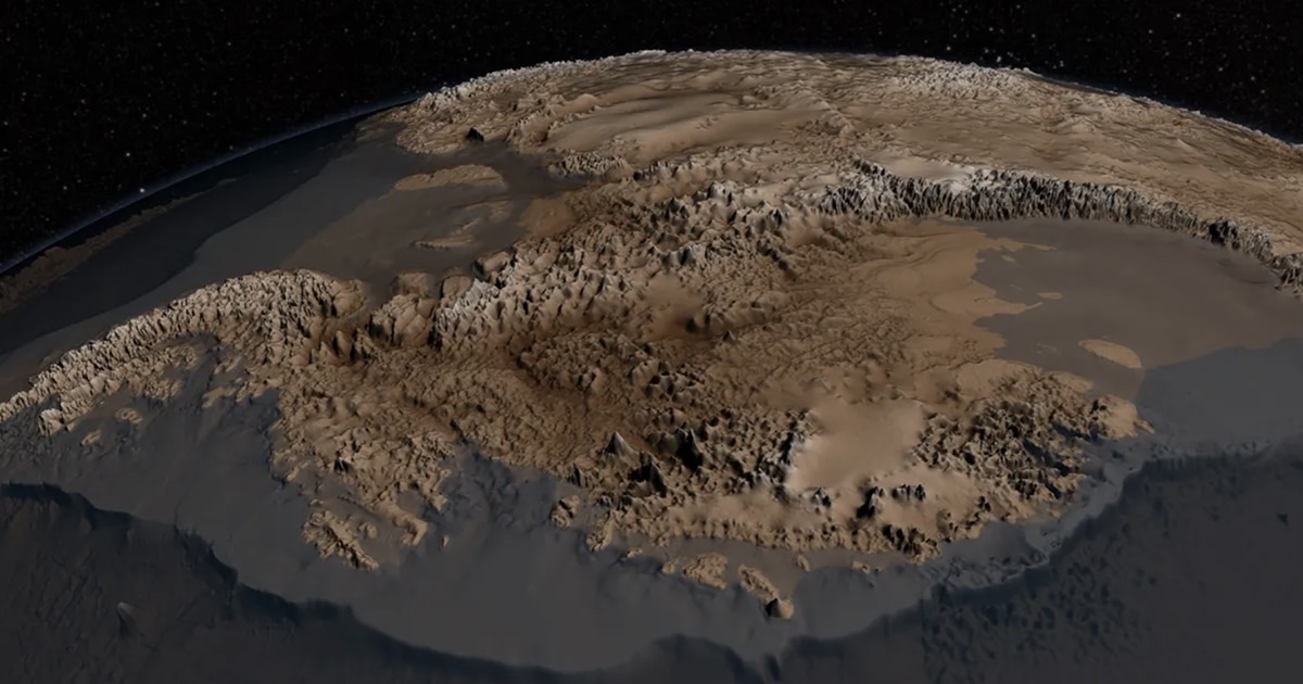
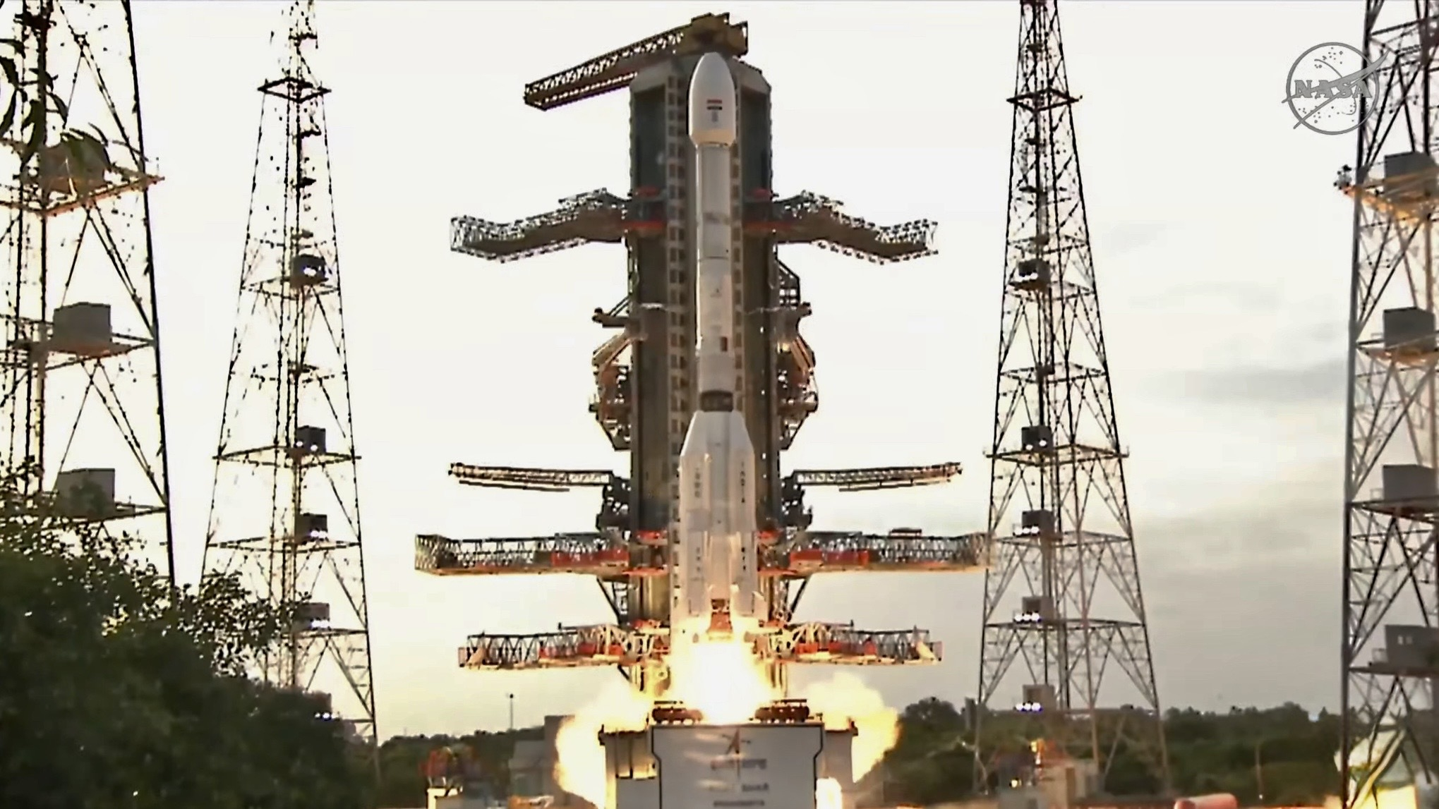
The US and India launched the NISAR satellite, a highly advanced radar Earth observation tool capable of detecting minute surface changes, which will monitor natural hazards, ice sheet dynamics, and human land use over at least five years, marking a significant collaboration in space technology.
Scientists have detected plasma bubbles in Earth's ionosphere over Egypt's Pyramids using a new long-range radar system, marking a significant advancement in space weather monitoring that could improve predictions of disruptions to communication and navigation systems worldwide.
A new satellite equipped with advanced radar technology, Biomass, launched from French Guiana, is providing unprecedented insights into remote rainforests and glaciers, helping scientists map forest structures and monitor deforestation and glacier movement more accurately, which is crucial for understanding carbon storage and climate change impacts.
NASA scientists have rediscovered Camp Century, a defunct Cold War-era U.S. military base buried beneath Greenland's ice sheet, using advanced radar technology. Originally built in 1959 as part of Project Iceworm to house nuclear missile launch sites, the base was abandoned in 1967 due to ice instability. The recent radar mapping revealed detailed 3D structures of the base, which lies over 100 feet below the ice surface. This discovery provides insights into the ice sheet's dynamics and potential future exposure of the base's hazardous waste.
NASA scientists, using advanced radar technology aboard a Gulfstream III, have unexpectedly captured detailed images of Camp Century, a Cold War-era military base buried under Greenland's ice sheet. The UAVSAR system provided a new dimensional view of the base's structures, which were originally built in 1959 and abandoned in 1967. This discovery, while not the primary goal of the mission, highlights the potential of UAVSAR for mapping ice sheets and understanding their thickness, crucial for predicting future sea level rise.
China has unveiled a new radar system for forecasting space weather, claiming significant technological breakthroughs. The system, part of the second phase of China's Meridian Project, consists of high-frequency radars in Jilin, Inner Mongolia, and Xinjiang, and can detect ionospheric irregularities over a vast area. This technology aims to enhance long-distance radio communication and monitor space weather disturbances that could affect satellites and spacecraft. China plans to integrate this system with the international SuperDARN network, although the timeline for data sharing remains unclear.
Researchers have used radar and other technologies to study a large star dune in eastern Morocco, uncovering details about its formation and development. The study, led by British researchers, used radar to examine the dune's structure and luminescence dating to estimate its age. The star dune is estimated to be about 13,000 years old and is moving at a rate of about 50 centimeters a year. Star dunes make up just 10 percent of all dunes in Earth's deserts and have also been observed on Mars and Saturn's moon Titan.
The Ukrainian air force has reportedly converted its old S-200 surface-to-air missile systems into powerful ground-attack weapons by potentially replacing the nose-mounted radar of the 5V28 boost-glide rocket with a new seeker, possibly from the Grom-2 surface-to-surface missile. With a modern seeker and a heavier warhead, the 5V28 becomes a potent deep-strike weapon with a range of around 250 miles. The missile has already demonstrated its capability by narrowly missing a Russian bomber base and destroying an industrial site in Russia. Despite Russian claims of intercepting the 5V28, there are doubts about the evidence provided. The missile's high speed makes it difficult to intercept, and even the best air-defense systems would struggle to hit it.
Researchers at Ecole Normale Supérieure de Lyon have developed a quantum radar that outperforms classical radar technology by 20%. The radar utilizes correlations between microwave radiations to detect the presence or absence of a target hidden in microwave noise. The microwave quantum radar demonstrated a quantum advantage in radar sensing, achieving faster radar detection compared to classical radars. The researchers believe that their work could inspire the development of similar microwave quantum radars with even greater quantum advantage in the future.
NASA's Bedmap2, a detailed topographical model of the bedrock landscape underneath icy Antarctica, created using radar technology and detailed data collection of 25 million measurements, provides insight into a changing world and helps scientists understand how melting ice would flow toward the sea. The shape of the rock bed is particularly important for calculating how climate change will impact Antarctica and the world, as 6.4 million cubic miles of ice could create a 190-foot sea-level rise. Researchers are already at work on Bedmap3 to help further understand our coldest continent in a changing world.