ESA's Biomass Satellite Unveils First Stunning Images of Earth's Rainforests and Extreme Environments
TL;DR Summary
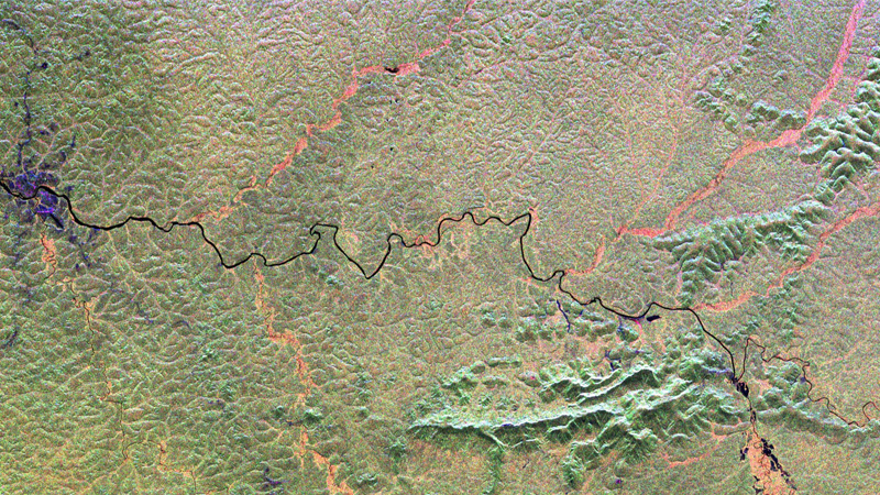
A new satellite equipped with advanced radar technology, Biomass, launched from French Guiana, is providing unprecedented insights into remote rainforests and glaciers, helping scientists map forest structures and monitor deforestation and glacier movement more accurately, which is crucial for understanding carbon storage and climate change impacts.
Topics:science#climate-change#deforestation#radar-technology#rainforests#satellite#science-and-technology
- Beneath the canopy: Pioneering satellite reveals rainforests' hidden worlds BBC
- Biomass satellite returns striking first images of forests and more European Space Agency
- 'Nothing short of spectacular': ESA's Biomass satellite releases 1st views of Earth from orbit (photos) Space
- Biomass satellite mission sends first images of Earth's most extreme environments Earth.com
- Biomass satellite sends 1st images of Earth's extreme environments | Biomass carries P-band synthetic aperture radar | Inshorts Inshorts
Reading Insights
Total Reads
0
Unique Readers
8
Time Saved
1 min
vs 2 min read
Condensed
85%
303 → 46 words
Want the full story? Read the original article
Read on BBC