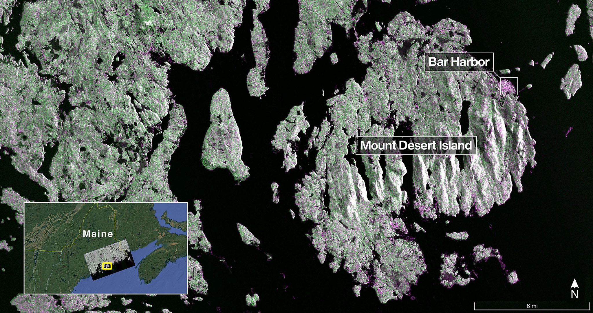
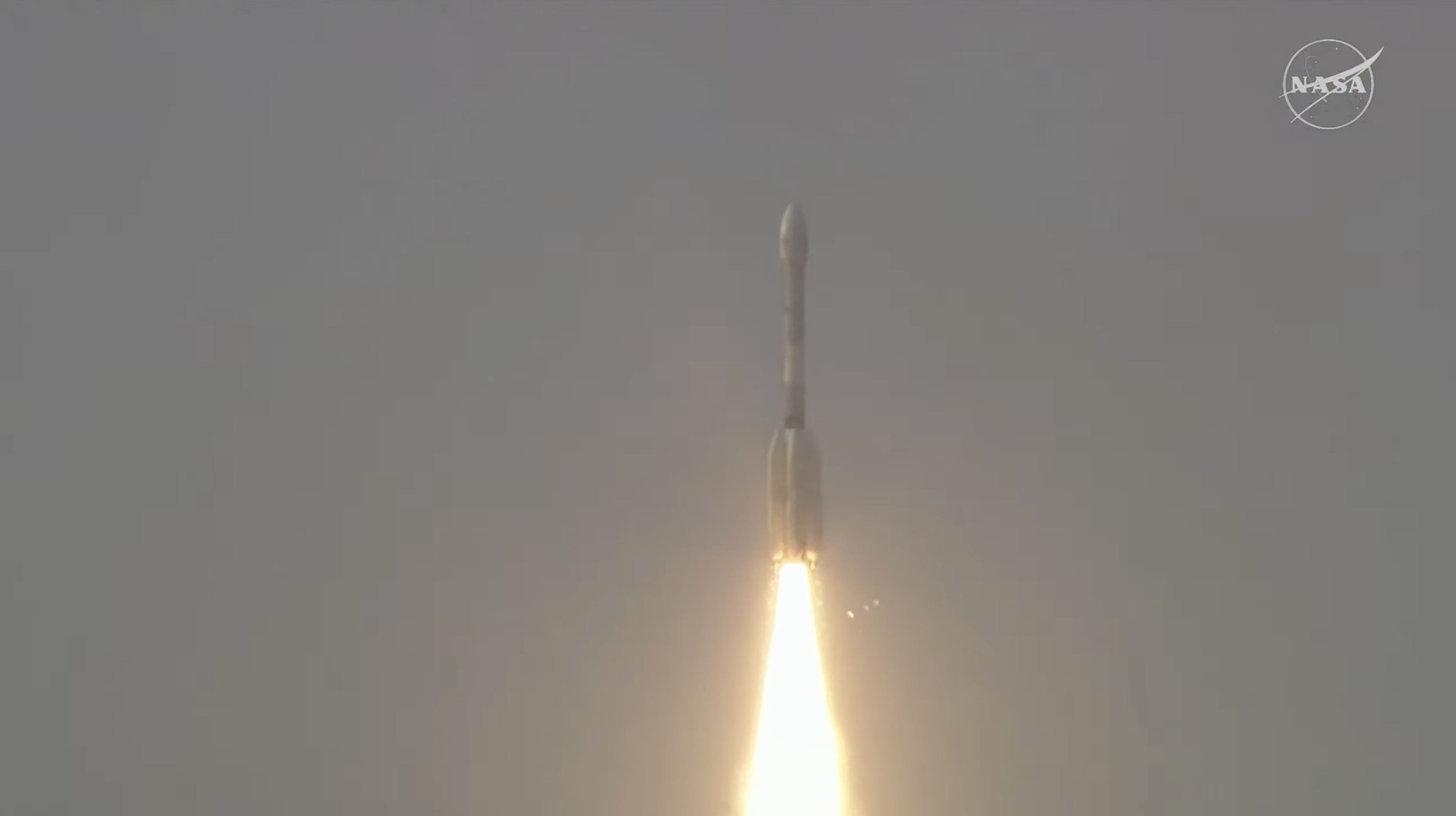
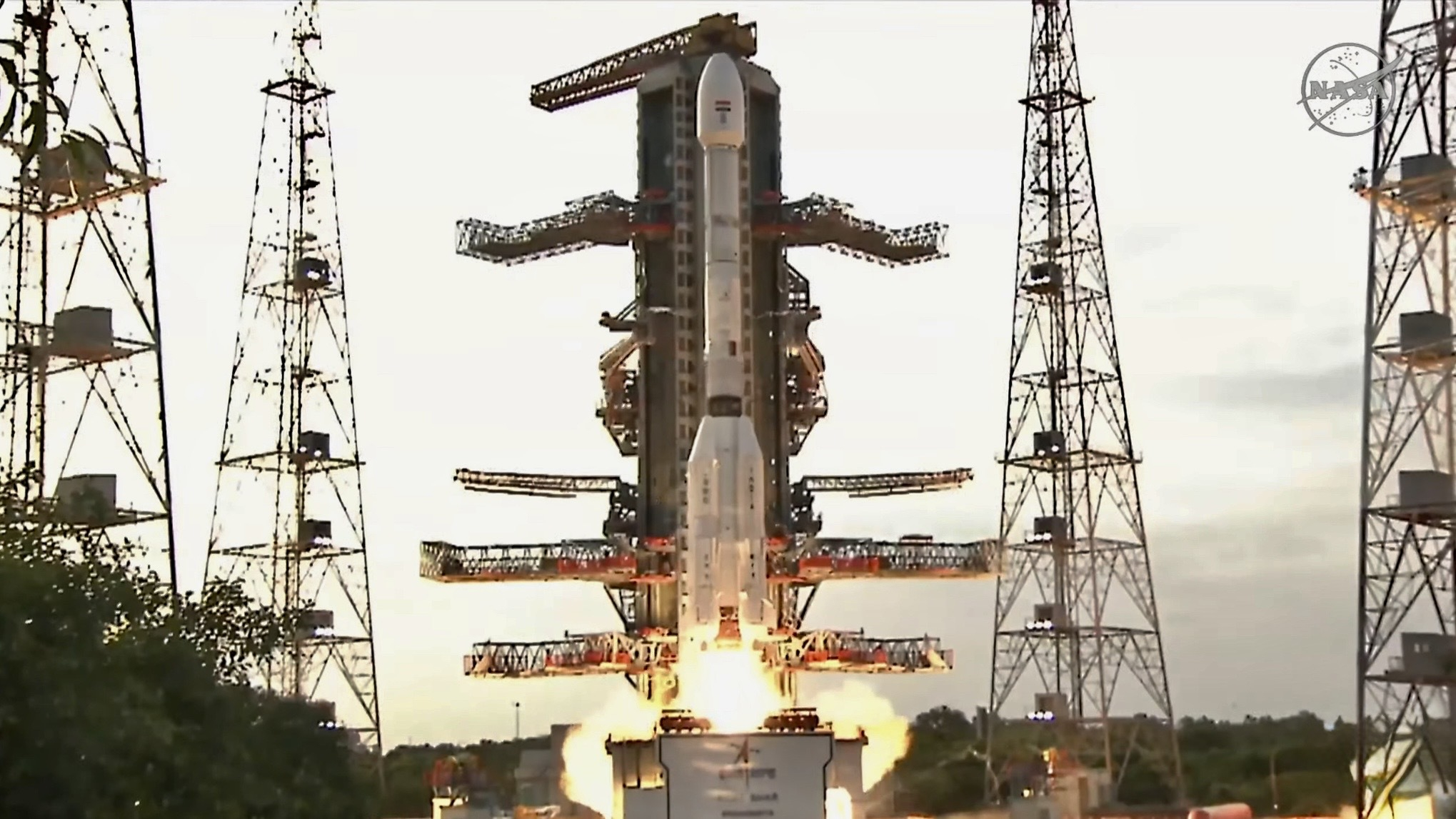
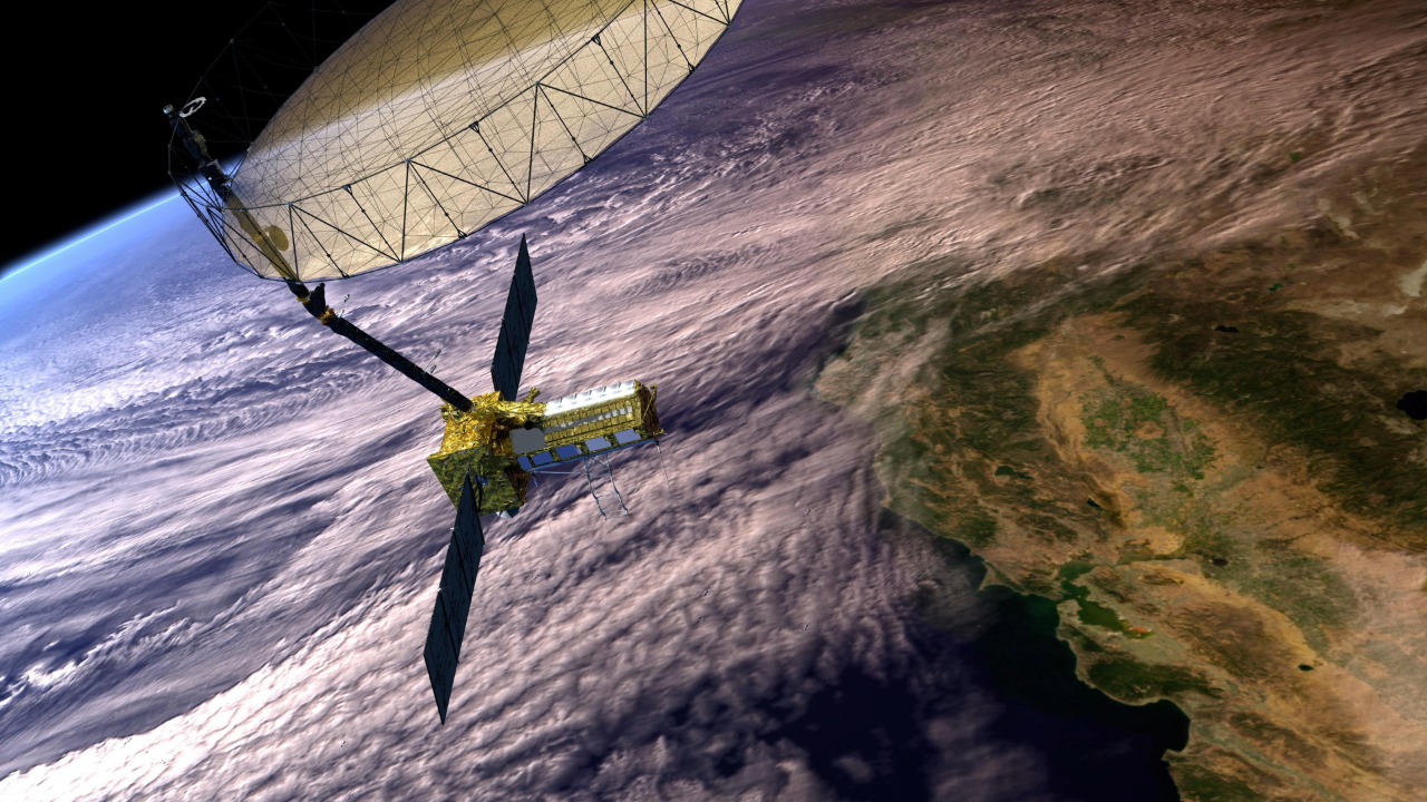
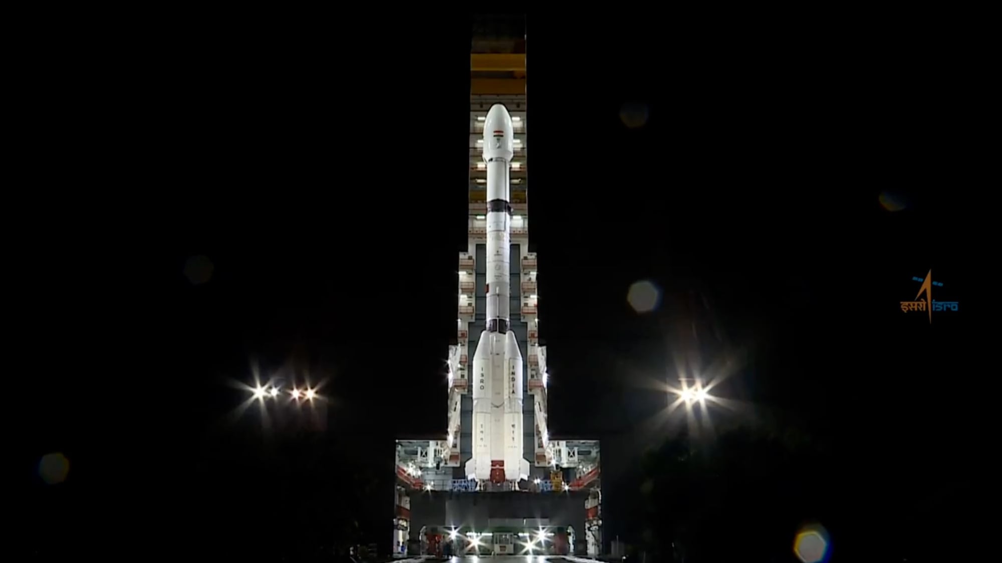
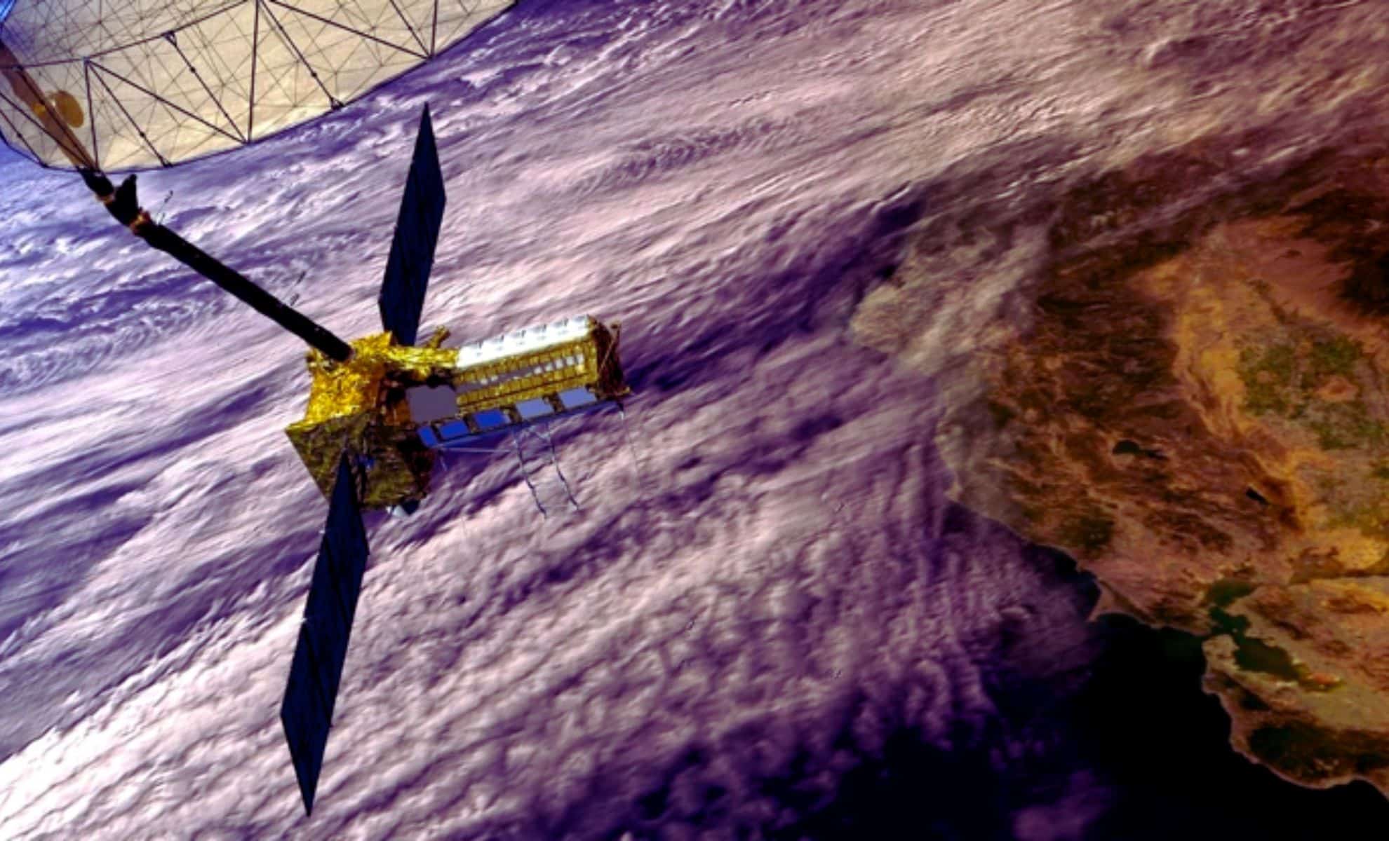
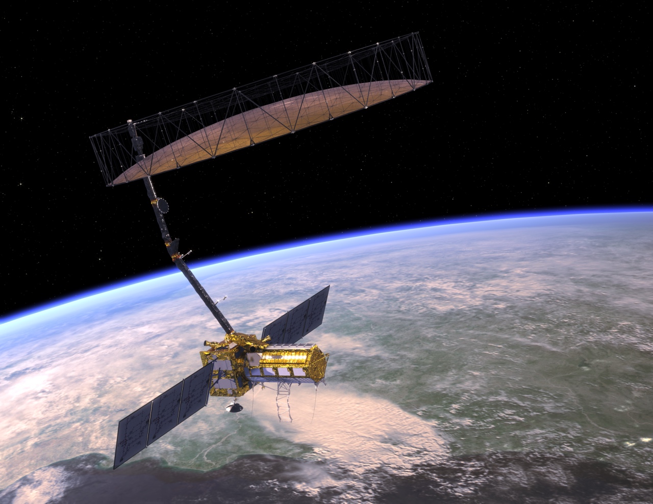
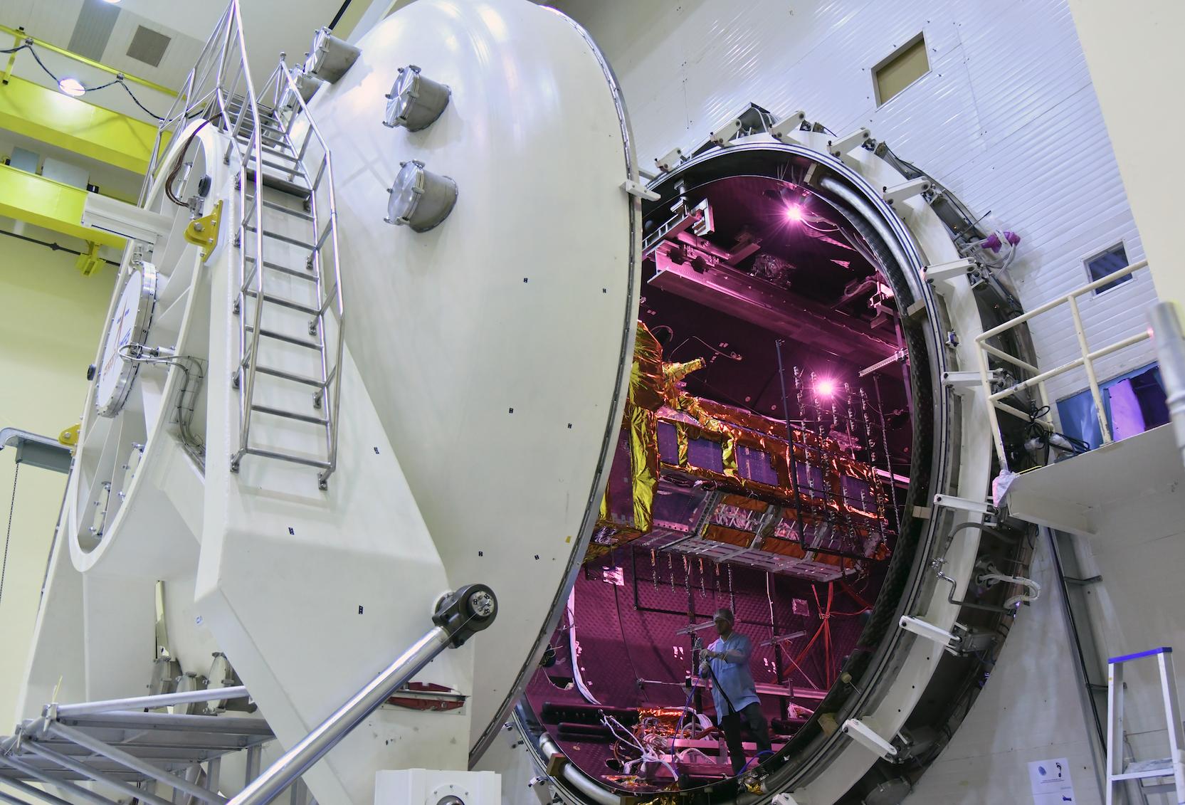
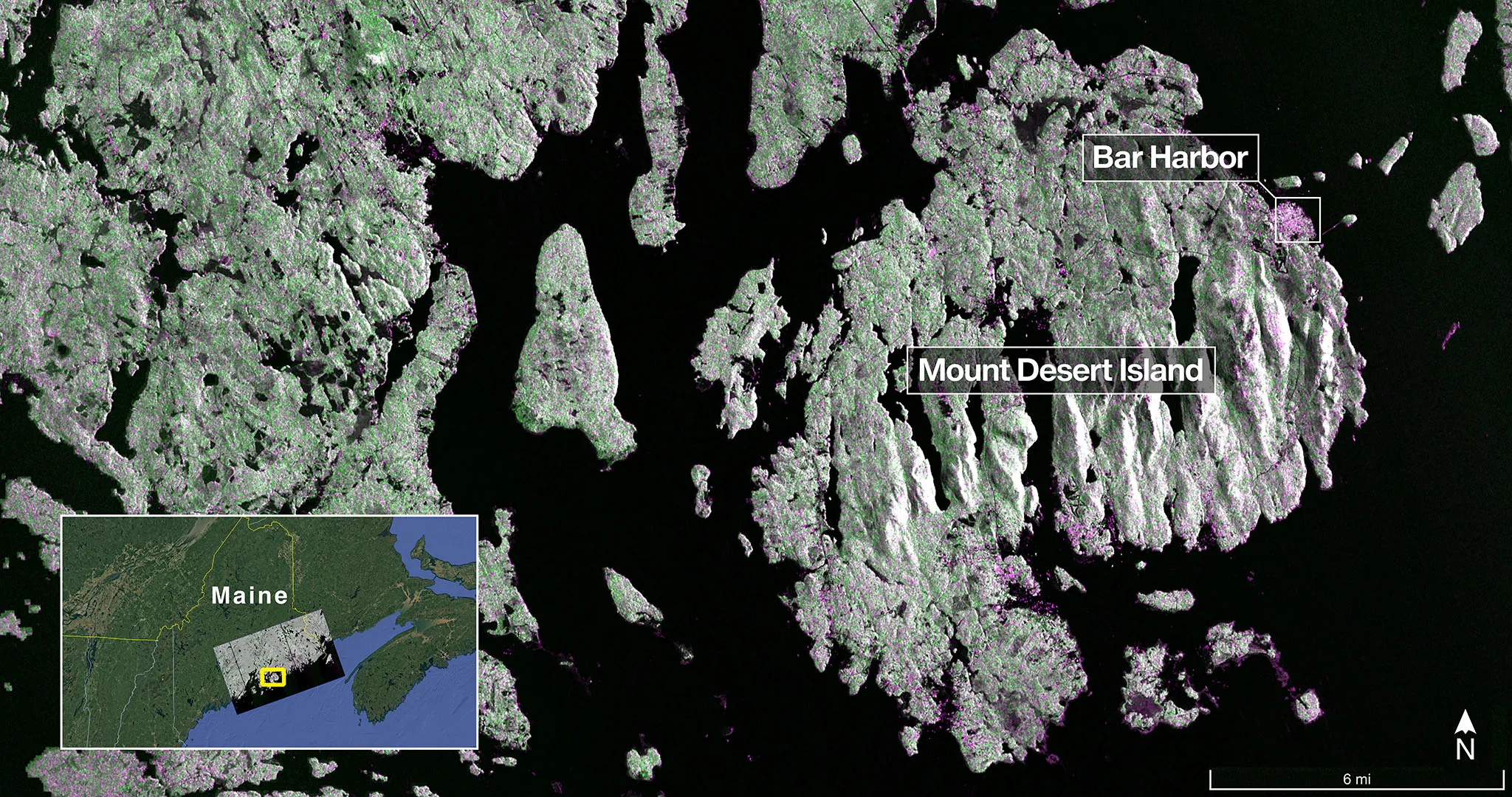
NASA and ISRO's joint NISAR satellite has captured its first detailed radar images of Earth's surface, demonstrating its capabilities in monitoring land and ice surfaces for applications like disaster response and environmental management, with full science operations expected later this year.
A new satellite, NISAR, launched by NASA and ISRO, successfully deployed its record-breaking 39-foot antenna in orbit, enabling high-resolution 3D imaging of Earth's surface to monitor changes with unprecedented detail, with science operations expected to begin in late fall.
The NISAR satellite, a collaboration between NASA and ISRO, successfully deployed its giant 39-foot radar antenna reflector in orbit, marking a significant milestone. This advanced radar system will monitor Earth's surface changes, aiding in disaster response, climate research, and ecosystem management, with the deployment enabling high-resolution imaging crucial for scientific and practical applications.
The NASA-ISRO NISAR satellite, equipped with advanced radar systems to monitor Earth's surface changes, was successfully launched from India, marking a significant international collaboration to enhance understanding of Earth's dynamic land and ice surfaces for disaster response, environmental monitoring, and scientific research.
The US and India launched the NISAR satellite, a highly advanced radar Earth observation tool capable of detecting minute surface changes, which will monitor natural hazards, ice sheet dynamics, and human land use over at least five years, marking a significant collaboration in space technology.
NASA and ISRO launched the NISAR satellite, a groundbreaking joint mission equipped with dual radar systems to monitor Earth's surface with high precision, aiming to improve disaster response and understanding of natural phenomena.
A joint NASA and ISRO project is set to launch the advanced Earth-observing satellite NISAR on July 30 using India's GSLV Mk II rocket, aiming to monitor land, ice, and ocean changes with high precision to aid natural hazard prediction and resource management.
India's ISRO has prepared the U.S.-Indian NISAR Earth-observing satellite for launch on July 30, a joint NASA-ISRO project that will study Earth's land, ice, and oceans using synthetic aperture radar from orbit, aiming to improve understanding of land deformation, ecosystems, and oceanic regions.
NASA and India's ISRO are launching the $1.5 billion NISAR satellite in 2025, equipped with advanced SAR technology to provide unprecedented, weather-independent, high-resolution monitoring of Earth's surface, aiding in climate change research, disaster management, and agriculture.
The launch of the joint U.S.-Indian radar spacecraft NISAR will likely be delayed to the second half of the year due to the addition of a reflective coating on its large deployable antenna, which is necessary to protect it from higher-than-anticipated temperatures in its stowed configuration during flight. This delay will allow for the application of the coating and shipping of the antenna from India to California and back. NISAR represents a significant collaboration between NASA and ISRO, with NASA alone investing over $1 billion in the mission's development.
The launch readiness date of the Nasa-Isro Synthetic Aperture Radar (Nisar) satellite will be determined at the end of April, with a key component being returned to the US for additional coating to mitigate potential temperature issues. The reflector, a crucial part of the satellite, will be sent to California for the application of a special coating to limit temperature increases. Once the coating's thermal performance is verified, a launch readiness date will be set, and the reflector will be integrated onto the satellite in India. Nisar is a collaborative Earth-observing mission between Nasa and Isro, aiming to provide powerful measurements of Earth's evolving surface.
The joint NASA-ISRO NISAR satellite, a trailblazing Earth-observing radar satellite, has successfully completed a 21-day thermal vacuum test in Bengaluru, India. The test evaluated the satellite's ability to function in extreme temperatures and the vacuum of space. Scheduled to launch in early 2024, NISAR will monitor the motion of Earth's land and ice, track dynamic changes in forests and agricultural lands, and observe movements from earthquakes and volcanic activity. This collaboration between NASA and ISRO marks the first time the two agencies have cooperated on hardware development for an Earth-observing mission.
NASA and the Indian Space Research Organisation (ISRO) are collaborating on the development of the NASA-ISRO Synthetic Aperture Radar (NISAR) satellite, set to launch in 2024. NISAR will continuously scan Earth's surface using radar, with a focus on tracking changes in landscapes over time. The satellite will observe Earth's forests and wetlands, crucial carbon sinks that play a role in mitigating climate change. NISAR aims to provide a comprehensive view of how Earth's land and ice are changing, helping scientists better understand carbon sources and sinks from terrestrial ecosystems.
The NASA-ISRO NISAR radar satellite mission, set to launch in early 2024, will provide detailed insights into forests and wetlands, crucial ecosystems for regulating greenhouse gases and combating climate change. By scanning Earth's land and ice surfaces every 12 days, NISAR will track changes in forest density and wetland flooding, helping researchers understand the capture and release of carbon. The data collected will improve our understanding of deforestation's impact on the carbon cycle and aid in the management of wetland ecosystems. NISAR will also monitor land motion, earthquakes, volcanic eruptions, and the melting of glaciers and sea ice.