Tag

Wind Shear

All articles tagged with #wind shear

"FAA Investigates Southwest Airlines for Near Collision with LaGuardia Control Tower"

Originally Published 1 year ago — by View from the Wing

Featured image for "FAA Investigates Southwest Airlines for Near Collision with LaGuardia Control Tower"
Source: View from the Wing

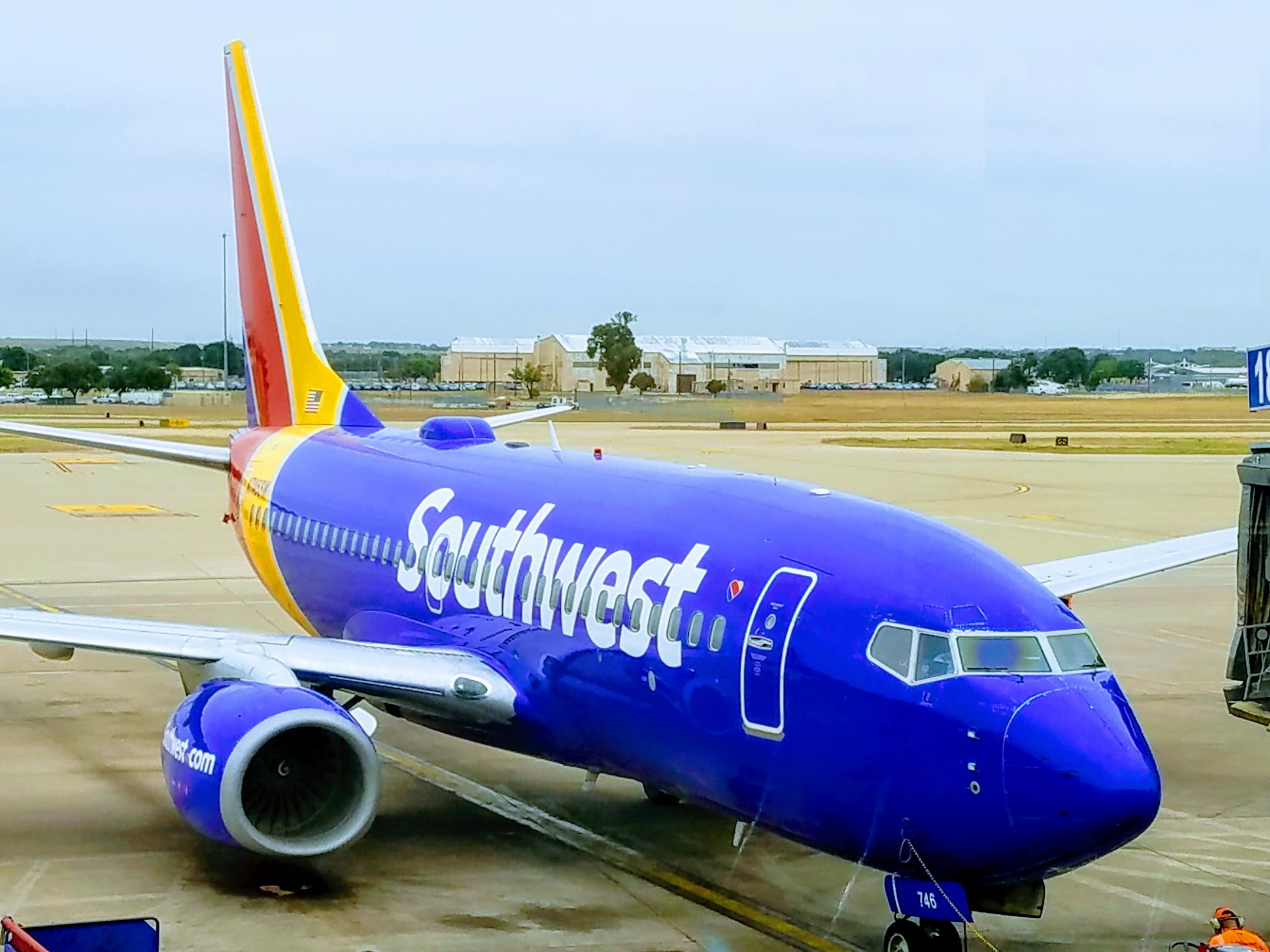
A Southwest Airlines flight from Nashville to LaGuardia narrowly avoided colliding with the airport's control tower, coming within 67 feet, after encountering severe weather and executing multiple go-arounds. The FAA is investigating the incident to determine the cause of the aircraft's erratic flight pattern, with a focus on potential wind shear effects. Southwest Airlines is conducting a thorough review to enhance safety measures and prevent similar occurrences in the future.

United Airlines Flight Diverted Due to Wind Shear, Injuring Dozens

Originally Published 1 year ago — by Daily Mail

Featured image for United Airlines Flight Diverted Due to Wind Shear, Injuring Dozens
Source: Daily Mail

A United Airlines Boeing 787 flight from Tel Aviv to Newark was forced to divert to New York Stewart International Airport due to extreme turbulence caused by wind shear, injuring 22 passengers and prompting the pilot to declare an emergency due to fuel concerns. Seven passengers were taken to the hospital, and 15 were treated on site for injuries. The flight eventually refueled and continued to Newark, with speculation that attempting a second landing at Newark may have depleted the plane's fuel tanks.

"Warning: Severe Storms Could Bring Isolated Tornado Risk"

Originally Published 1 year ago — by MLive.com

Featured image for "Warning: Severe Storms Could Bring Isolated Tornado Risk"
Source: MLive.com

The Storm Prediction Center has outlined a marginal risk of severe thunderstorms in southern Michigan on Thursday, with a 2% chance of an isolated tornado along I-94 and southward. Additionally, there is a 5% chance of isolated severe wind gusts and hail extending northward to Grand Rapids, Lansing, and Oakland County. While the author is not extremely concerned about a widespread severe weather outbreak, they caution to keep a close eye on weather information due to the unpredictable nature of warm fronts.

"Middle Georgia Braces for Severe Weather Threat as Potent Storm System Approaches"

Originally Published 2 years ago — by wgxa.tv

Featured image for "Middle Georgia Braces for Severe Weather Threat as Potent Storm System Approaches"
Source: wgxa.tv

A dynamic storm system is expected to bring heavy rainfall and the threat of strong and severe storms to Middle Georgia on Tuesday, prompting the issuance of the first Weather Warn Day of 2024. The Storm Prediction Center has placed most of Middle Georgia at a Level 2 risk of severe storms. Strong storms with damaging wind gusts and the possibility of tornadoes are anticipated, along with 1-3 inches of rainfall that could lead to localized flooding. Residents are advised to stay updated on the evolving severe weather threat through various media channels.

"Devastating December Tornado Outbreak Strikes Tennessee, Leaving Death and Destruction in its Wake"

Originally Published 2 years ago — by NBC News

Featured image for "Devastating December Tornado Outbreak Strikes Tennessee, Leaving Death and Destruction in its Wake"
Source: NBC News

A tornado outbreak over the weekend marked the third consecutive December with deadly tornadoes in the United States. The outbreak, which killed six people and caused widespread damage, was fueled by strong wind shear and warmer-than-average temperatures. Climate change may be increasing the likelihood of tornadoes during traditionally cooler months. The National Weather Service confirmed multiple tornadoes, including an EF3 tornado with winds of 150 mph. This trend of December tornado outbreaks highlights the need for continued research and preparedness in the face of changing weather patterns.

Tracking Tropical Disturbances: Philippe's Struggles and Another System Brewing off Africa

Originally Published 2 years ago — by South Florida Sun Sentinel

Featured image for Tracking Tropical Disturbances: Philippe's Struggles and Another System Brewing off Africa
Source: South Florida Sun Sentinel

Tropical Storm Philippe is moving west towards the eastern Caribbean but is expected to weaken due to increasing wind shear. Meanwhile, a tropical depression is likely to form off Africa and follow Philippe. The system off Africa has a 90% chance of developing within seven days. So far this hurricane season, there have been 16 named storms, including three major hurricanes.

"Tropical Storm Philippe Strengthens in the Atlantic, Joining Two Other Systems"

Originally Published 2 years ago — by The New York Times

Featured image for "Tropical Storm Philippe Strengthens in the Atlantic, Joining Two Other Systems"
Source: The New York Times

Tropical Storm Philippe formed in the Atlantic, becoming the latest named storm of the 2023 Atlantic hurricane season. As of Sunday evening, the storm had sustained winds of 50 miles per hour and was located about 1,225 miles from the Cabo Verde Islands. There were no watches, warnings, or threats to land related to Philippe. Forecasters described the storm as "very difficult" to forecast in terms of intensity, but little change in strength is expected over the next three days. Philippe is projected to move west-northwest.

Potential Tropical System Threatens Gulf Coast: Expert Analysis and Forecast

Originally Published 2 years ago — by NBC 6 South Florida

Featured image for Potential Tropical System Threatens Gulf Coast: Expert Analysis and Forecast
Source: NBC 6 South Florida

The National Hurricane Center predicts that a tropical system named Idalia may form in the Gulf of Mexico by early next week. Currently, there is a broad area of spin around low pressure north of Honduras, but several meteorological factors need to come together for the storm to be named. The presence of an upper-level low pressure system in the northeastern Gulf of Mexico could provide the conditions for the system to strengthen. However, wind shear may limit its development. South Florida may experience indirect effects such as deep moisture and distant spiral bands, leading to a wet and breezy start to next week.

Potential Tropical System Brewing in the Gulf of Mexico

Originally Published 2 years ago — by The Weather Channel

Featured image for Potential Tropical System Brewing in the Gulf of Mexico
Source: The Weather Channel

An area of low pressure in the northwest Caribbean or eastern Gulf of Mexico could potentially develop into a tropical depression or storm this weekend into early next week. If a system forms, it is likely to track towards Florida, although the impacts are uncertain. Wind shear is currently high, hindering tropical development, but conditions may become more favorable in the coming days. Floridians are advised to stay updated on the forecast changes and review their preparation plans as we enter the peak of hurricane season.

"Atlantic Basin Braces for Multiple Tropical Disturbances, Gulf of Mexico at Risk"

Originally Published 2 years ago — by NBC 6 South Florida

Featured image for "Atlantic Basin Braces for Multiple Tropical Disturbances, Gulf of Mexico at Risk"
Source: NBC 6 South Florida

After a period of calm, the Atlantic has become crowded with several tropical disturbances. The chances of these disturbances developing into tropical storms vary, with one likely to stay in the open Atlantic and another expected to veer into the northern Atlantic. A third disturbance may produce squalls across the West Indies, while a low pressure system in the eastern Bahamas could potentially become a rainmaker for Florida. Experts are concerned about the unusually warm waters in the Atlantic, Caribbean, and Gulf of Mexico, as well as the presence of strong wind shear, which could limit the development of these systems. The ongoing El Niño is expected to contribute to the wind shear, but its impact on the Atlantic remains uncertain.

Tropical Storms Cindy and Bret Hit Caribbean in Historic June Pair.

Originally Published 2 years ago — by Palm Beach Post

Featured image for Tropical Storms Cindy and Bret Hit Caribbean in Historic June Pair.
Source: Palm Beach Post

Tropical Storm Cindy is expected to strengthen but remain below hurricane strength as it moves over open waters in the Atlantic basin. After 48 hours, Cindy is expected to weaken due to wind shear and dry air. The storm is not likely to impact land as it remains well north of the Greater Antilles. Excessive rainfall is forecasted.

Tropical wave off Africa has high chance of development.

Originally Published 2 years ago — by NBC 6 South Florida

Featured image for Tropical wave off Africa has high chance of development.
Source: NBC 6 South Florida

Unusually warm sea surface temperatures and favorable wind conditions in the Atlantic are leading computer models to predict the formation of a tropical storm or hurricane in the region earlier than usual, with the National Hurricane Center giving the disturbance a medium chance of forming by next week. However, the chance of the system tracking towards the Caribbean, Bahamas, or the US is low due to weaker trade winds and the influence of a dip in the jet stream over the western Atlantic Ocean.

El Niño's Arrival and Its Impact on Weather and Climate.

Originally Published 2 years ago — by WKMG News 6 & ClickOrlando

Featured image for El Niño's Arrival and Its Impact on Weather and Climate.
Source: WKMG News 6 & ClickOrlando

The National Oceanic and Atmospheric Administration has officially declared the presence of El Niño, a natural climate phenomenon marked by warmer-than-average sea surface temperatures in the central and eastern Pacific Ocean near the equator. For hurricane season, the Atlantic basin tends to see a less-active year in terms of the number of storms due to increased wind shear during El Niño. However, the extremely warm Atlantic basin provides higher-than-normal uncertainty as to how the season will play out.

Tropical Storm Arlene weakens to remnant low, while Tropical Depression #2 brings rain to Florida.

Originally Published 2 years ago — by WDSU New Orleans

Featured image for Tropical Storm Arlene weakens to remnant low, while Tropical Depression #2 brings rain to Florida.
Source: WDSU New Orleans

Tropical Storm Arlene, the first named storm of the 2023 Hurricane Season, is expected to weaken into a tropical depression and become a remnant low soon. It is not a threat to Louisiana and there are no watches or warnings in effect. The storm is dealing with dry air and wind shear, which are not conducive for further development. The biggest threat for this system is locally heavy rain for portions of the southern Florida Peninsula.