France’s Carrier Strike Group Departs for ORION 26 in the Atlantic
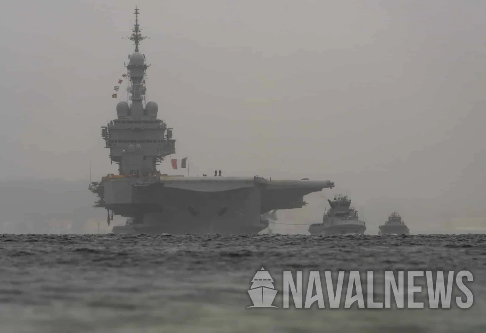
The French Navy’s nuclear-powered carrier strike group, centered on the aircraft carrier Charles de Gaulle, set sail from Toulon to participate in ORION 26, a joint high-intensity exercise in the Atlantic. While exact CSG composition wasn’t officially published, observers saw the Alsace (D652), Chevalier Paul (D621), Italian Andrea Doria (D553), and the BRF Jacques Chevallier (A725) departing, with a focus on air defense and a submarine likely to be part of the group. ORION 26 will span the coming weeks and involve 24 countries, testing France’s ability to conduct high‑intensity operations in a joint and combined environment, against a backdrop of European security tensions and France’s leadership of the coalition.