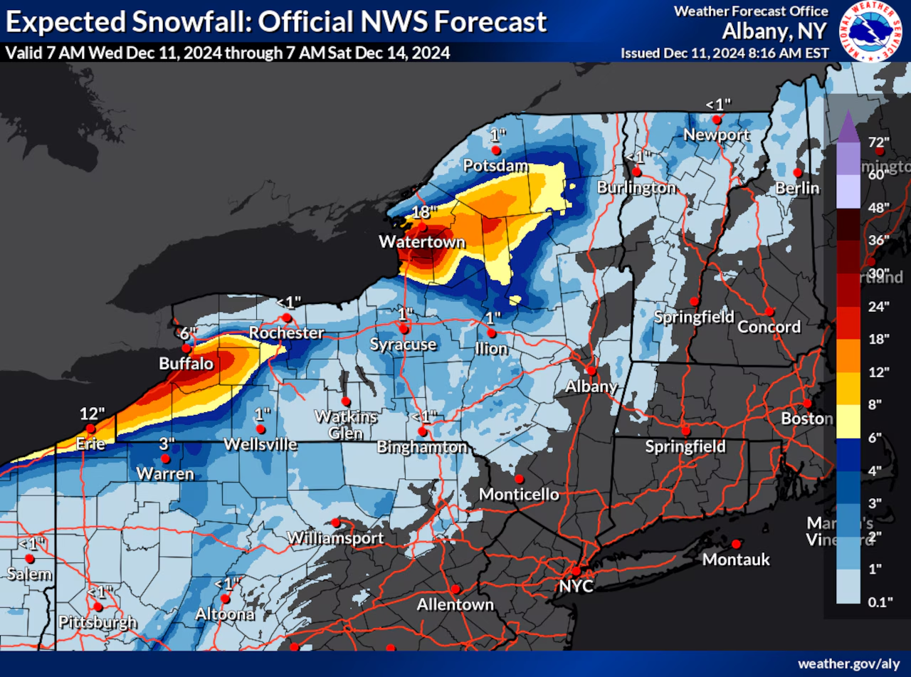
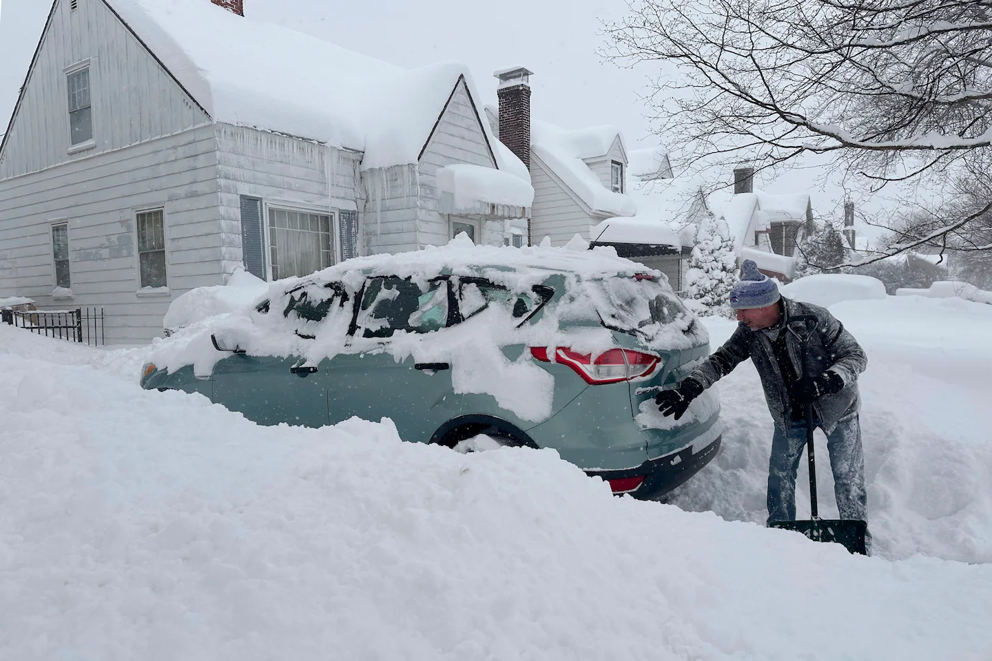
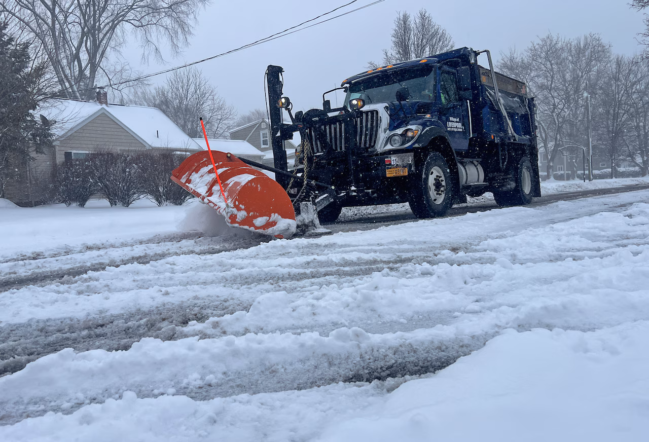
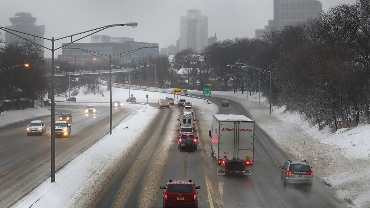
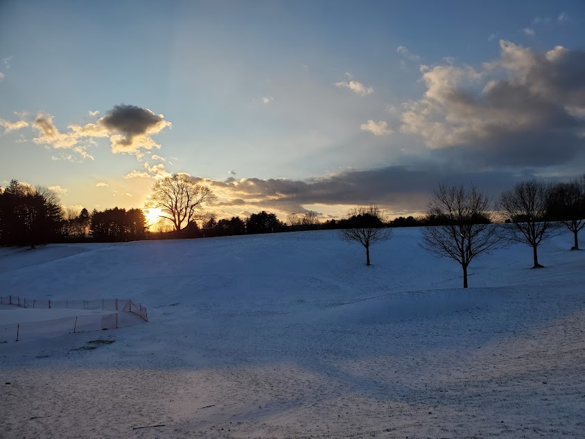
Ithaca experienced its coldest December since 2000, with ongoing cold, snow, and storm systems bringing rain, snow, and strong winds into the New Year, along with significant icing and lake effect snow, with a gradual warming trend expected in early January.
A severe storm system is expected to impact Southeast Michigan with heavy rain, damaging winds, snow squalls, and rapid temperature drops, leading to hazardous travel and power outages, especially on Monday. Residents are advised to prepare for strong winds, icy roads, and rapidly changing conditions, with ongoing cold weather into the New Year.
A strong storm system in California is easing but still poses risks of mudslides, flooding, high surf, and avalanches, prompting evacuations and emergency responses across the state.
A major weather shift is expected in Massachusetts on Friday, bringing heavy rain, strong southerly winds peaking between 40-60 mph, and a significant reduction in snow cover due to rain and wind, with potential for scattered wind damage and localized flooding. Temperatures will rise into the upper 50s, and the rain will clear by late afternoon, with a chance of light snow around Christmas.
A complex storm system is expected to impact New Jersey on Wednesday and Thursday, bringing 1 to 3 inches of rain, wind gusts up to 50 mph, and potential minor flooding, with gusty winds continuing through Halloween.
A final storm system is bringing heavy rain and flash flood risks to Minnesota, especially the southern regions and Twin Cities, with potential for life-threatening flooding, road closures, and a challenging morning commute due to ongoing storms and saturated ground.
A powerful storm system is expected to bring intense rainfall and flash floods from New York City to Washington DC, prompting emergency declarations and travel advisories across the region, with potential rainfall of up to 8 inches in some areas.
Heavy rains and storm systems are causing renewed flood risks across Central Texas, including areas previously devastated by deadly floods, with warnings issued for flash flooding and potential additional rainfall into early next week.
Rare early June rainfall is expected in Phoenix and the Southwest due to a storm system off Baja California, bringing a chance of thunderstorms and heavy downpours, which is unusual for this time of year and much needed after a dry winter.
A storm system is expected to bring heavy rains and potential flooding to eastern New York, while cold air and strong winds will generate significant lake effect snow in the Buffalo and Watertown areas. These regions could see over 2 feet of snow, with travel potentially becoming impossible due to high winds. Central New York will experience milder conditions with some rain and snow.
The Thanksgiving holiday will see tens of millions traveling across the U.S., with mostly tranquil weather expected due to high pressure bringing dry, cool conditions. However, a developing storm system will affect parts of the Midwest, Mid-Atlantic, and Northeast, bringing coastal rains and inland snow, particularly impacting travel in these regions. Lake-effect snow is also expected in areas like Upstate New York.
A potential storm system could impact Upstate New York around Thanksgiving, with the possibility of rain or snow on Thursday and Friday, followed by cold air and lake effect snow over the weekend. Meteorologists are uncertain about the storm's path, urging travelers to stay updated. The region could experience its first significant winter temperatures, with highs barely reaching freezing and lows in the low 20s. The Great Lakes' warm, ice-free conditions could enhance lake effect snow if cold winds blow across them.
A slow-moving storm is expected to bring rain and potentially snow to upstate New York later this week, with areas south of Rochester, such as the Bristol Hills and Southern Tier, possibly seeing their first measurable snow. While Rochester may experience some snowflakes, significant accumulation is not anticipated. The forecast remains uncertain as the storm develops, with the Adirondacks potentially receiving a few inches of snow. The region has experienced a mild November, but temperatures are expected to return to normal levels.
A storm system will bring rain and thunderstorms to Michigan from Sunday afternoon through Memorial Day, with southern Lower Michigan expected to dry out by Monday morning while northern Lower Michigan and the Upper Peninsula will experience more persistent showers.
A storm system comprising tornadoes, hail, and damaging winds is moving through the Midwest, prompting the FAA to reroute flights and leaving tens of millions of Americans under severe weather alerts. Tornadoes have been reported in Kansas, Nebraska, and Missouri, with more storms and possible tornadoes expected in Iowa, Illinois, Virginia, Ohio, Kentucky, and Indiana. The system is forecasted to bring severe weather and isolated flash flooding as it tracks further east, with the highest tornado threat in Michigan, Ohio, and Indiana.