Zealandia Declared: Earth's Hidden Eighth Continent Unveiled Beneath the Pacific
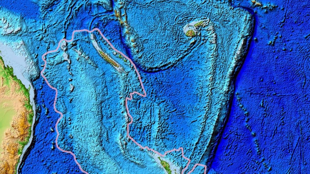
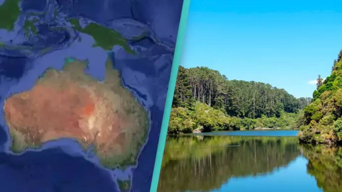
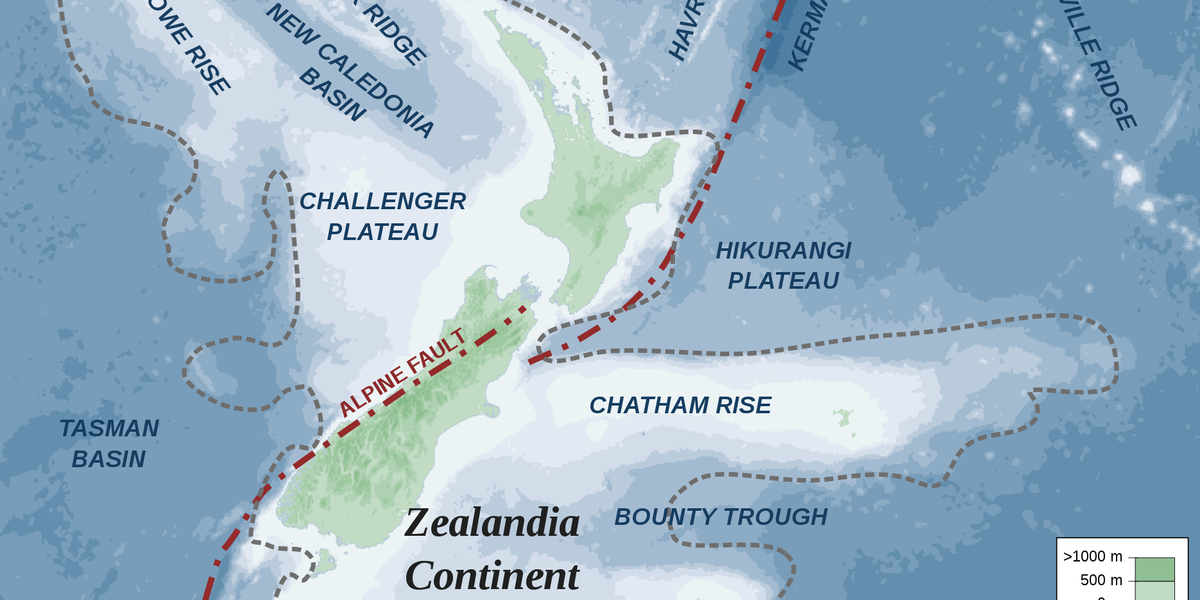
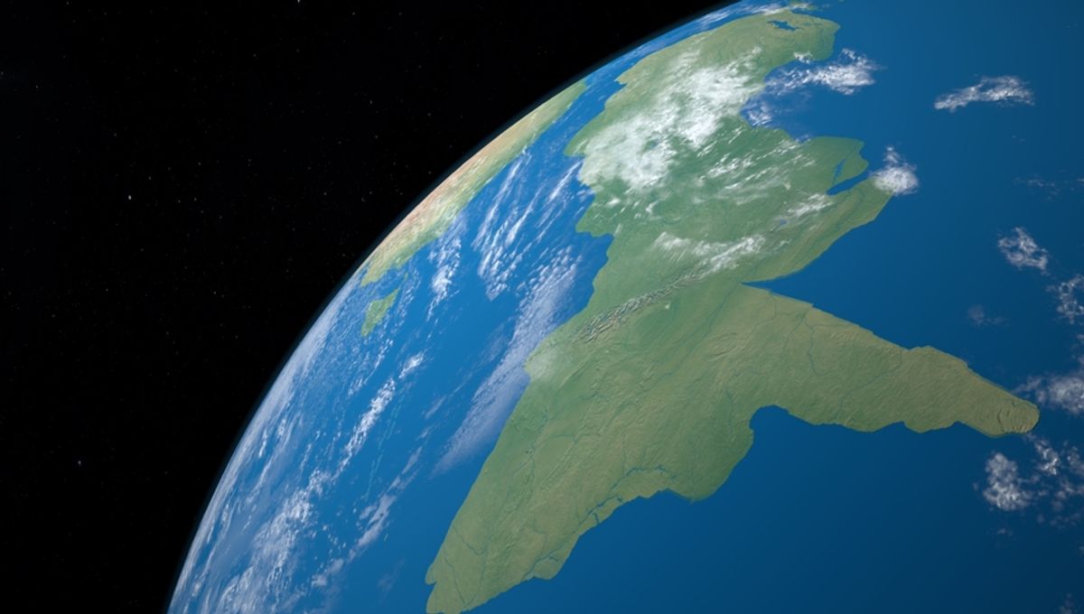
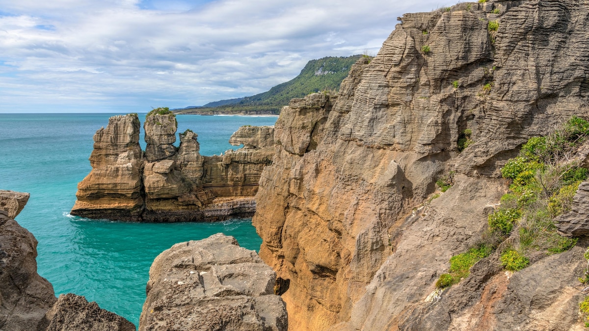
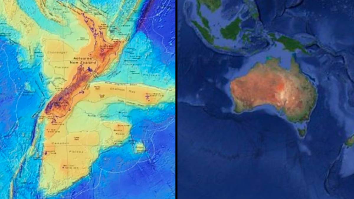
Scientists have formally recognized Zealandia as Earth's eighth continent—spanning about five million square kilometers with more than 94% submerged in the Pacific—after International Ocean Discovery Program drilling and peer‑reviewed studies showing it meets continental criteria (thicker crust, coherent landmass, and ancient terrestrial fossils). This confirmation reshapes our understanding of Earth’s crust and could influence future maritime claims and exploration.