Georgia Braces for Weekend Wintry Mix as Arctic Air Advances
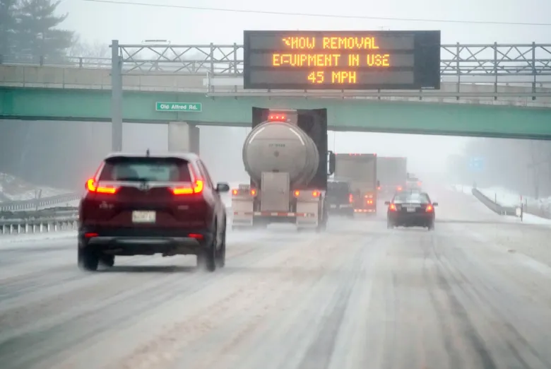
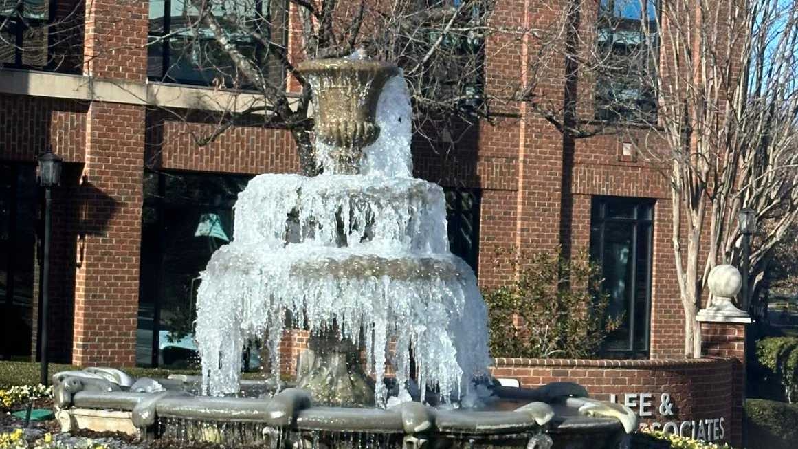
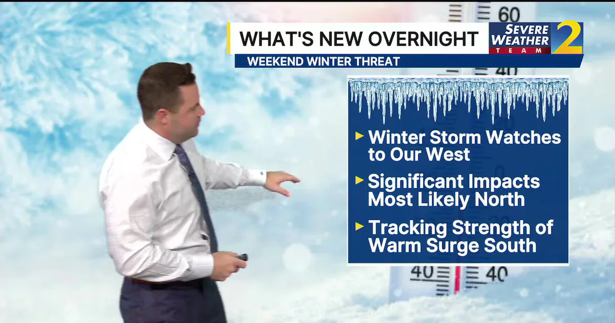
Arctic air moving into Georgia is expected to meet incoming moisture this weekend, setting up a potential wintry mix (freezing rain, sleet, and snow) across the northern portion of the state. Winter storm watches remain to the west, with Georgia not yet under a watch but likely as the system nears. Forecasters say exact amounts and timing aren’t known yet and will firm up 1–3 days before onset, with northern areas bearing the brunt and the south potentially seeing a warmer side. State leaders, including Gov. Kemp, say preparations are underway, including updated brine supplies and improved response plans; residents should prep by sealing gaps, insulating, protecting pipes, and stocking emergency supplies.