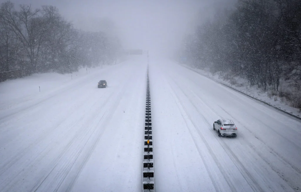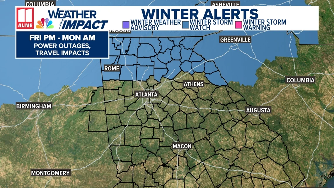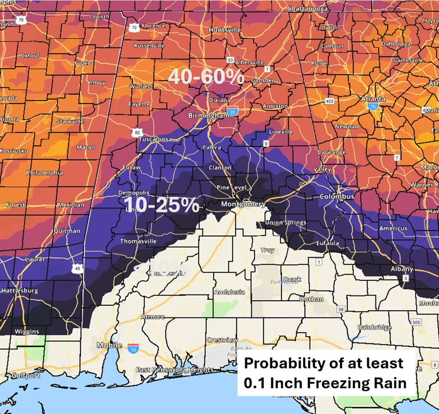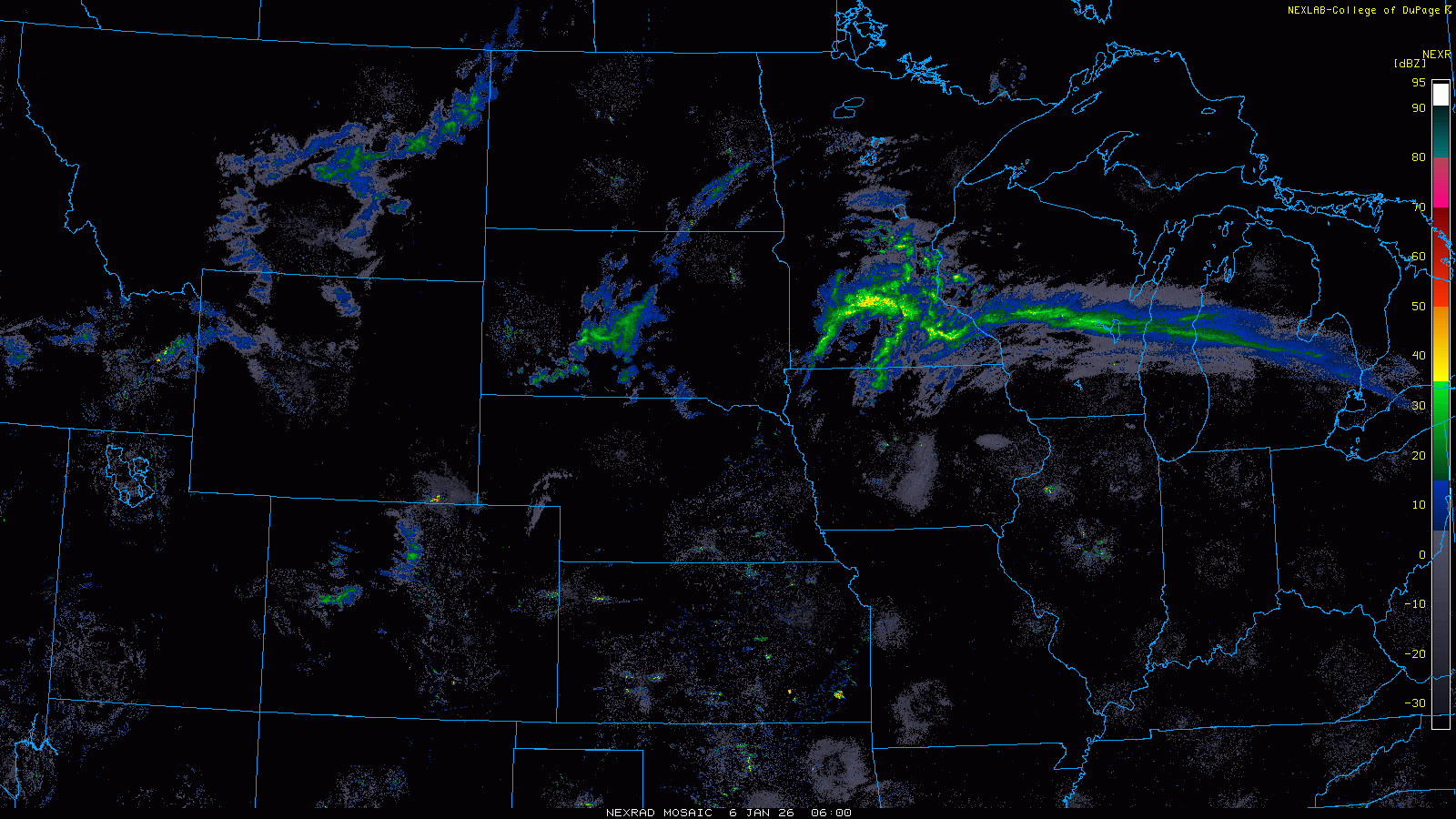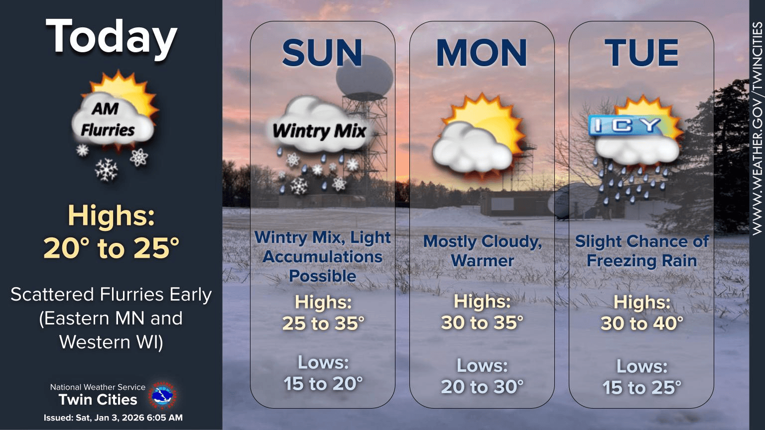
Arctic Winter Storm Grips U.S. Coast to Coast, Shuts Airports and Sparks Outages
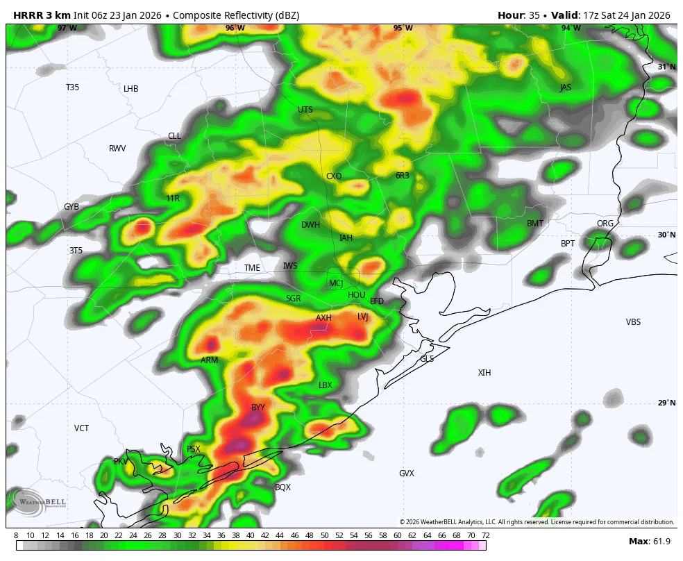
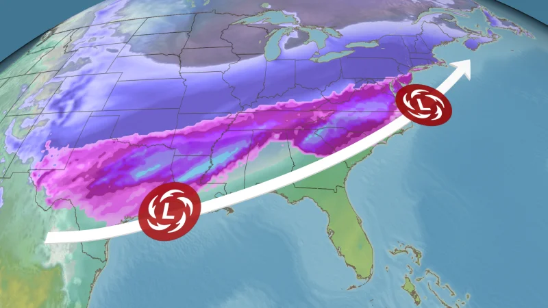
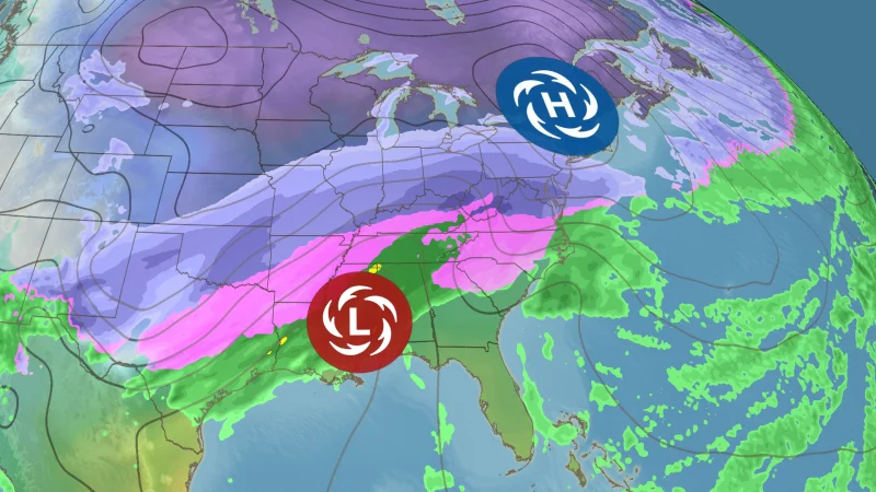
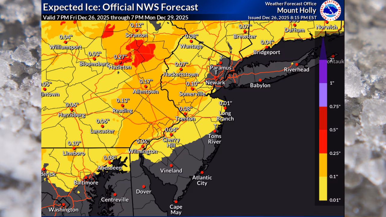
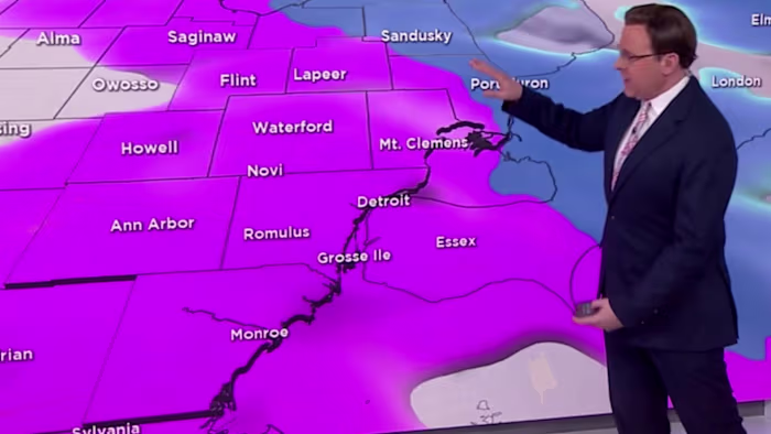
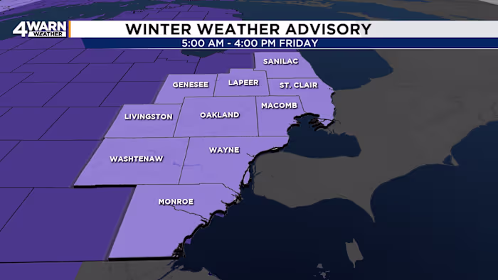
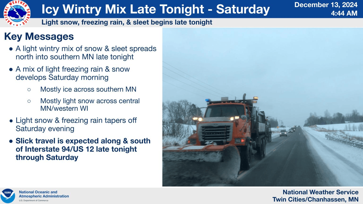
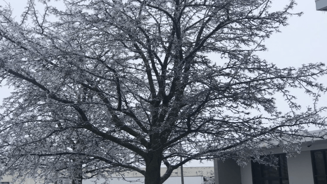
A sprawling winter storm bringing heavy snow, sleet and catastrophic ice accumulation sweeps from the Lower Mississippi Valley to the Northeast, leaving hundreds of thousands without power, canceling more than 11,000 flights and closing major airports like LaGuardia, while prompting federal emergency declarations and widespread travel advisories as subzero cold and dangerous conditions persist into early next week.