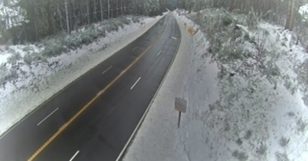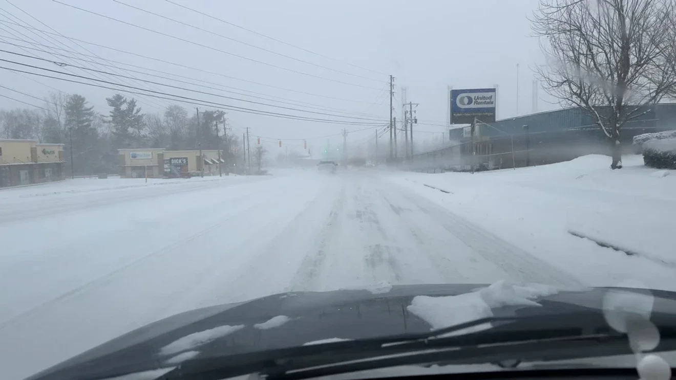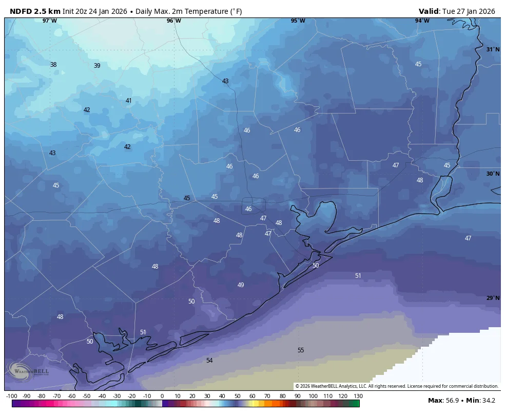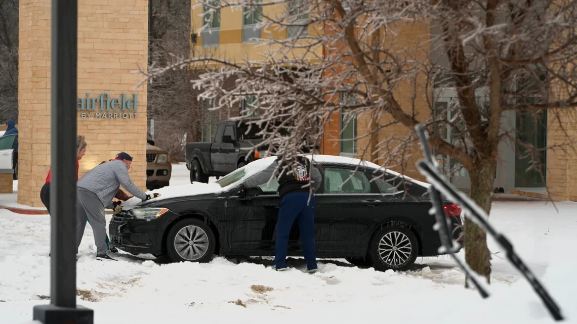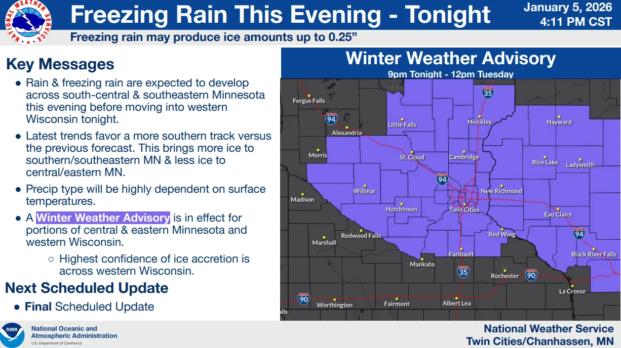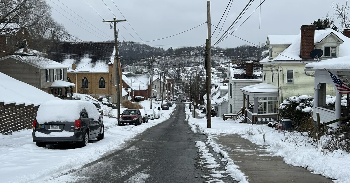
Eastern Iowa Braces for Heavy Snow as Winter Storm Moves In
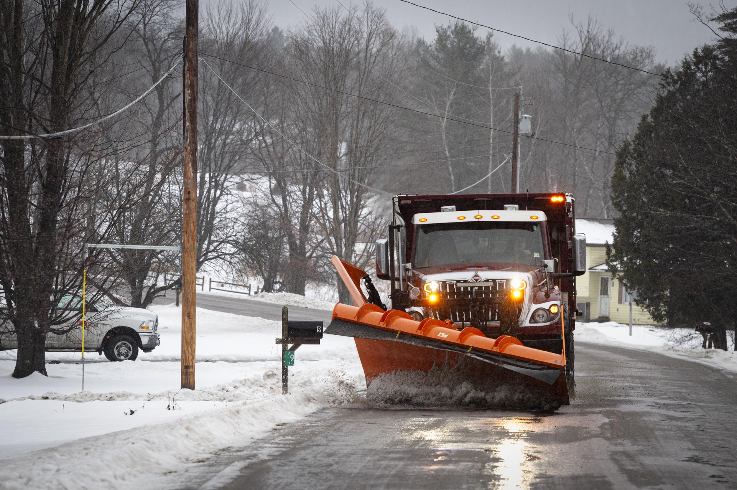
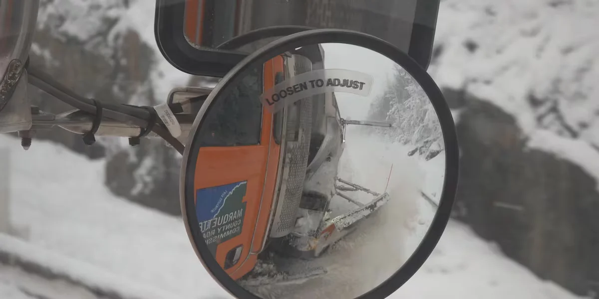
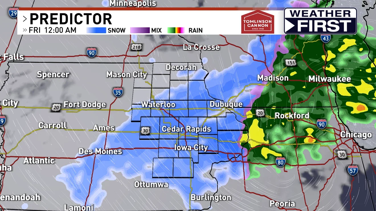
A winter storm is bringing heavy snow to eastern Iowa Thursday evening into Friday morning, with rain turning to snow after 1 p.m. and potential accumulations of 6-8+ inches near the Highway 20 corridor. Winter Storm Warnings and Advisories are in effect from 6 p.m. Thursday to 6 a.m. Friday, bringing gusty winds and slick, snow-covered roads as crews work to clear them.