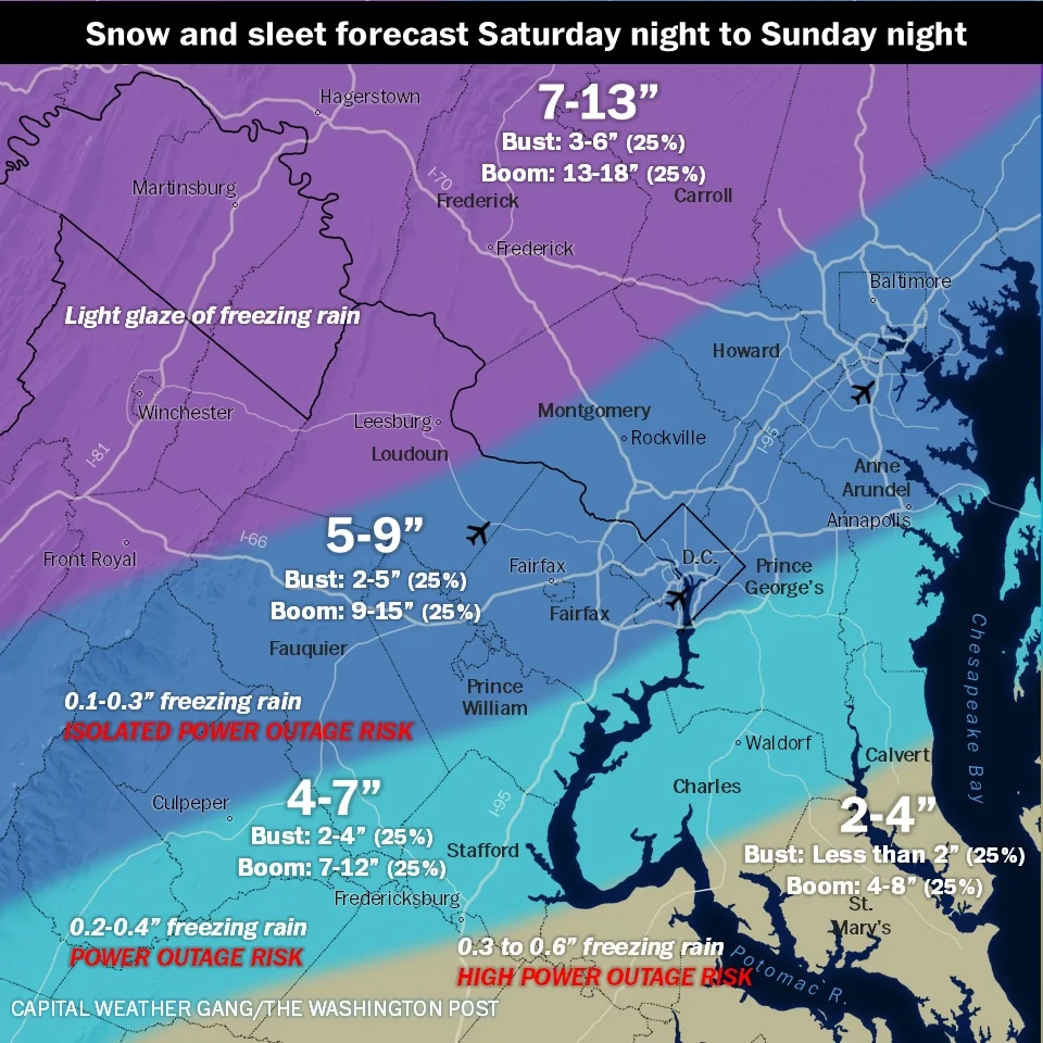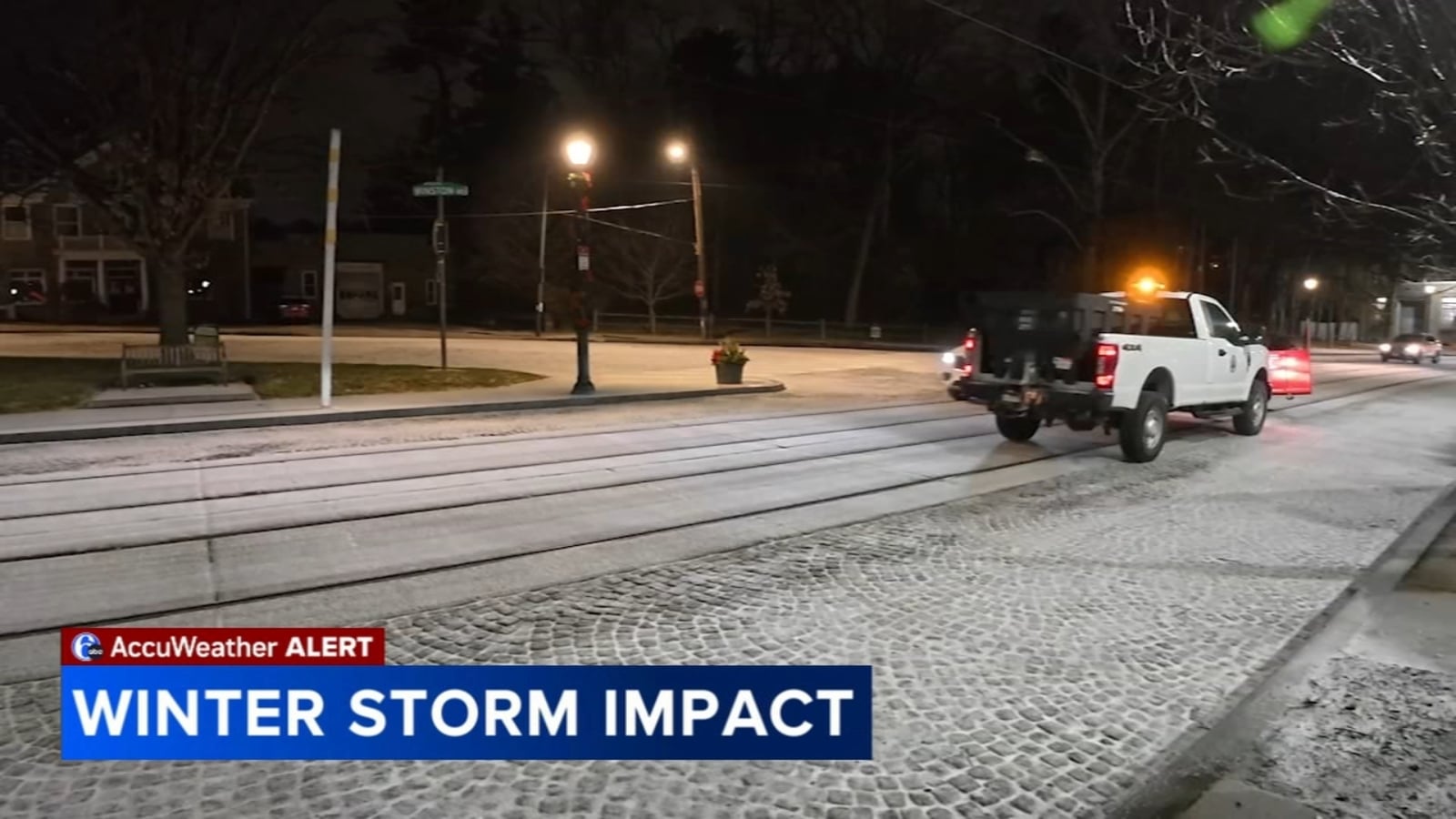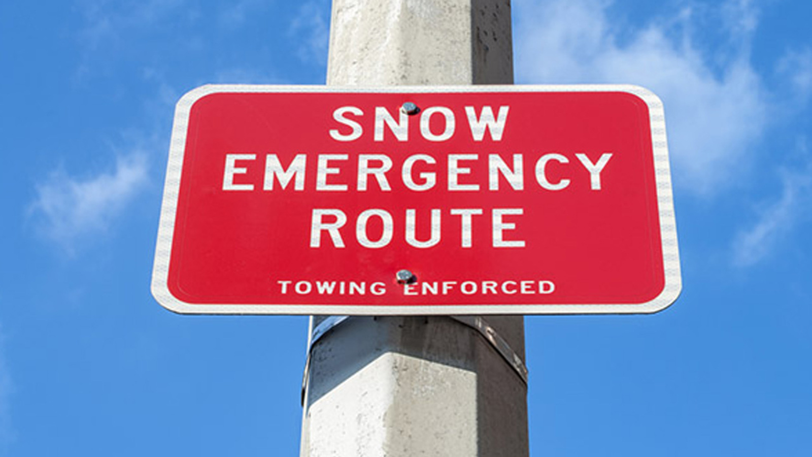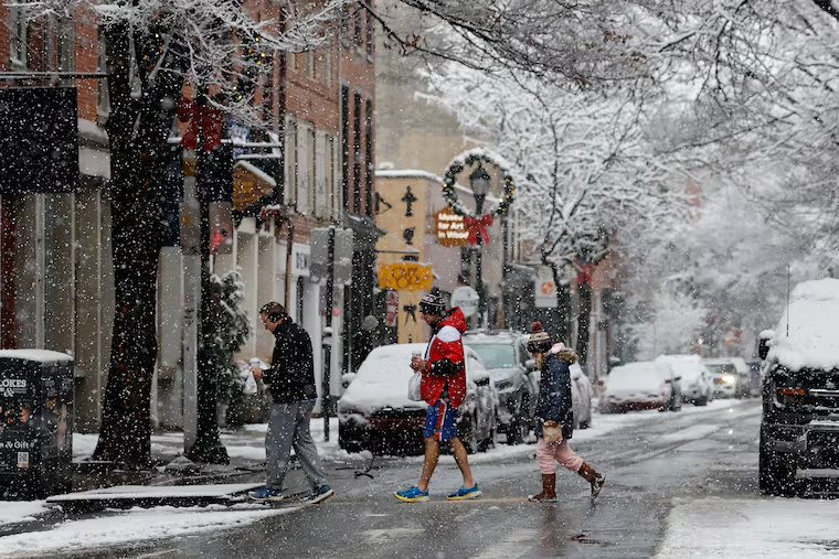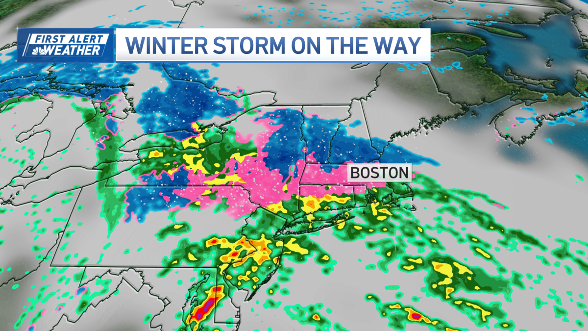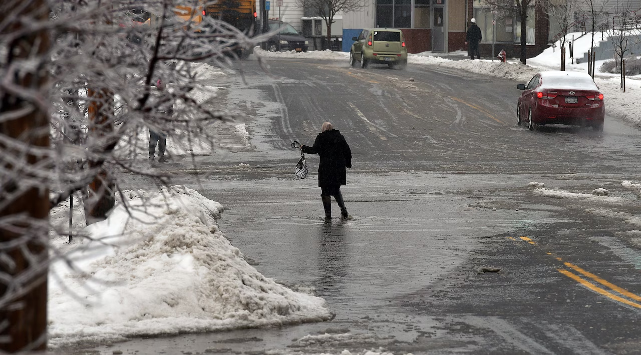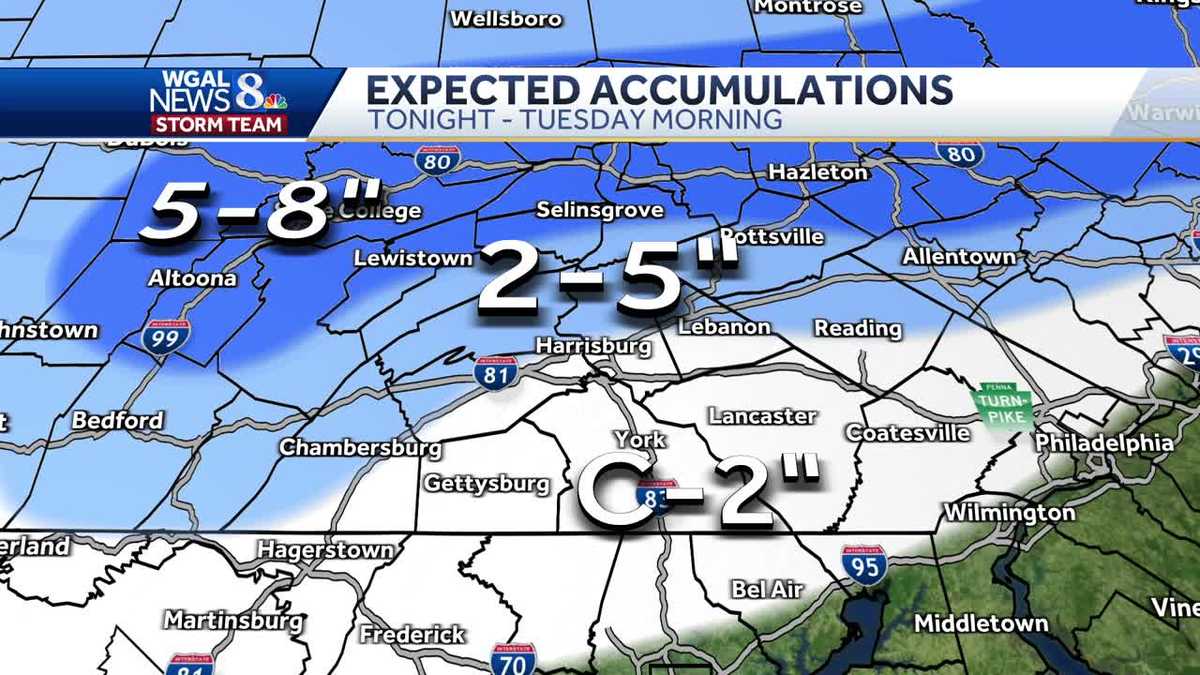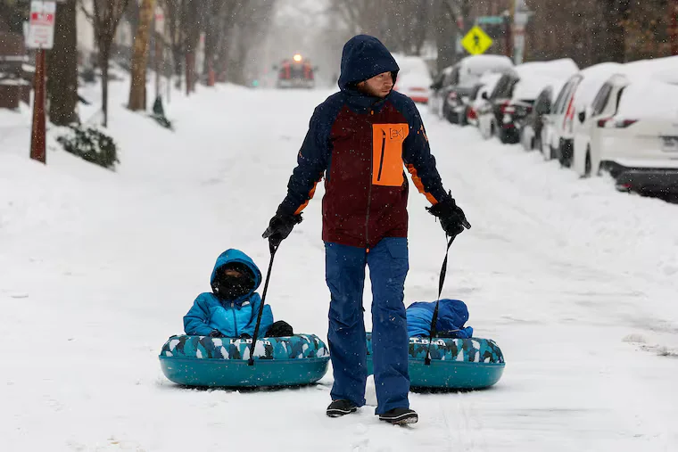
Philly’s biggest snow in five years leaves icy aftermath and travel disruptions
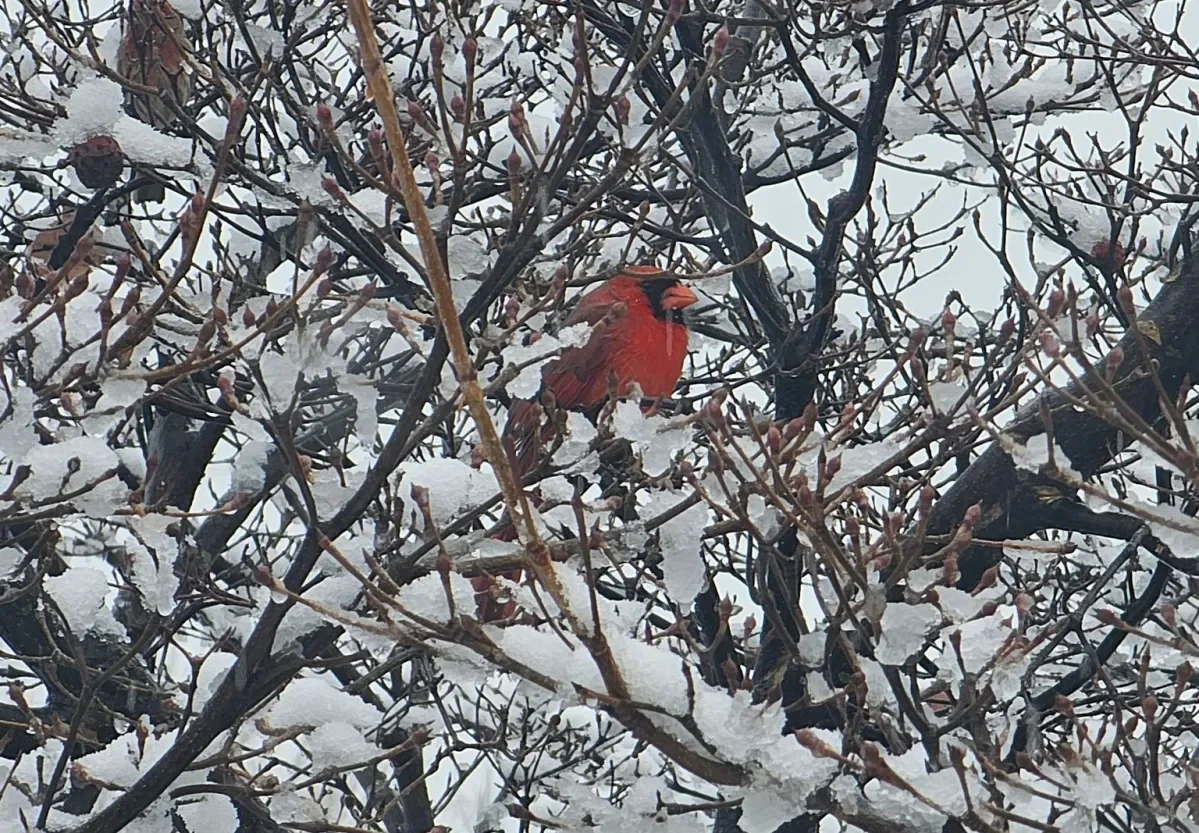
Philadelphia logged its largest snowfall in five years, with sleet and freezing rain weighing down the snowpack and prompting flight cancellations, suspended SEPTA service, and school closures, while forecasters warn of a slow melt and continued cold into the week.