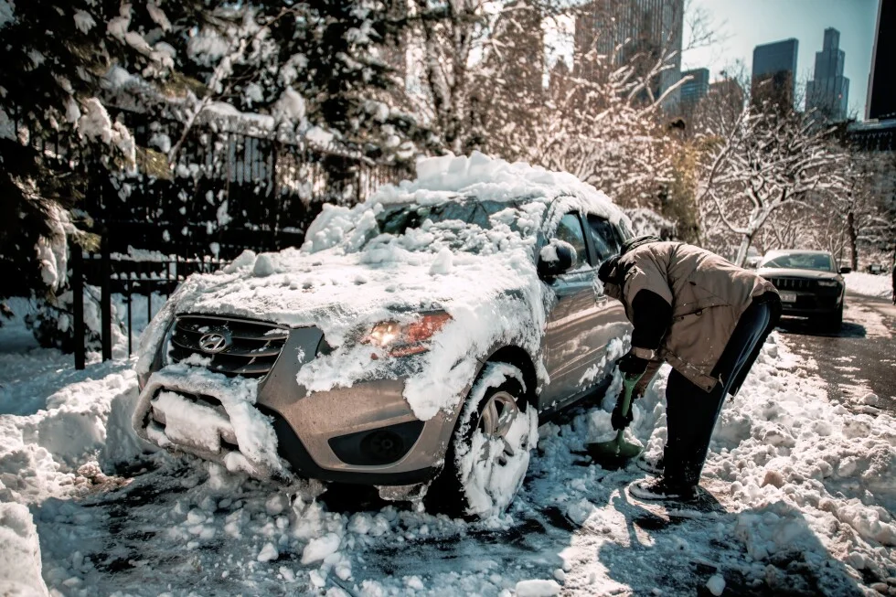
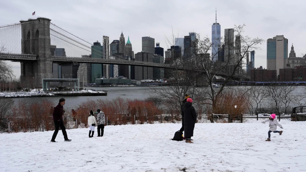
A powerful winter storm blankets the Northeast, billed as the strongest in a decade, with Rhode Island fearing or experiencing about three feet of snow while New York City residents dig out; communities rally to help as cleanup continues and NYC public schools largely conducted a regular day for more than a million students.
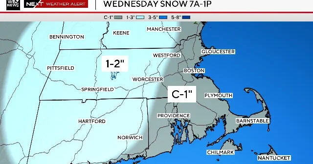
Two chances for light snowfall in the Boston area: a Wednesday morning event expected to last about 4–6 hours with a coating to 1 inch east of Route 495 and 1–2 inches west, with possible rain mixing in along the South Coast; most accumulation should melt by afternoon as sun returns; a small, uncertain chance of a Thursday night flurry if a southern storm brushes by; weekend forecast calls for near 50°F.
WHYY’s photo gallery shows Philadelphia and South Jersey blanketed by a winter storm, with Philly reporting up to 16 inches of snow and some New Jersey towns topping two feet. The images capture residents sledding, building snowmen, and digging out driveways as communities brace for travel disruptions and cold weather.
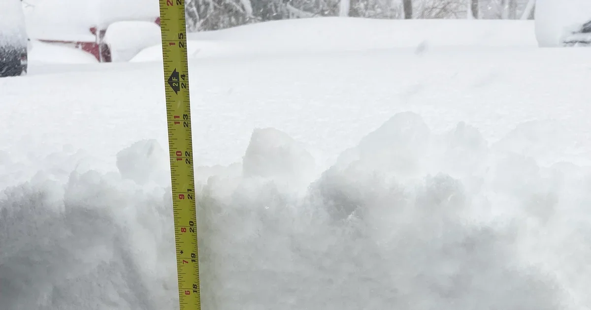
A heavy, wet Blizzard of 2026 dumps significant snowfall across Massachusetts, with Boston around 17 inches by Monday evening and the season total exceeding 60 inches. Southeastern MA bore the brunt, Providence, RI set a 37.9-inch record, and many towns reported 20–36 inches while widespread power outages affected thousands.
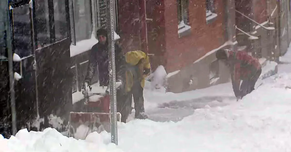
A monster nor'easter unleashes blizzard conditions across Massachusetts, forcing school closures and power outages as heavy snow piles up; already well over a foot in many towns and two feet in some areas, with a town-by-town tally from the National Weather Service showing wide variation; Rhode Island reports a record 32.8 inches at TF Green, and more accumulations are expected before the storm winds down.
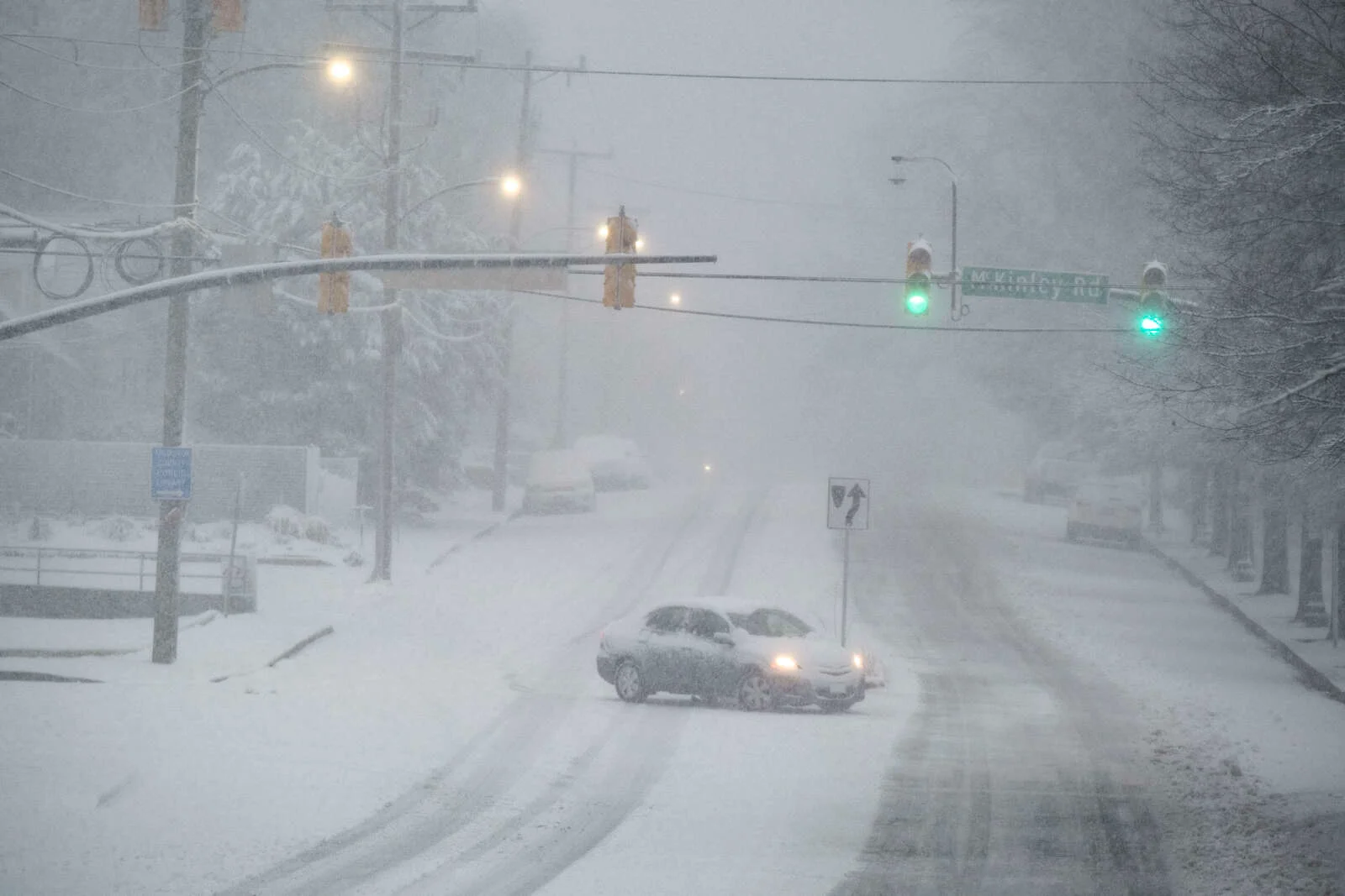
A powerful winter storm brought blizzard conditions to the Philadelphia area and parts of New Jersey and Delaware, dropping over a foot of snow in many spots, with winds up to 40 mph and ongoing outages that exceed 192,000. The storm forced widespread travel disruptions: SEPTA buses suspended and Regional Rail shut, Amtrak and NJ Transit adjusted services, and Philadelphia International Airport canceled hundreds of flights. Schools closed or moved to virtual instruction; city and state officials declared snow emergencies and Code Blue warming measures for the unhoused. Travel restrictions remain in place in several areas, with plow crews working to clear routes as forecasters expect peak conditions through the morning before improving later in the day.
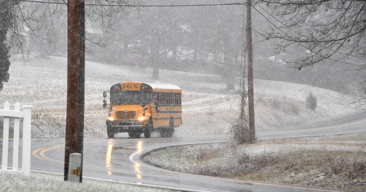
Snowy conditions from a weekend storm prompt closures or delays for Monday in several Maryland districts, including Baltimore City, Baltimore County, and Anne Arundel County, with virtual learning for closed schools. Expect 3–5 inches of snow and continued accumulations into Monday morning, and Sunday is an Alert Day for potential precipitation.
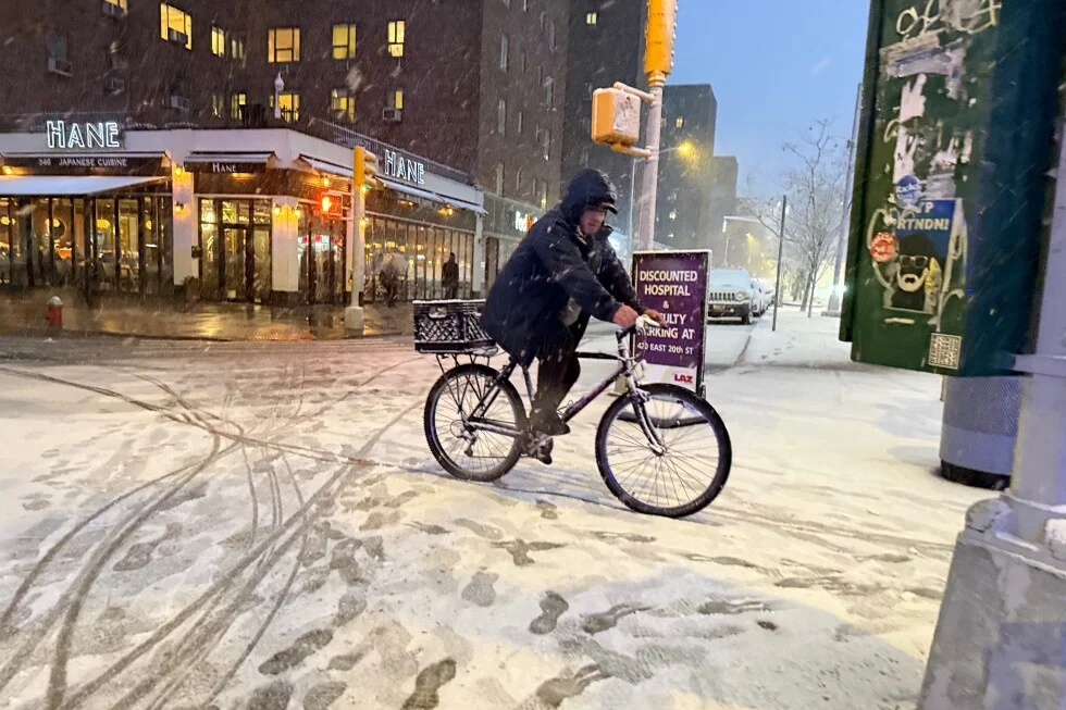
New York City Mayor Zohran Mamdani ordered a citywide traffic ban and shutdown of the traffic network from 9pm Sunday to noon Monday ahead of a massive snowstorm, allowing only essential or emergency travel and urging residents to avoid nonessential trips.
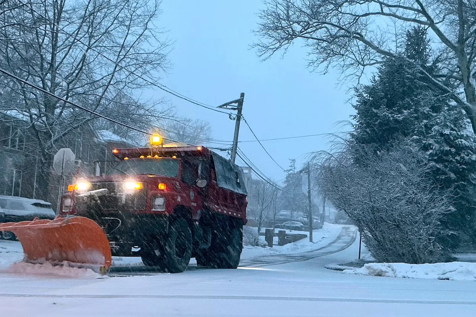
A powerful winter storm has triggered blizzard warnings along the U.S. East Coast, bringing heavy snowfall, low visibility, and travel disruptions from New York to New Jersey as crews deploy plows and monitor for potential outages.
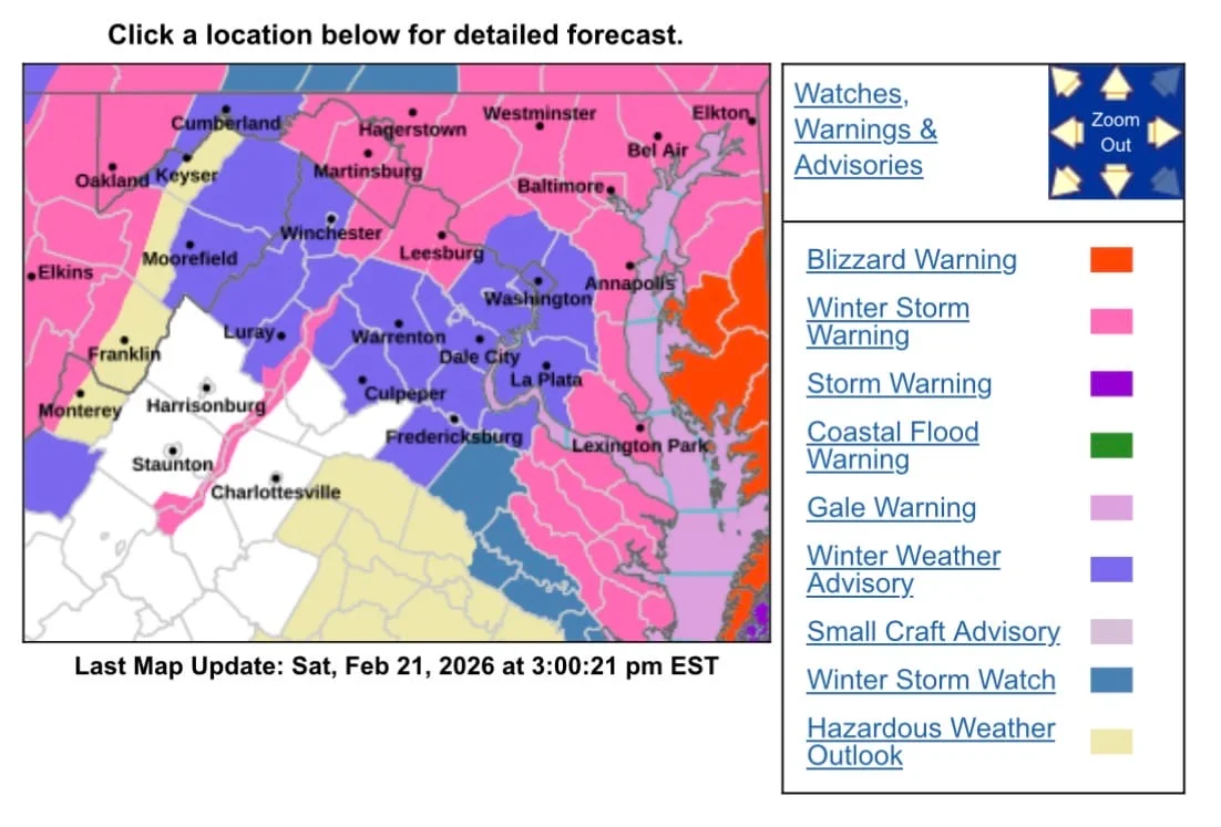
The Capital Weather Gang forecasts several inches of wet snow across the DC region by Monday morning, making school delays or closings likely and potentially altering federal government operations.
A Winter Storm Warning covers parts of Maryland and Northern Virginia from 3pm Sunday to 10am Monday, with 3–6 inches of snow (6–12 inches at elevations above 1,000 feet); a Winter Weather Advisory extends to DC, central/southern Maryland, and much of northern Virginia with 2–4 inches. Gusts up to 35 mph may cause blowing snow and slick roads, making Sunday evening into Monday morning travel hazardous; travelers are advised to slow down and carry emergency supplies.
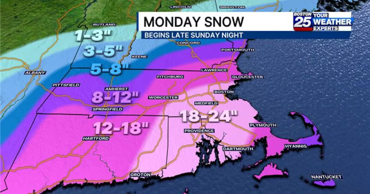
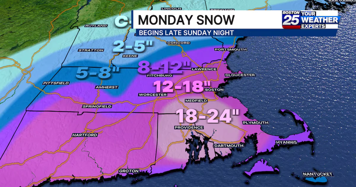
A Sunday-Monday nor'easter is forecast to bring heavy, wet snow to Massachusetts, with 18-24 inches from the South Shore to Rhode Island and up to a foot north toward Worcester and the NH border, along with 30-60 mph winds that could cause widespread power outages and coastal flooding; blizzard and winter storm warnings are in effect and travel will be dangerous Monday.
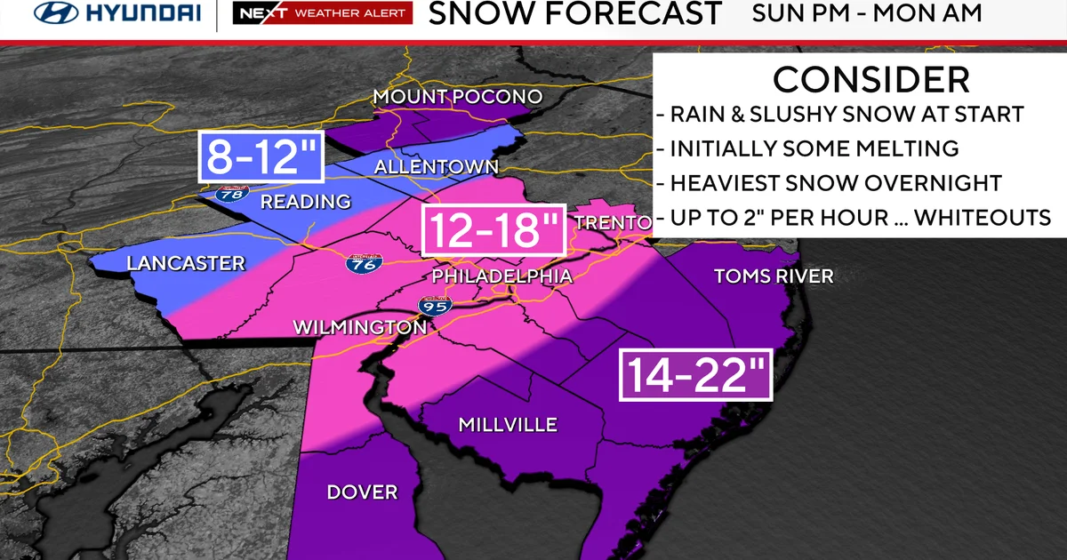
A coastal nor'easter is bearing down on the Philadelphia area with blizzard and winter storm warnings in place. Forecasts show about 12–18 inches of snow in Philadelphia and 14–22 inches near the coast, along with strong winds and potential coastal flooding. Officials warn of dangerous travel, possible power outages, and a forecast path that could intensify into a bomb cyclone, with the heaviest snow Sunday night into Monday and improving conditions later in the week.
A Winter Weather Advisory has been issued for Arlington and the D.C. area, with 2-4 inches of snow expected Sunday night into Monday morning and winds gusting up to 35 mph, likely causing slippery roads and possible impacts to the Monday commute.
A late Sunday–Monday nor’easter is expected to dump heavy snow across Massachusetts, triggering blizzard and winter storm warnings, with southeastern MA seeing 18–24 inches (up to two feet in spots), Boston and the North Shore around 12–18 inches, and Worcester County possibly reaching the New Hampshire border. Coastal flooding, strong winds, and dangerous travel are likely Monday, with power outages possible as the storm unfolds.