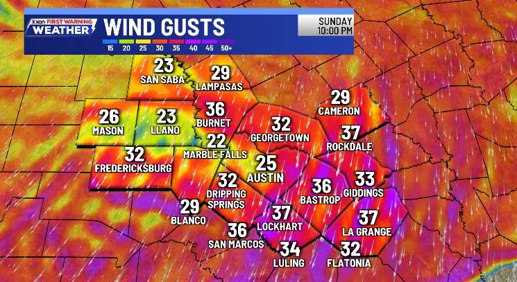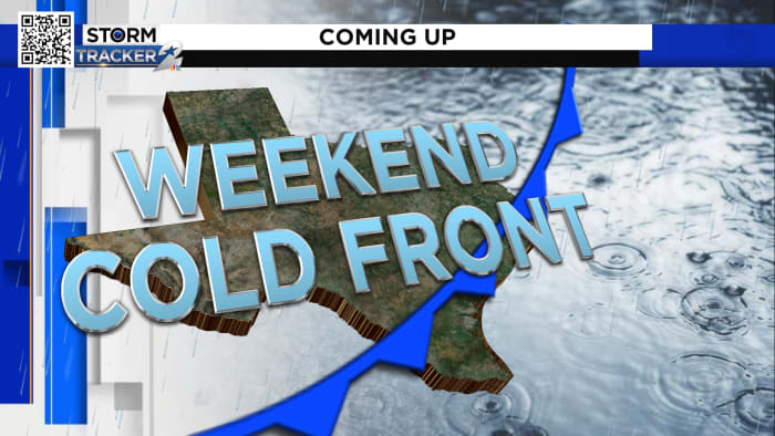
Arctic Cold Front Brings Winter Chill and Rain to Central Texas
A strong polar cold front is arriving in Central Texas between 1 a.m. and 4 a.m. Saturday, bringing gusty winds of 25-45 mph, sharply dropping temperatures into the low 40s, and wind chills in the 20s and 30s. Despite sunshine, Saturday's highs will only reach the upper 50s, with more pleasant weather returning by Sunday and next week, featuring highs in the 60s and lows in the 40s.