"Tracking the 2024 Total Solar Eclipse: Maps, Photos, and Satellite Images"
TL;DR Summary
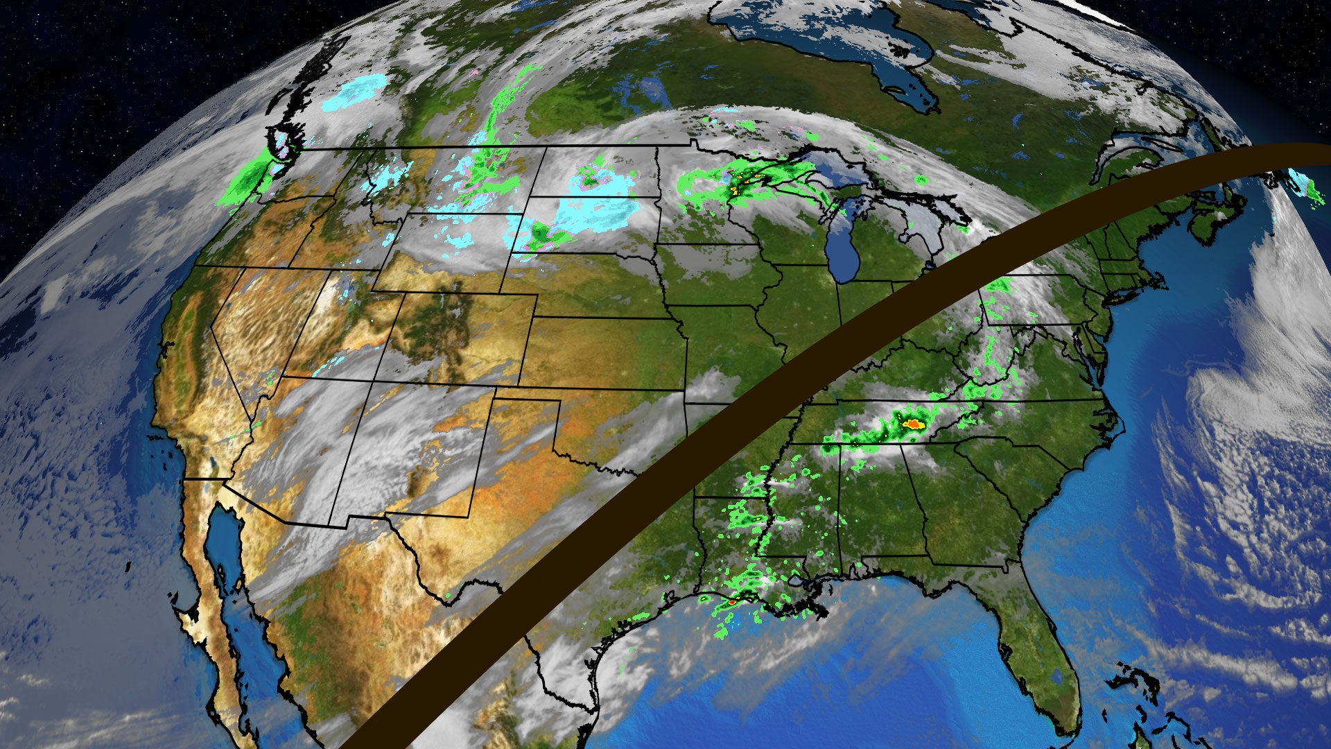
The total solar eclipse occurring today is the first widespread one in the Lower 48 states since 2017 and the last until 2044. Weather maps are being used to track cloud and rain conditions, with temperature drops of 5 to 15 degrees expected in the path of totality. Additionally, the "eclipse wind" phenomenon may cause winds to lighten as the moon covers more of the sun. The Weather Company is providing detailed coverage and updates on the eclipse and its accompanying phenomena.
Topics:science#astronomyweather#eclipse-wind#sky-phenomena#solar-eclipse#temperature-drop#weather-tracking
- Solar Eclipse 2024 Map Tracker | Weather.com The Weather Channel
- Top total solar eclipses to look out for over the next decade Space.com
- The Best Total Solar Eclipse Photos (2024) WIRED
- Satellite Images Show the Total Solar Eclipse’s Shadow From Space The New York Times
- The 2024 total eclipse: This is what Americans saw in the shadows USA TODAY
Reading Insights
Total Reads
0
Unique Readers
1
Time Saved
1 min
vs 2 min read
Condensed
73%
303 → 82 words
Want the full story? Read the original article
Read on The Weather Channel