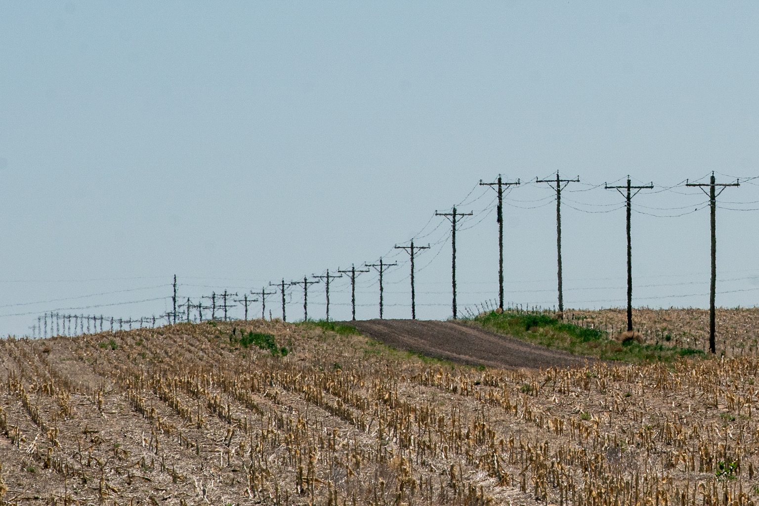
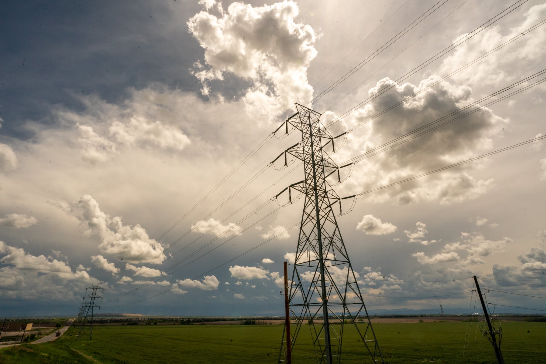
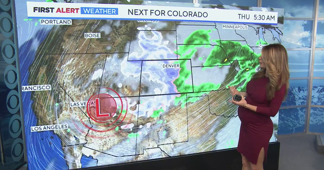
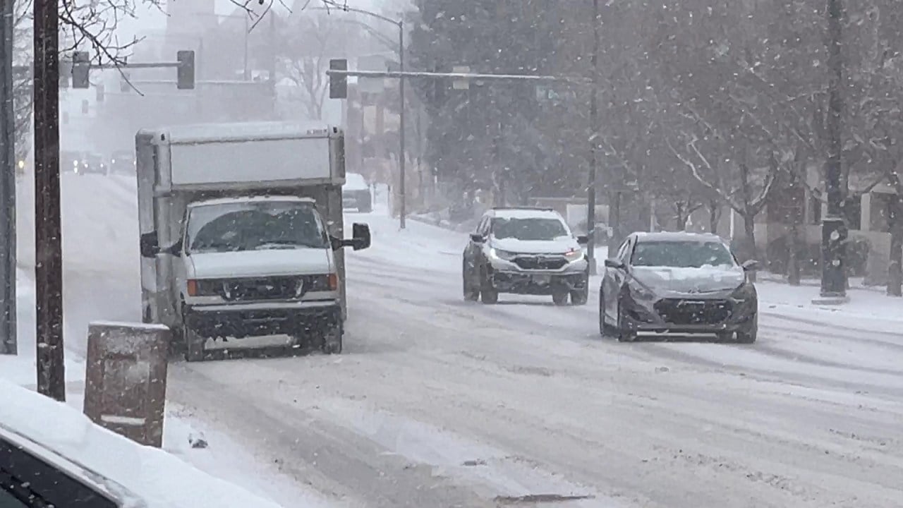
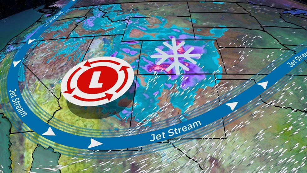
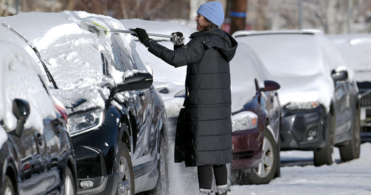
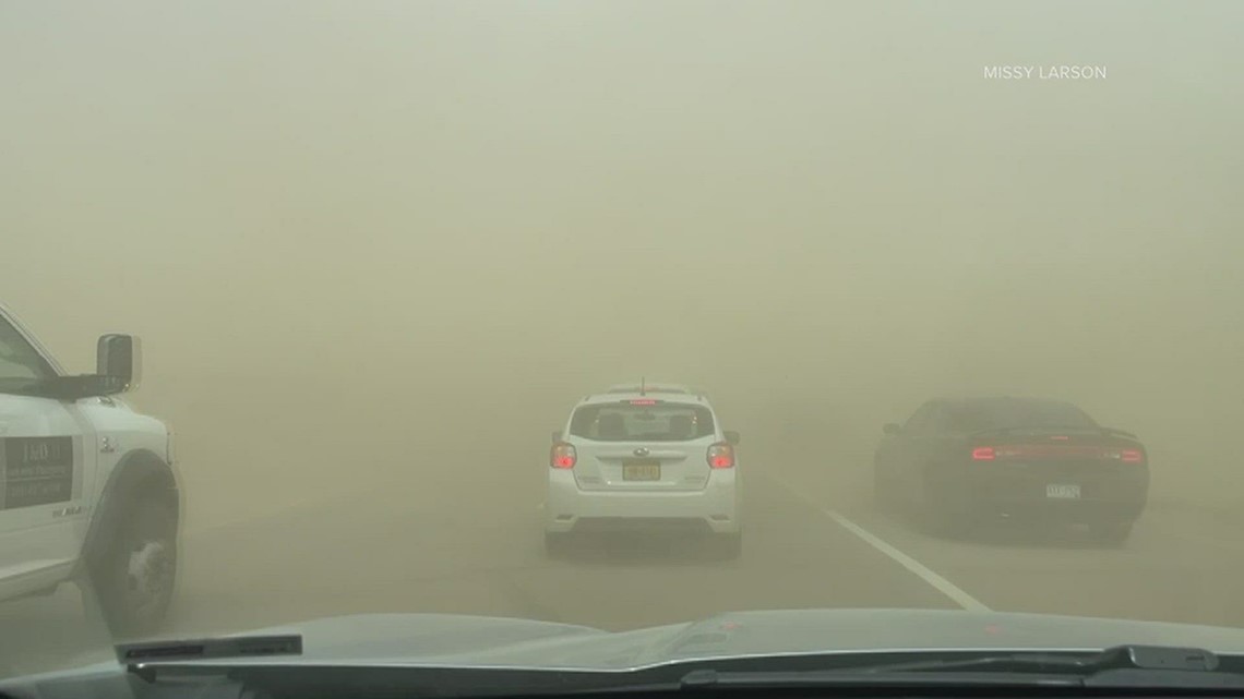
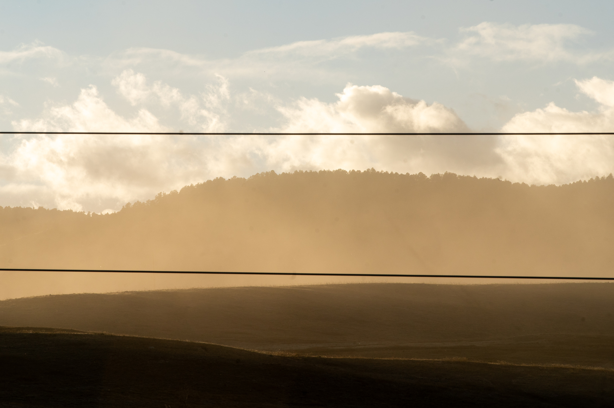
Strong winds along Colorado's Front Range and Eastern Plains caused widespread power outages affecting over 90,000 Xcel Energy customers, led to school closures, and prompted precautionary measures including power shutoffs to prevent wildfires, with conditions expected to persist into Friday.
Xcel Energy is shutting off power for 50,000 customers along Colorado's Front Range due to high winds and dry conditions to prevent wildfires, with power expected to be restored by 6 p.m. and additional outages possible on Friday. The shutdown affects Boulder, Clear Creek, Jefferson, Larimer, and Weld counties, while Denver remains unaffected, and community comfort centers are being set up for residents in need.
Due to critically dry conditions and high winds forecasted for Wednesday, Xcel Energy is likely to implement a Public Safety Power Shutoff affecting parts of the Front Range to mitigate wildfire risks, with the situation closely monitored and updates provided to the public.
A winter storm is set to hit Colorado's Front Range late Sunday, bringing mountain snow and cooler temperatures. The storm could result in 3 to 6 inches of snow in the mountains and up to 2 inches in Denver, with temperatures dropping to the 30s on Monday and Tuesday. This marks a shift from the above-average temperatures experienced so far in December.
A major snowstorm is expected to hit the Denver area, bringing high snow totals of up to 12 inches starting late Wednesday and continuing through Thursday. The storm system, originating from the Pacific Northwest, will bring heavy, wet snow to the Front Range, with the potential for up to 3 feet of snow in some mountain areas. Winter Weather Advisories and Winter Storm Watches will be in effect, and travel may become difficult in the foothills and mountains. Denver International Airport could also experience flight delays and cancellations. There is some uncertainty with the forecast, and the storm track could impact potential totals and timing.
Denver and the Front Range are bracing for a significant snowstorm on Thursday, with a cold front moving in on Wednesday and snow expected to continue throughout the day. The storm could have high-impact effects, potentially making travel inadvisable, and there is still uncertainty about snow totals and other details. The Pinpoint Weather team is closely monitoring the situation and advising people to stay prepared for potential changes.
A winter storm is expected to impact the Rockies and Front Range, including the Denver metro area, with uncertain snowfall predictions. The heaviest snowfall is anticipated in the nearby foothills and the Palmer Divide, while higher elevations in Colorado and northern New Mexico could see over a foot of snow. The storm's track and the timing of rain changing to snow are uncertain, making the Denver forecast subject to change. March is historically one of the snowiest months for this region, with Denver's long-term average March snowfall at 11.5 inches.
A fast-moving snowstorm is expected to bring heavy snow to Denver and Colorado's Front Range, with a Winter Weather Advisory in place from 4 p.m. to 2 a.m. on Saturday. The area could see 2 to 6 inches of snow, with some areas experiencing heavier snowfall due to banded snowfall. The snow is forecasted to clear out early Saturday morning, with sunshine expected by sunrise, but temperatures will remain cold with lows in the teens.
Coloradans are experiencing stormy and drizzly weather this Memorial Day weekend, with hail and wind reported along the Front Range. The Pinpoint Weather team predicts storm chances will continue into next week, with temperatures in the upper 70s and low 80s. Viewers have sent in pictures of hail pieces the size of a quarter.
The Community Collaborative Rain, Hail and Snow Network (CoCoRaHS) has reported rain totals for Denver, the Front Range, and Eastern Plains from May 10-12. The data shows heavy rain, lightning, and hail, raising the risk of flooding in the area. The highest total was used for municipalities with multiple stations.
An overnight hailstorm caused damage in parts of Colorado's Front Range, including shattered windshields and damaged exteriors of cars in Erie. More than a dozen reports of hail at least 1 inch in diameter were reported late Tuesday, and some hailstones were as large as 2 inches in diameter. More large and damaging hail is possible on Wednesday, which is a First Alert Weather Day due to the threat for more severe weather.
Hurricane-force winds with gusts up to 79 mph hit the Front Range area of Colorado, causing road closures, power outages, and downed trees. Red Flag Warnings are in effect due to dry conditions, and an air quality health advisory for blowing dust has been issued. The winds are expected to continue until 5-6 p.m. before tapering down.