DC Brief Thaw Ahead of Midweek Light Snow and Bitter Freeze
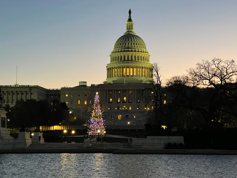
Washington, D.C. area is emerging from a multi-day deep freeze with a milder day, but forecasters warn of a midweek chance of light snow followed by another bitter cold blast.
All articles tagged with #dc weather
Washington, D.C. area is emerging from a multi-day deep freeze with a milder day, but forecasters warn of a midweek chance of light snow followed by another bitter cold blast.
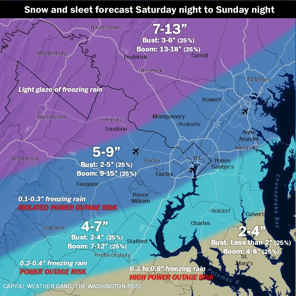
A wintry mix is in the forecast for the DC area: heavy snow tonight into early Sunday, then sleet and freezing rain on Sunday, with very cold temperatures returning for much of next week. Expect travel disruptions and safety advisories as the Capital Weather Gang tracks the storm.
A couple of showers are expected tonight in the DC area, with Hurricane Erin passing offshore bringing breezy conditions tomorrow. The weather will improve Friday and Saturday with sunshine and low humidity, but chances of showers and storms return Sunday. A significant cooldown with below-normal temperatures and low humidity is forecast for the upcoming weeks, influenced by high pressure systems over Canada and Greenland. Coastal areas from Virginia to New Jersey will experience dangerous surf, rip currents, and coastal flooding due to Hurricane Erin, which, despite being offshore, poses a serious threat to the East Coast.

A weather forecast for the D.C. area predicts strong storms and potential flooding tonight, with a risk of severe weather including damaging gusts and hail, followed by cooler, partly cloudy days and a warming trend into early next week with increasing summer heat. A flood watch is in effect from Friday evening to early Saturday morning due to expected heavy rainfall.
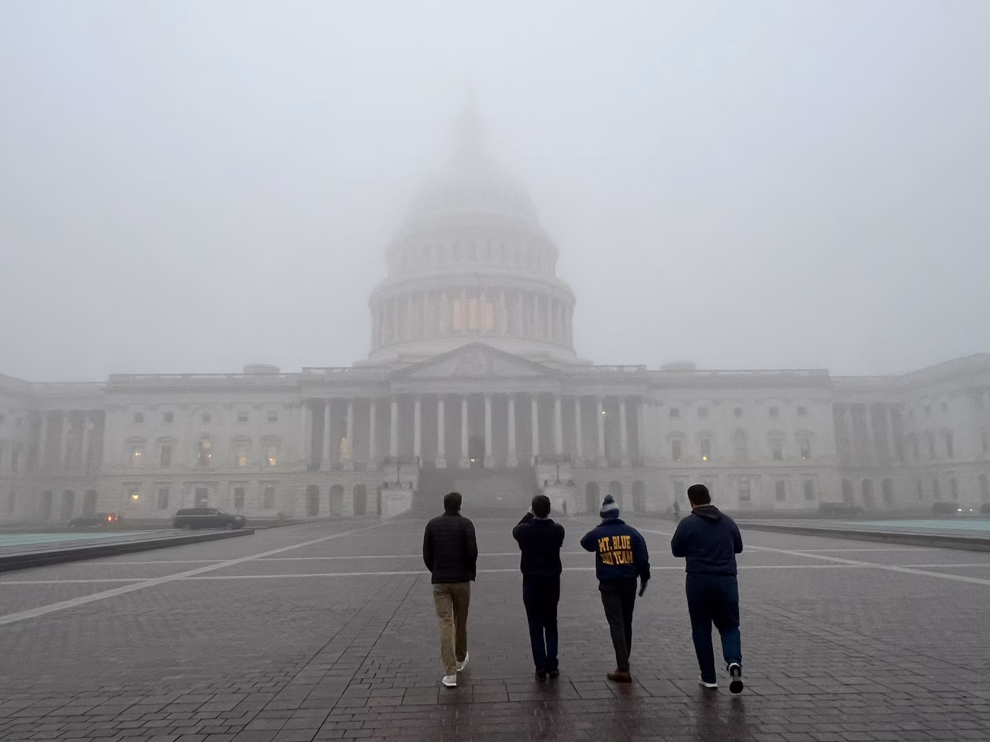
The D.C. area is experiencing patchy fog and will see increasing rain tonight, with heavy downpours expected through Wednesday, potentially easing the region's drought. A dense fog advisory is in effect until 2 a.m., with visibility dropping to 0.25 miles or less. Temperatures will rise to near 60 before gusty winds bring a drop into the upper 30s to mid-40s by Thursday. The rainstorm could bring 1 to 2 inches of rain, the most in over two months, with possible spotty flooding and winds over 30 mph.
The D.C. area is experiencing a cold weather pattern with sunny but breezy conditions, as polar high pressure dominates the region. Temperatures are expected to remain below seasonal norms, with highs in the 30s and 40s, until they begin to moderate by Sunday. A chance of snow or rain showers is possible late Wednesday into Thursday, but significant precipitation is unlikely. Despite the current cold, November was the warmest on record for D.C., contributing to 2024 being one of the warmest years so far.
The D.C. area is experiencing a cold snap with temperatures struggling to rise above the 30s today, making it feel like January. The chilly weather is expected to persist into next week, with a chance of rain or snow showers tomorrow as winter officially begins according to the climatological calendar.

The D.C. area will experience mild weather today and tomorrow, with mostly sunny skies and temperatures reaching the mid-50s to low 60s. A cold front is expected to bring showers Monday night into Tuesday morning, followed by cooler air on Wednesday. The Thanksgiving Day forecast remains uncertain, with possibilities ranging from dry conditions to chilly rain.
The D.C. area is experiencing its most intense heat wave of the summer, with temperatures potentially reaching near-record highs of 104 degrees today. An excessive-heat warning is in effect from 11 a.m. to 8 p.m. Pop-up thunderstorms may offer some relief today, with more widespread storms expected tomorrow. Cooler temperatures and lower humidity are anticipated by Thursday, with storm chances returning over the weekend.
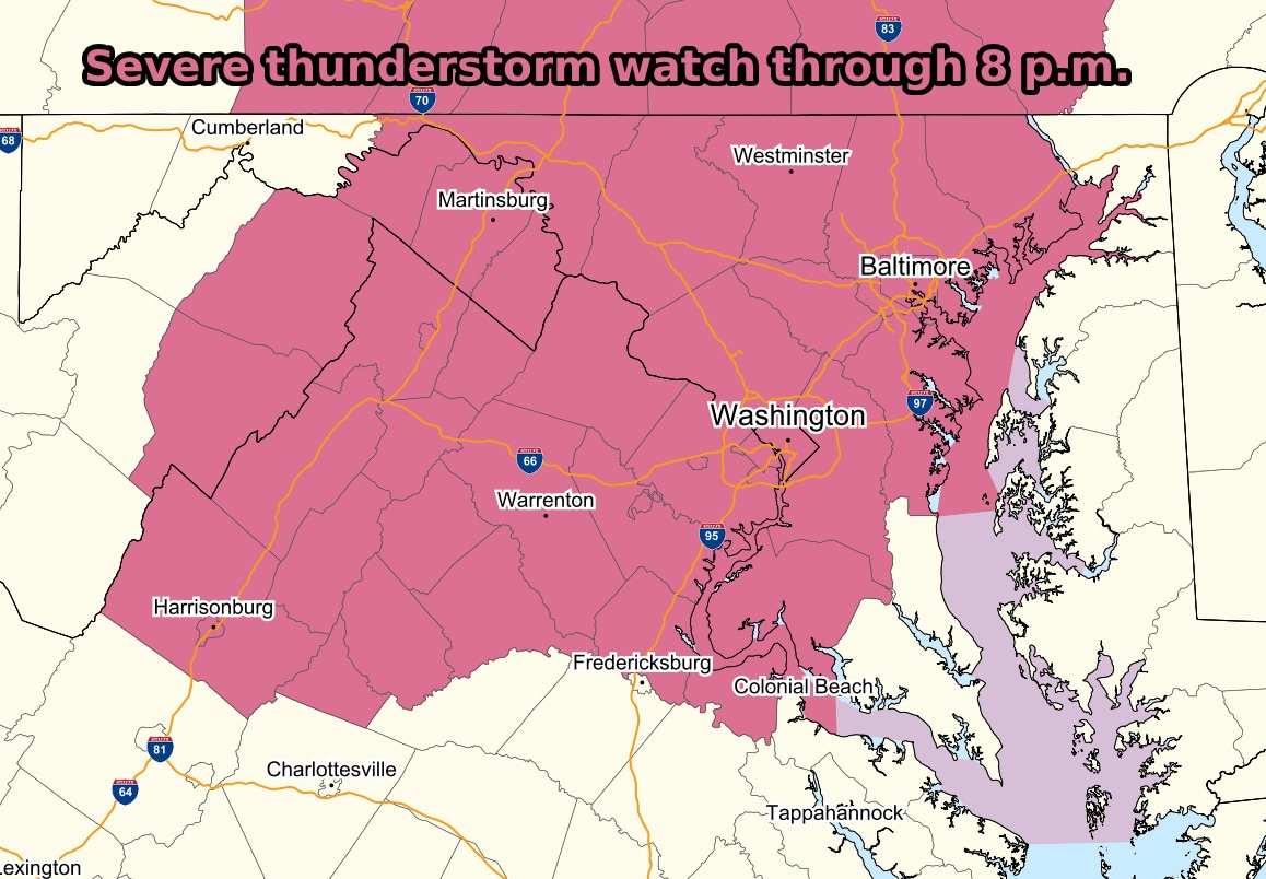
The D.C. area is under a severe thunderstorm watch until 8 p.m. due to high temperatures and humidity, with potential for damaging winds, hail, lightning, and heavy rain. Scattered thunderstorms are expected through the evening, possibly lasting until midnight. Residents should be prepared for severe weather and seek shelter if a warning is issued. Overnight lows will range from the mid-60s to near 70, with patchy fog possible. Tomorrow's weather may see fewer storms due to cloudier skies.

The first week of May in the D.C. area is expected to be cooler than any week in April, with temperatures struggling to top 60 until Thursday or Friday. There is a chance of a shower or two, mainly in the afternoon, from Monday through Thursday. The nights are expected to be partly cloudy and chilly with lows of 40 to 45. However, the weekend is expected to be delightful with sunshine and temperatures closer to 70.