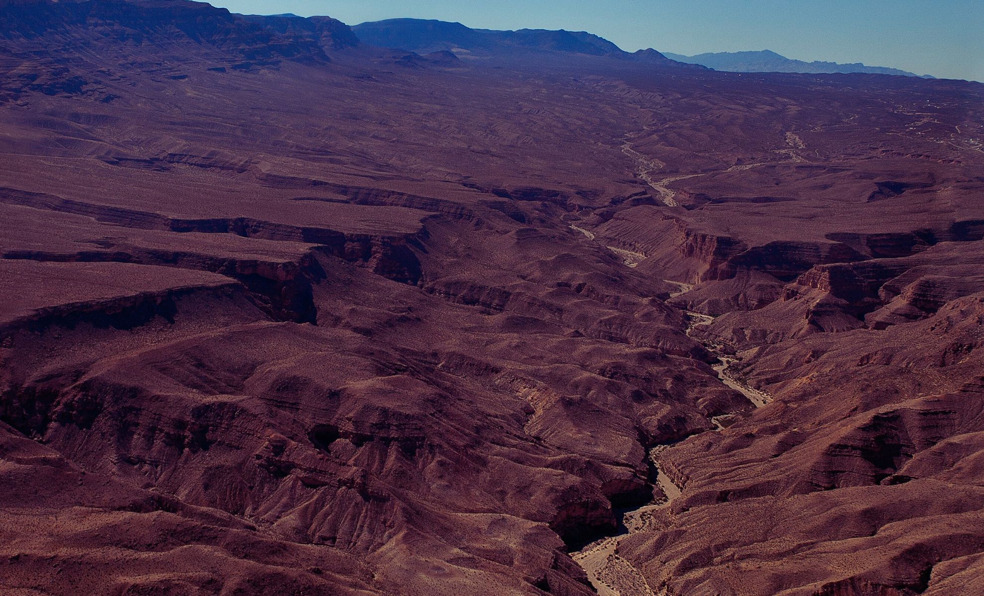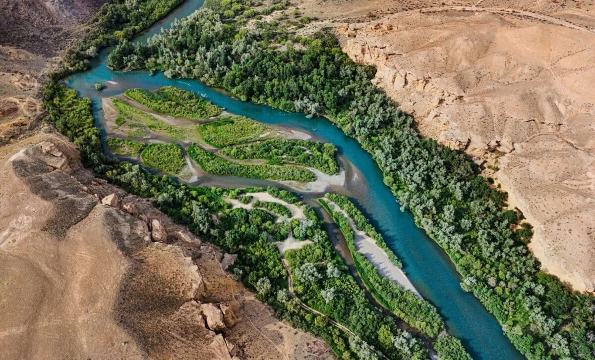
Mantle Drip Carved the Green River Through Utah's Uinta Mountains
Geologists say a lithospheric drip—dense lower-crust material sinking into the mantle—pulled the land downward beneath Utah's Uinta Mountains, creating a temporary depression that let the Green River punch a 700-meter canyon through the range around 8 million years ago; as the drip broke off and the crust rebounded, the river remained entrenched, reshaping North America’s hydrology and the continental divide, with seismic imaging and river-network modeling supporting the scenario.