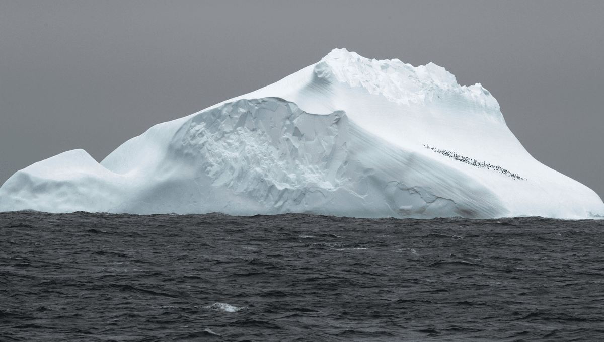
Research indicates that the Antarctic Circumpolar Current (ACC), the world's largest ocean current, may shift its location and change its strength over the coming centuries due to natural cycles and climate change, potentially impacting global climate, sea levels, and ecosystems.
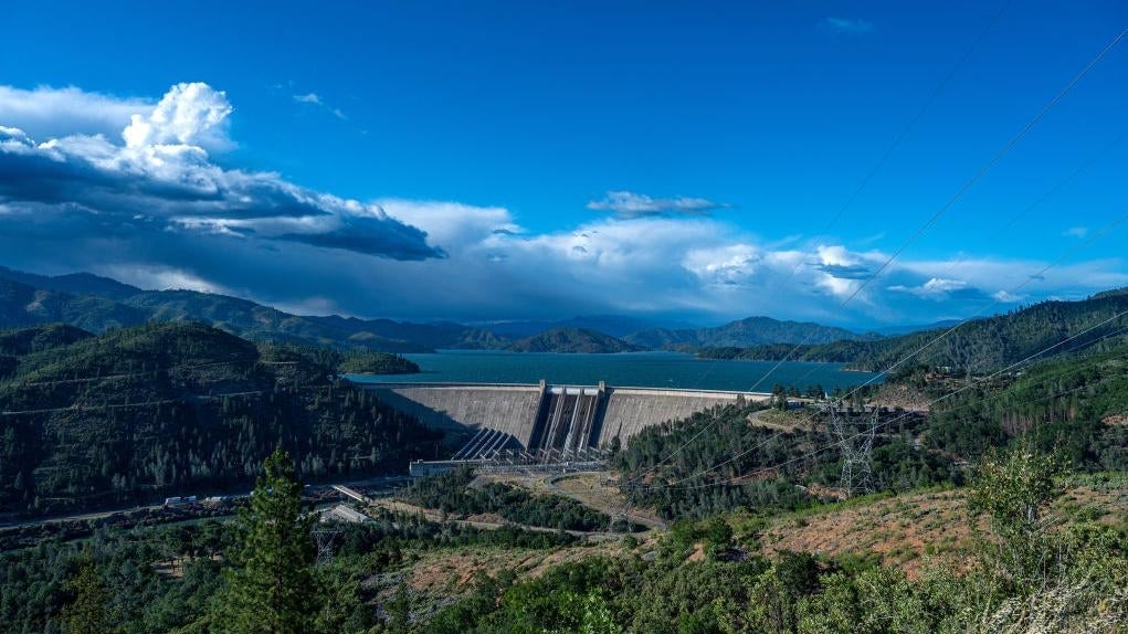
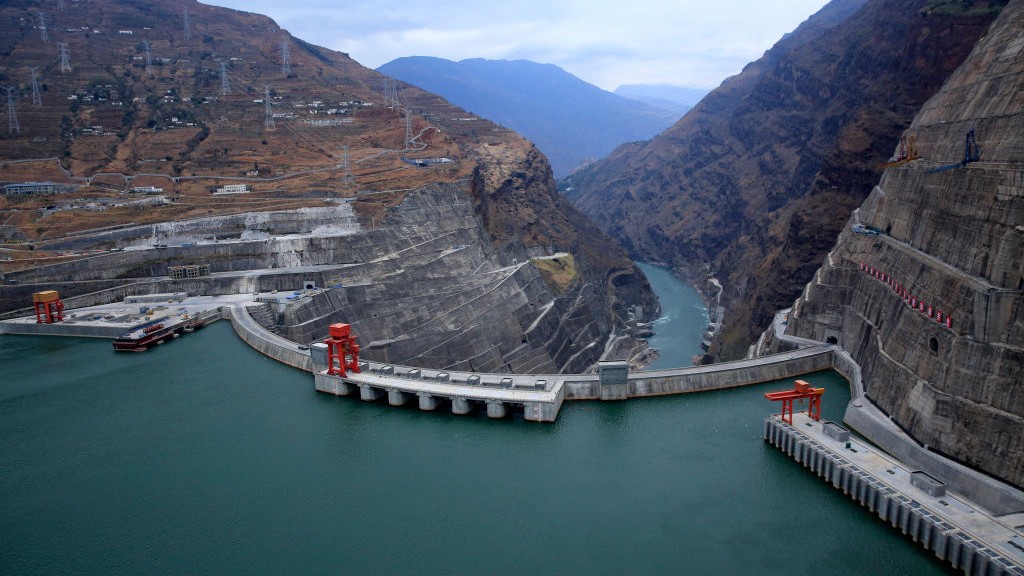
Human construction of nearly 7,000 dams over the past 200 years has caused the Earth's poles to shift by about three feet due to mass redistribution, affecting the planet's rotation and sea levels, highlighting the need to consider dam water storage in future sea level rise predictions.
New research shows that the construction of thousands of dams worldwide has caused Earth's poles to shift by redistributing mass, with a total movement of about 3.7 feet over nearly two centuries, and also impacts sea levels by trapping water behind dams, which should be considered in sea level rise projections.
Recent studies have uncovered that the Messinian Salinity Crisis, occurring between 5.97 and 5.33 million years ago, transformed the Mediterranean Sea into a massive salt basin through a two-phase evaporation process. This led to a dramatic drop in sea levels, losing up to 70% of its water volume, and caused significant environmental impacts, including volcanic eruptions and global climate changes. The findings, published in Nature Communications, enhance understanding of past geological phenomena and their global repercussions.
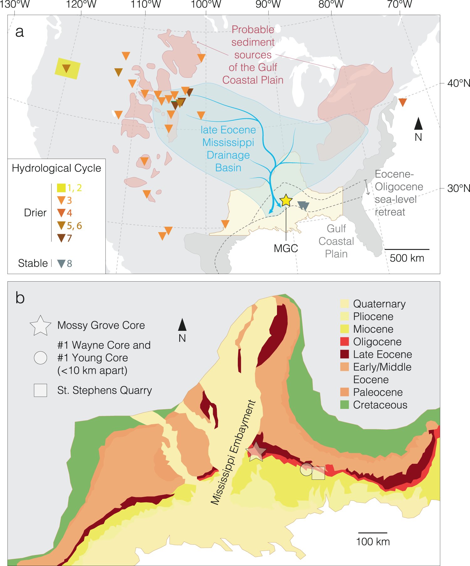
Mud cores drilled in Mississippi have provided clues about the formation of major ice sheets on Antarctica and a significant climate cooling event. The cores revealed that falling sea levels led to a release of carbon from coastal environments into the atmosphere, contributing to a temporary brake on climate cooling. The study fills in gaps in the geological record and sheds light on the timeline of the Eocene-Oligocene transition, highlighting the role of the biosphere and carbon cycle in Earth's climate shifts.
The Surface Water and Ocean Topography (SWOT) mission, led by NASA and CNES, has provided the first detailed images of ocean currents like the Gulf Stream, using its Ka-band Radar Interferometer (KaRIn) instrument. The satellite will measure the elevation of nearly all the water on Earth’s surface and provide one of the most comprehensive surveys yet of our planet’s surface water. SWOT’s measurements of freshwater bodies and the ocean will provide insights into how the ocean influences climate change and the water cycle, how a warming world affects water storage in lakes, rivers, and reservoirs, and how communities can better manage their water resources and prepare for floods and other disasters.