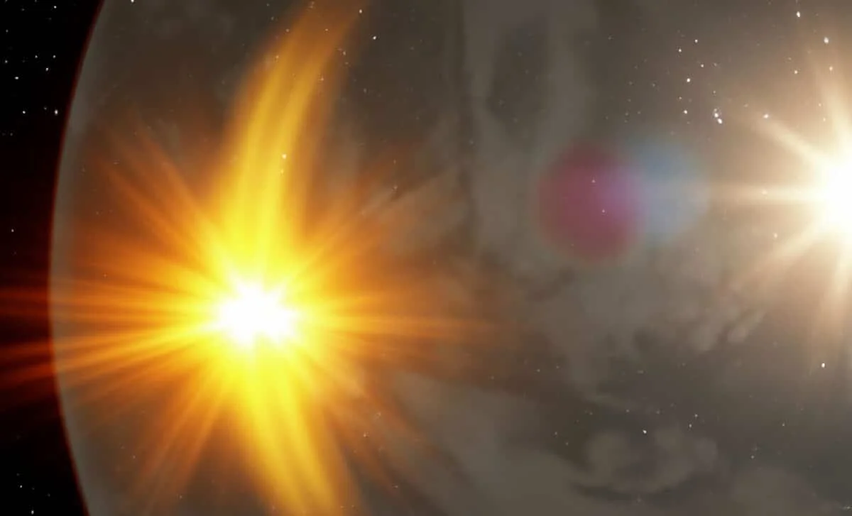
Deflated Crescent: Scientists Redraw the Shape of the Sun’s Protective Bubble
Researchers using ENA data from IBEX and a 3D mapping approach from Los Alamos reveal the heliosphere—our solar wind–generated shield—has a deflated crescent shape, not a sphere or oval, with the sun–heliopause distance around 120 AU in one direction and at least 350 AU in the opposite, indicating an asymmetric boundary shaped by solar and interstellar winds.