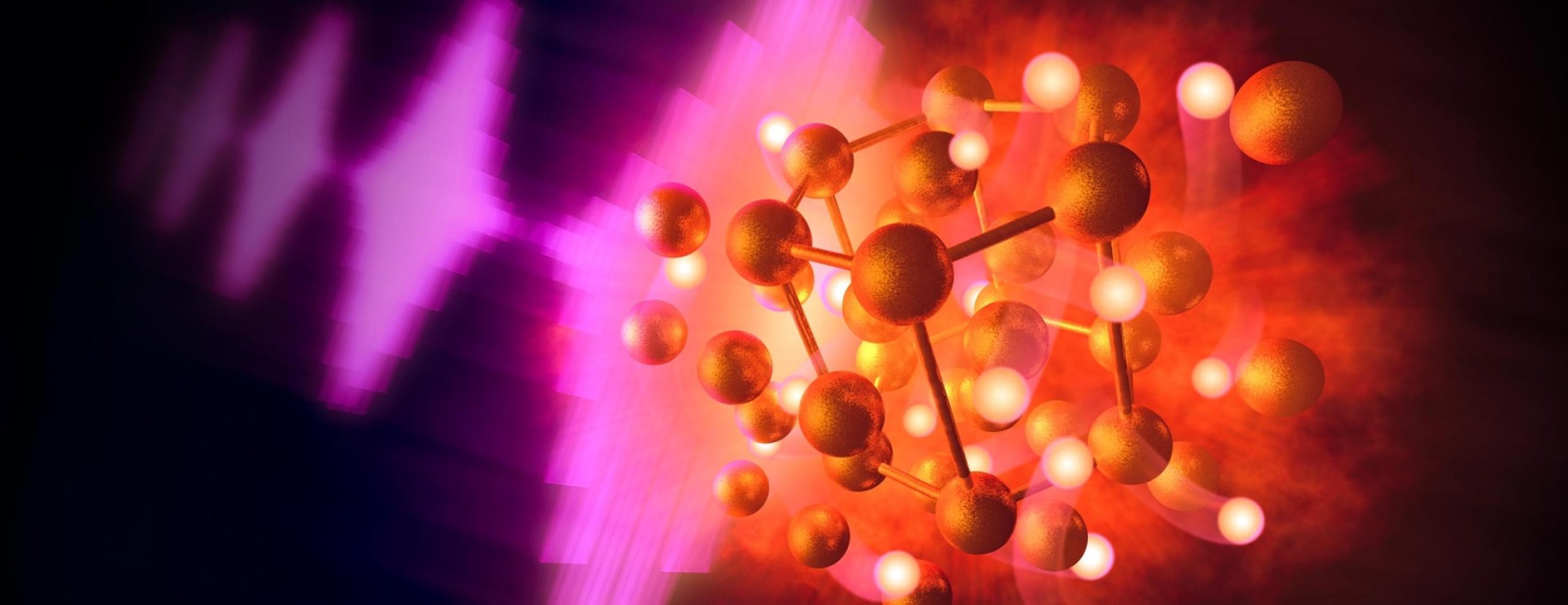
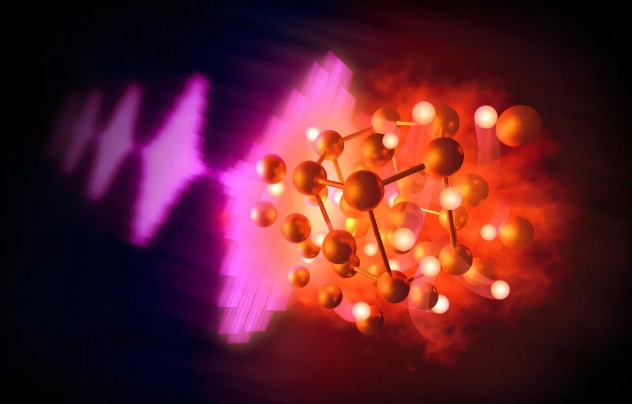
Researchers have achieved bulk superconductivity up to 96 K in pressurized bilayer nickelate single crystals synthesized at ambient pressure, overcoming previous growth limitations and revealing structural support for superconductivity in both monoclinic and tetragonal phases, with a correlation between higher Tc and lattice distortion.
Scientists have created a new phase of ice, called XXI, that forms at room temperature under extreme pressure, revealing the complex variety of water's solid states and potentially explaining the composition of icy moons.
Researchers at SLAC accidentally created a new gold hydride compound by heating gold and hydrocarbons under extreme pressures and temperatures, revealing novel chemical behaviors and providing insights into dense hydrogen and fusion processes, with potential applications in planetary science and energy research.
Scientists at SLAC and European XFEL unexpectedly created solid gold hydride by combining gold and hydrogen under extreme pressure and temperature, revealing new chemistry possibilities and insights into dense hydrogen relevant to planetary interiors and fusion energy research.
A heat dome, caused by a high-pressure system trapping warm air, is causing extreme temperatures across the eastern U.S., with warnings for health risks and record-breaking heat linked to climate change. The phenomenon acts like a lid on a pot, leading to prolonged heat and dry conditions, and is influenced by jet stream patterns. Similar events have occurred across the U.S. in recent years, with increasing severity due to global warming.
Afternoon showers and temperature drops were common today, with highs in the mid- and upper 50s. Showers will diminish tonight, leading to mostly clear skies and temperatures dipping to the mid-30s to around 40 by dawn. Saturday will see morning sunshine giving way to gray skies and a possibility of showers, with highs in the mid- to upper 50s and gusty northwest winds. Sunday will be sunnier with lighter winds and temperatures rising into the low 60s, thanks to high pressure building into the area.
Scientists have successfully transformed pure water into a metallic state by bringing it into contact with an electron-sharing alkali metal, inducing conductivity and a golden sheen. This breakthrough, achieved without the need for extremely high pressures, provides insight into the phase transition of water and could facilitate the study of extreme high-pressure conditions within large planets. The research, published in Nature, offers potential for replicating conditions inside planets like Neptune and Uranus, where metallic hydrogen is thought to exist.
Central Florida is set to experience a significant warming trend, with temperatures reaching near 70 degrees on Monday and potentially hitting the 80s by Wednesday. The region can expect a mix of sun and clouds with gusty winds, and high pressure off the Florida coast will likely keep the week dry. The unseasonably warm air is attributed to this weather system, with the next chance of rain and a cooldown expected on Sunday.
While much of the United States is experiencing a cold snap with record-breaking low temperatures and blizzard conditions, Phoenix is enjoying milder temperatures due to a pattern of warm air building underneath a ridge of high pressure. The city is expected to climb back into the low- to mid-70s late this week, into the weekend, after experiencing some low temperatures in recent days. However, a pattern change is expected to bring rain and a slight dip in temperatures to the area.
Breezy conditions will slowly diminish tonight with decreasing cloud cover, leading to clear skies and temperatures in the upper 20s to mid-30s by dawn. Monday will be calm with high pressure bringing clear skies and decreasing breezes, though high clouds will increase overnight with a chance of rain showers and snow flurries. A strong storm system is expected on Tuesday, bringing threats of flooding, damaging wind gusts, and potential excessive rainfall, with the possibility of gusts exceeding 50 mph. The forecast for the previous storm was considered accurate given the marginal wintry precipitation conditions.
Saturday will be mild with clouds and a few breaks of sunshine, temperatures reaching the 50s in the south and 40s in the north. Overnight, low pressure will bring increasing clouds and rain showers, with the potential for patchy fog and black ice. Sunday will be raw and colder, with rain developing from south to north and the possibility of snow in northern New England. Central and northern New England have the best chance for accumulating snow. Conditions improve on Monday, with drier and cooler temperatures expected for Tuesday and Wednesday. Another system with rain and snow is expected later in the week.
A dry stretch of weather is expected in Rochester, NY, as several areas of high pressure move into the region, inhibiting cloud formation and bringing some sunshine. Although temperatures will remain chilly, there is no snow in the forecast for the upcoming week.
Scientists are using lasers to explore the high pressures found in the Universe, such as those inside exoplanets and stars. By focusing coherent laser beams on small targets, immense amounts of power can be delivered in short periods of time, superheating the outer layers of the target and driving a shock wave into the material. This process allows scientists to achieve densities that would otherwise be impossible, providing insights into the exotic forms of matter under extreme pressure. The use of lasers in this way has also been instrumental in achieving break-even fusion experiments.
Foggy conditions will clear up by midday, with clouds gradually breaking and some sun expected. Southerly winds will bring warmer temperatures in the 70s, possibly reaching the 80s in some areas. Light winds and cool temperatures at night may lead to fog developing again on Wednesday morning. A cold front will move in on Wednesday, bringing stronger winds and a small chance of showers. Temperatures will range from the upper 50s to low 70s mid-week, with Thursday being the coolest day. Moisture may return on Thursday afternoon and evening. The end of the week will be dry, but there is a chance of moisture over the weekend. Overall, high pressure will dominate, resulting in mainly dry conditions.
A high pressure system will bring sunny and warm weather with temperatures in the mid-80s through the weekend, but rough surf and high rip current risk will persist at beaches. Coastal flooding is possible in Palm Beach County due to onshore winds and higher tides. Rain chances increase late Sunday and into Monday, with isolated showers possible through Tuesday evening, potentially impacting Halloween trick-or-treating. A cold front may approach by the middle of next week, bringing cooler temperatures around 80 degrees.