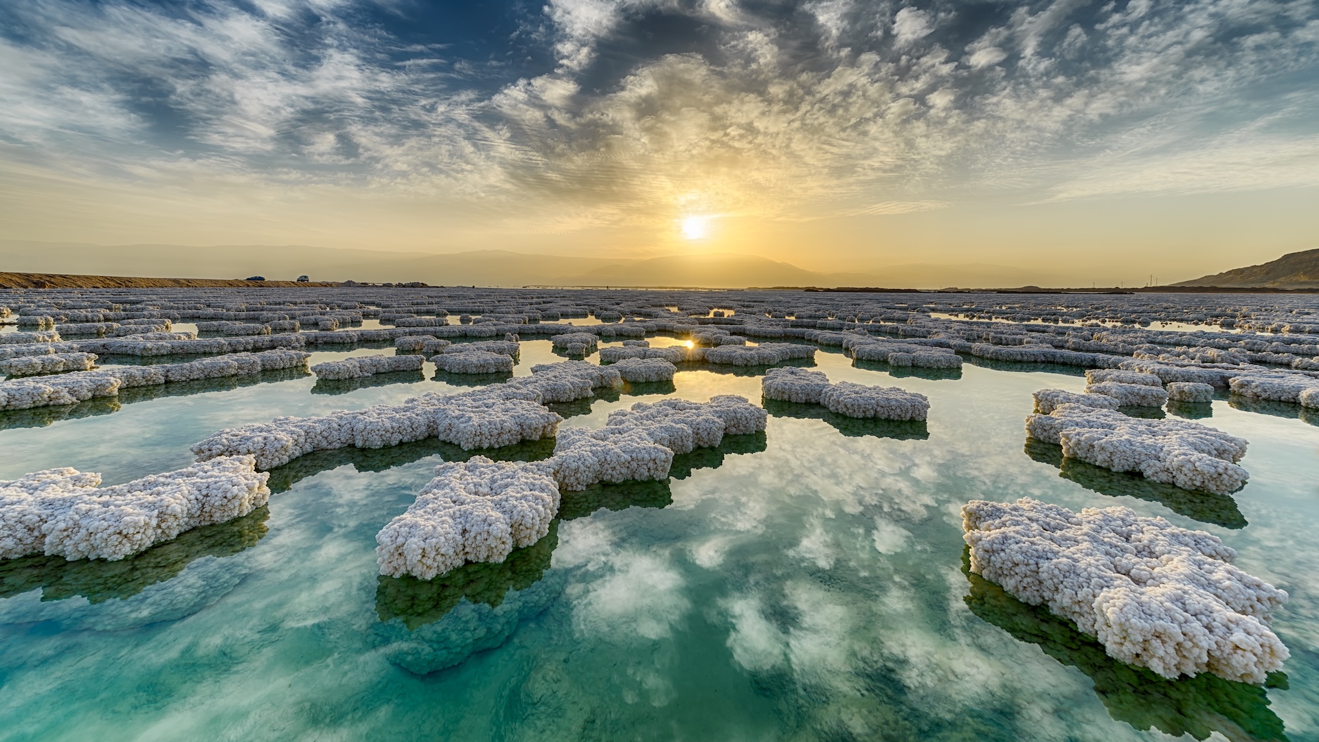
The lowest point on Earth's land surface is the banks of the Dead Sea, approximately 1,300 feet below sea level, while the deepest point on Earth is Challenger Deep in the Mariana Trench at about 35,876 feet below sea level.
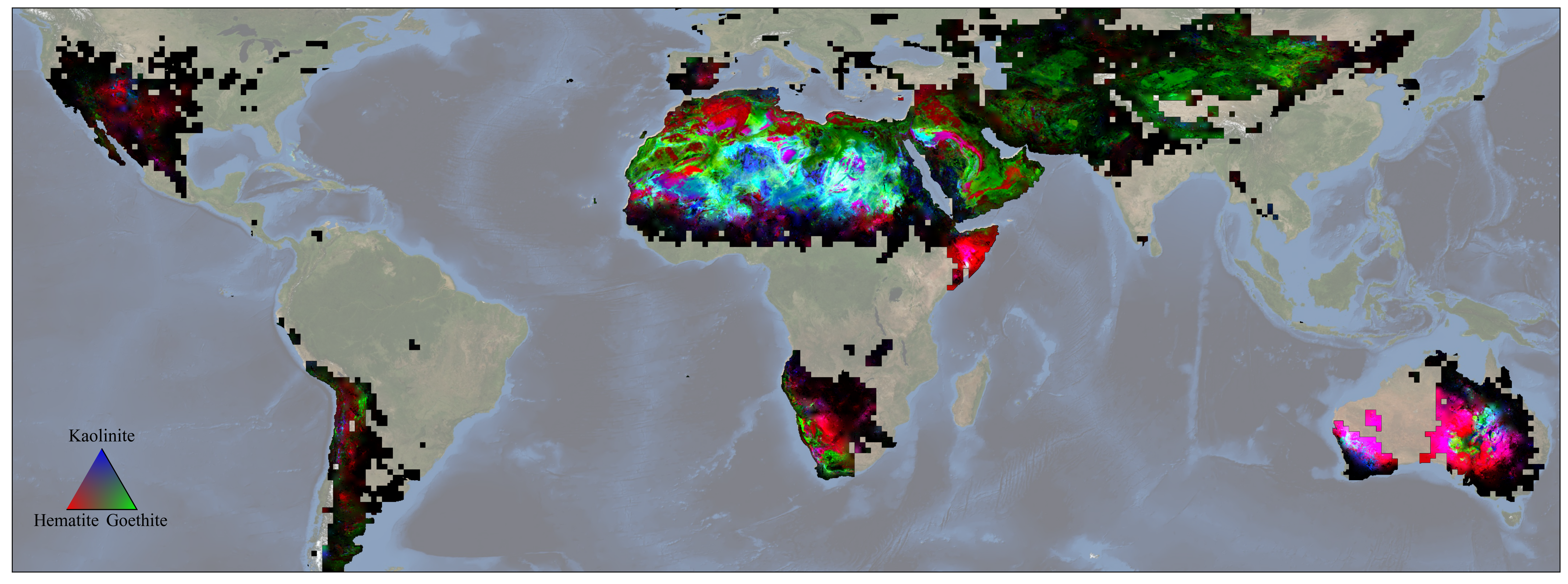
NASA's EMIT mission has produced the first global maps of surface minerals in arid regions, providing precise locations of 10 key minerals based on how they reflect and absorb light. These maps will help scientists model the role of fine particles in climate change and predict future climate impacts. EMIT, an imaging spectrometer, scans broad areas from the International Space Station, capturing detailed images of the Earth's surface. In addition to climate modeling, the mission's data can be used to study the impact of mineral dust on ecosystems and track the movement of nutrients across long distances. The mission also has the potential to discover new scientific insights and identify previously unknown substances on Earth's surface.
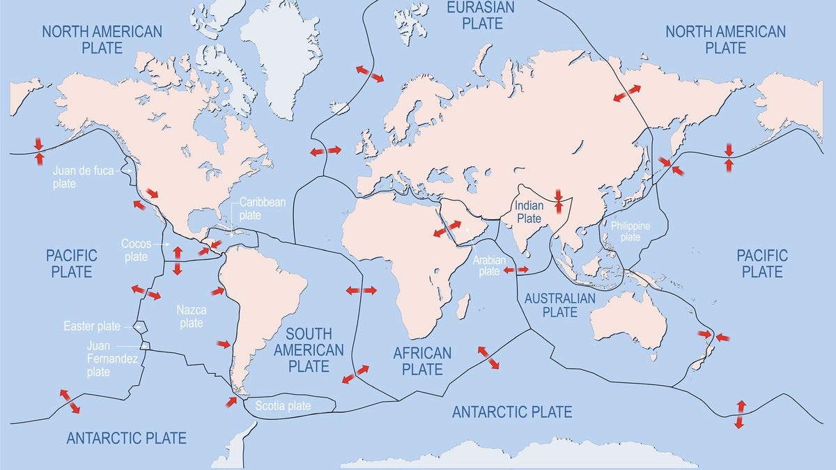
Earth's surface is divided into tectonic plates, with estimates ranging from 12 to 14 primary plates covering most of the planet. The largest plates include North American, African, Eurasian, Indo-Australian, South American, Antarctic, and Pacific plates. Additionally, there are smaller plates such as the Philippine Sea, Cocos, Nazca, Arabian, and Juan de Fuca. Plate boundaries can further splinter into microplates, with an estimated 57 on Earth. The Pacific Plate is the fastest-moving, and its motion is caused by subduction zones along the Ring of Fire. The future appearance of Earth's plate-encrusted surface remains uncertain.
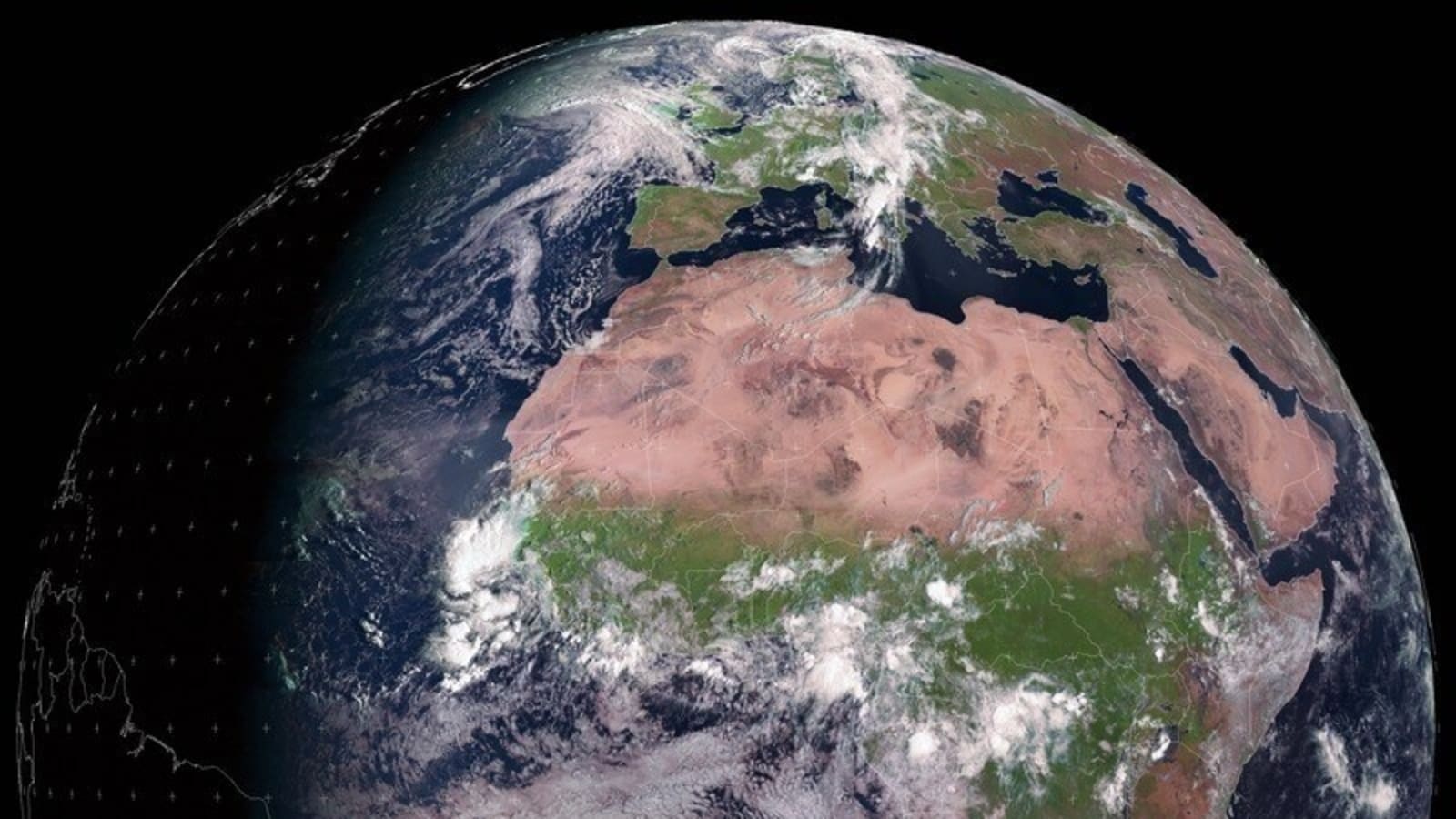
The European Space Agency (ESA) shared a satellite image showcasing the Autumn equinox, which marks the division of day and night on Earth's surface. During an equinox, day and night are approximately equal in length all across the globe. The image is significant as it represents the moment when the Sun crossed the celestial equator, signifying the autumn equinox in the Northern Hemisphere.