A new digital atlas reveals that the network of roads in ancient Rome was nearly 50% longer than previously thought, expanding from 117,163 miles to about 186,000 miles, thanks to advanced technology and analysis of historical and satellite data.
A new digital atlas reveals that the ancient Roman road network was nearly 50% longer than previously thought, expanding from 117,163 miles to about 186,000 miles, thanks to advanced technology and archival research, providing deeper insights into Roman infrastructure and its impact on history.
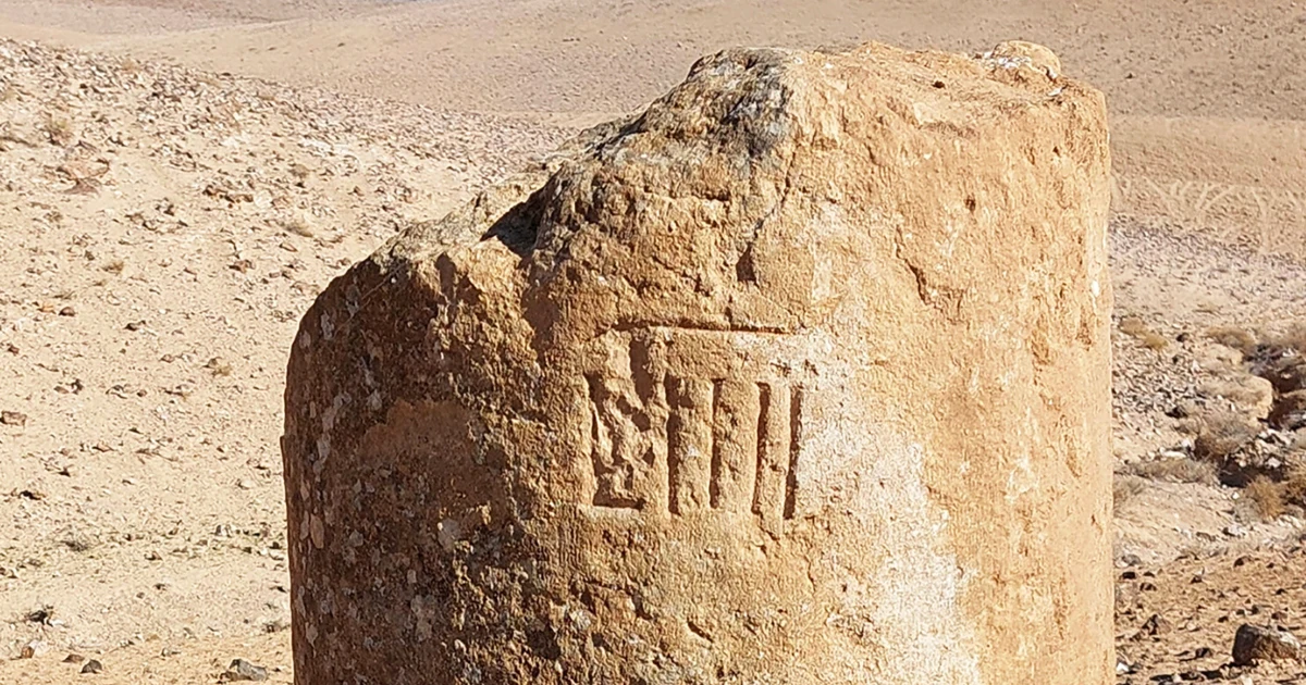
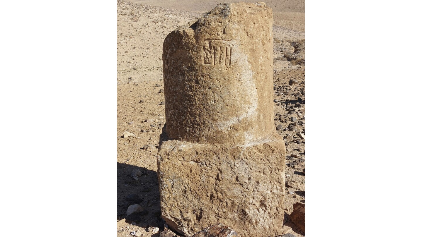
A new comprehensive map and digital dataset called Itiner-e reveals nearly 300,000 km of Roman roads, significantly expanding previous knowledge and offering insights into ancient transportation networks, their construction, and potential logistical implications within the Roman Empire.
A new digital atlas reveals that the Roman road network was nearly 186,000 miles long, 50% longer than previously known, thanks to advances in satellite imagery and aerial photography, providing deeper insights into ancient Roman infrastructure and its impact on history.
A new map called Itiner-e has nearly doubled the known length of the ancient Roman road network to 300,000 km, revealing that only about 3% of these roads are precisely mapped. The project compiles extensive historical and archaeological data, showing that many Roman routes are still in use today and highlighting the need for further research to fully understand the empire's extensive infrastructure.