New Digital Map Unveils Extent of Roman Empire's Road Network
TL;DR Summary
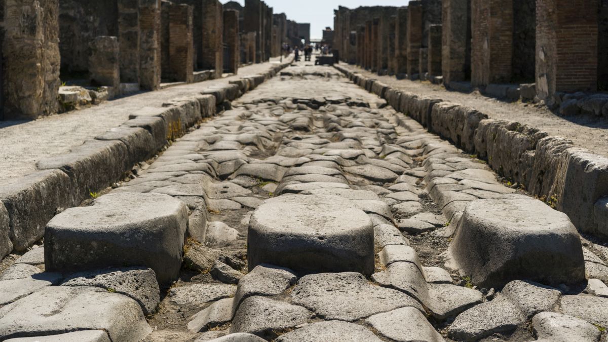
A new map called Itiner-e has nearly doubled the known length of the ancient Roman road network to 300,000 km, revealing that only about 3% of these roads are precisely mapped. The project compiles extensive historical and archaeological data, showing that many Roman routes are still in use today and highlighting the need for further research to fully understand the empire's extensive infrastructure.
- Massive New Map Reveals 300,000 Km of Ancient Roman Roads ScienceAlert
- Itiner-e: A high-resolution dataset of roads of the Roman Empire Nature
- Archaeologists create map for exploring ancient Roman Empire roads. Here’s how to see it CNN
- All roads in ancient Rome stretched far longer than previously known, study shows AP News
- Digital map lets you explore the Roman Empire's vast road network New Scientist
Reading Insights
Total Reads
0
Unique Readers
1
Time Saved
4 min
vs 5 min read
Condensed
93%
841 → 63 words
Want the full story? Read the original article
Read on ScienceAlert