Tag

Landscape Evolution

All articles tagged with #landscape evolution

Cosmic clocks in zircon reveal Australia’s ancient landscape history
science-tech1 month ago

Cosmic clocks in zircon reveal Australia’s ancient landscape history

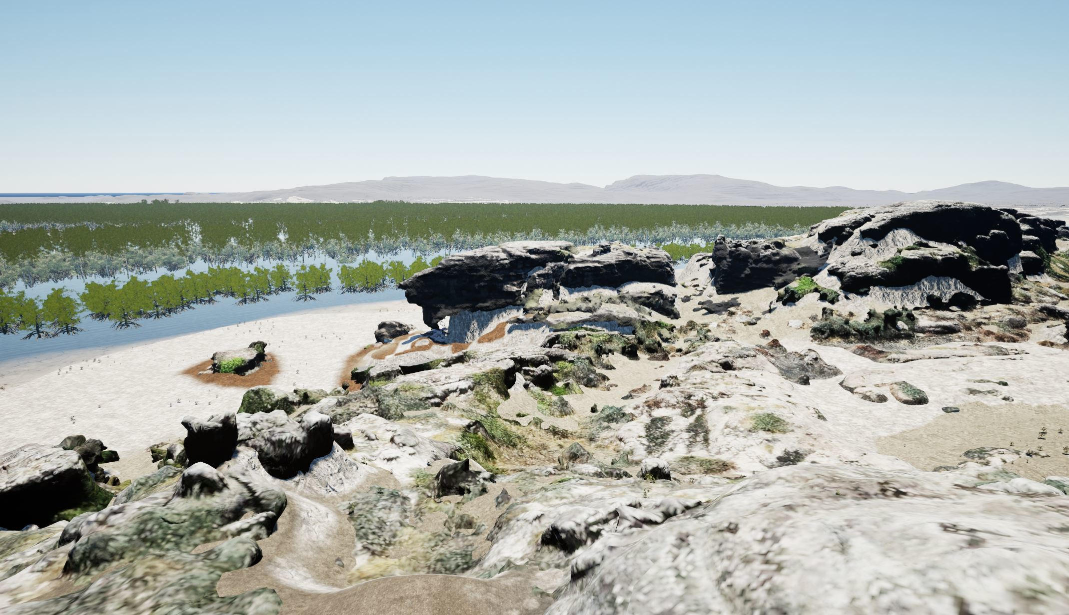
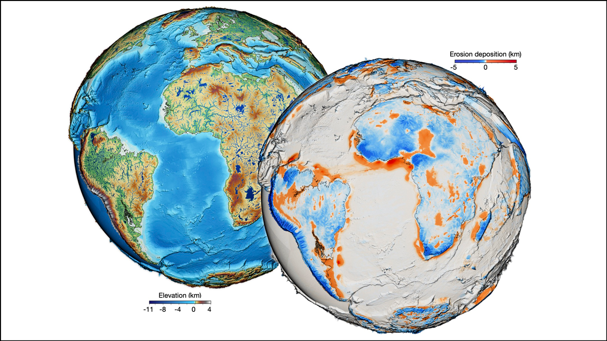
Scientists read a “cosmic clock” in tiny zircon crystals to trace Australia’s ancient surface changes. By measuring cosmogenic krypton trapped in zircon from buried beach sands near the Nullarbor Plain, they estimate extremely slow erosion about 40 million years ago, revealing a long-stable landscape and explaining zircon-rich deposits. The approach provides a new long-term clock for Earth’s surface history and could illuminate landscape responses to major events like the rise of land plants, with implications for mineral wealth as well.

"Uncovering Earth's Oldest Fossil Forest: A 390-Million-Year Mystery"
science2 years ago

"Uncovering Earth's Oldest Fossil Forest: A 390-Million-Year Mystery"

Researchers have discovered the earliest fossil evidence of ancient forests in the British record, shedding new light on the early evolution of Earth’s land-based biosphere. The findings focus on the Middle Devonian Hangman Sandstone Formation in Southwest England, revealing an ancient forest landscape dominated by cladoxylopsid trees. These trees, with hollow trunks and twig-like structures, played a key role in shaping the earliest ‘modern’ riverbanks and significantly changed Earth’s landscapes and biosphere during the Devonian period, providing compelling evidence of tree-driven changes to physical environments.

"Uncovering the Mysteries of Arnhem Land's Renowned Rock Art Sites"
archaeology2 years ago

"Uncovering the Mysteries of Arnhem Land's Renowned Rock Art Sites"

New research from Flinders University in collaboration with Njanjma Rangers and Erre Traditional Owners has revealed that the selection of rock art sites in Arnhem Land was not random, but rather intentional, based on crucial vantage points offered by the landscape. The study used aerial and drone surveys, subsurface imaging, and elevation data to create high-resolution palaeolandscape modeling, shedding light on the environmental conditions 15,000-28,000 years ago. The research shows how the landscape changes, particularly due to rising sea levels, impacted the placement and use of rock art sites, providing insights into the relationships between the art and the evolving landscape.

The Ultimate Surface Model: Is It Possible?
earth-science2 years ago

The Ultimate Surface Model: Is It Possible?

Geoscientists have developed a high-resolution, continuous model of Earth's geologically recent evolution, providing a global perspective on the relationships between sediment transfer and Earth's physiographic changes. The model evaluates the evolution of Earth's surface globally, considering interactions with tectonics and activities and processes in the mantle, hydrosphere, and even atmosphere. The simulations yielded high-resolution maps showing the physical landscapes and water drainage networks of Earth on a global scale for the past 100 million years, which could help scientists foresee phenomena as varied as how oceans will evolve in response to climate change, the impact of tectonics, and how sediment transport will regulate our planet's carbon cycle.