DC Metro Snowfall Forecasts Converge Across Four Networks
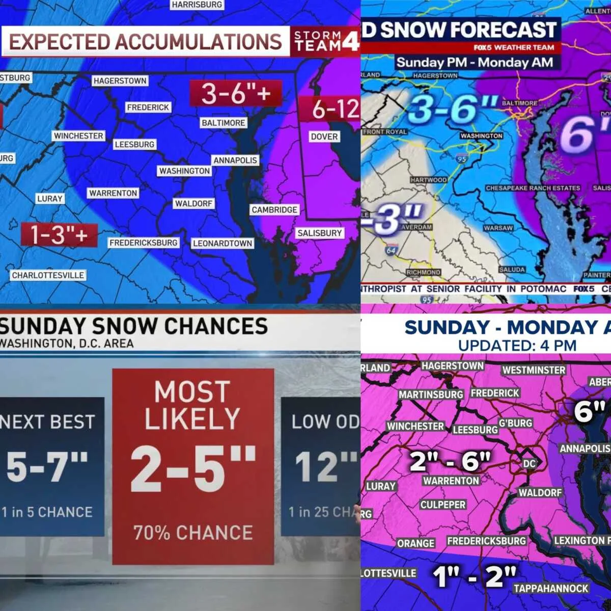
Four major local networks (NBC4, FOX5, ABC7, WUSA9) released updated snowfall maps for the DC region, with most areas expected to see 2–6 inches and higher totals in places like eastern Howard County (FOX5) and elevations above 1000 feet. ABC7 is using a probability-based approach, placing many areas in the 2–5 inch “most likely” range. Winter Storm Warnings cover central/north-central Maryland, northern/northwest Virginia, and the eastern panhandle of West Virginia, while a DC-area Winter Weather Advisory calls for lighter but impactful snowfall.