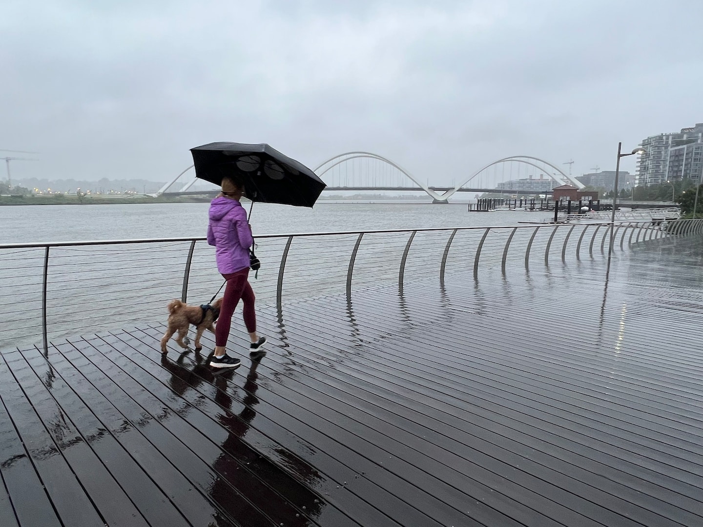
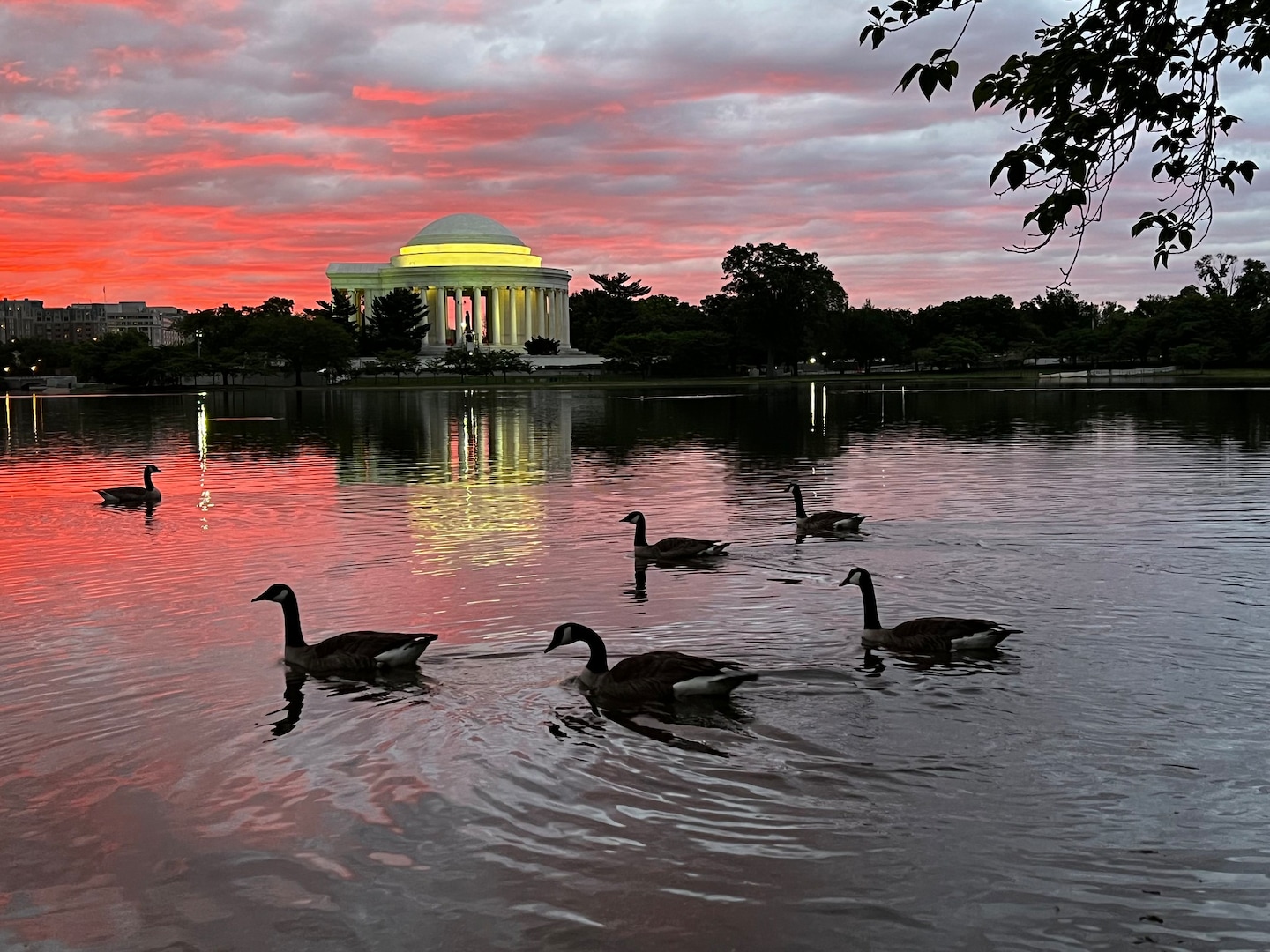
The D.C.-area forecast calls for cloudier skies and midday showers today, with temperatures in the 70s, followed by a few evening showers and thundershowers. Tomorrow is expected to be sunnier and warmer, with highs in the mid-70s to near 80. Showers are possible late Friday into the weekend, with temperatures remaining generally mild before cooling down on Sunday.
Chicagoland has been experiencing a week of cloudy weather with no sunshine, but southwest winds are expected to clear some clouds on Monday, with temperatures remaining well above average for late January and possibly reaching the upper 40s by later in the week. Pockets of fog and spotty showers are expected on Sunday, with a rain/snow mix possible overnight Monday into Tuesday. The extended outlook includes more sun on Wednesday and temperatures in the mid to upper 40s on Thursday, marking the halfway point of astronomical winter on Groundhog Day.
Philadelphia will experience a cloudy morning with some rain tapering off, followed by sunshine in the afternoon. Thanksgiving Day will be mostly sunny with temperatures in the 40s and 50s, making it a tranquil day for outdoor activities. The 7-day forecast shows partly cloudy conditions with temperatures ranging from the 50s to the 20s.
The D.C.-area forecast calls for rain tapering to drizzle today, with cloudy and cool conditions expected through midweek. The remnants of Ophelia will bring areas of rain in the morning, transitioning to drizzle in the afternoon. Winds will be lighter, with temperatures ranging from the mid-60s to upper 60s. Cloudy skies and occasional showers will persist through midweek, keeping temperatures below average in the 60s to near 70.
A low pressure zone is bringing cooler temperatures and daily rain chances to the D.C. area, with the potential for 2 to 5 inches of rain over the next week. Highs will stay mostly cooler than normal, with temperatures struggling to hit 70 on Wednesday. Breezy winds from the east and intermittent rain showers are expected throughout the week, with scattered showers and storms likely over the weekend.
Showers will continue through early evening, with skies clearing up as the sun sets. There is a slight chance of a passing sprinkle tonight, with lows ranging from near 40 to the mid-40s. Tomorrow will be partly sunny with temperatures reaching the mid-60s for highs, but winds out of the northwest will still be gusty, adding occasional chill.
The DC-area will experience another day of cloudy skies and occasional light showers with highs in the mid- to upper 50s. However, warmer and sunnier weather is on the way, with temperatures reaching the mid-60s to mid-70s from Friday through Sunday. There is a chance of isolated showers on Thursday, but skies should brighten and become mostly clear by Friday.
The DC-area will continue to experience cloudy, breezy, and somewhat chilly weather with light showers possible through Thursday due to a large, upper-level swirl of low pressure stalled over the Great Lakes. However, high pressure is forecast to take over by Friday, potentially delivering a very nice spring weather situation for the first weekend of May with mostly sunny skies and temperatures reaching around 70 on Saturday and the lower to middle 70s by Sunday.
Cloudy and cool weather is expected in the Tri-State area with temperatures in the low 50s during the day and low to mid 30s at night, with a chance of frost. Tuesday will be milder with mostly cloudy skies and temperatures in the low 60s. Rain is expected later in the week and into the weekend, with the best chance on Saturday. A Frost Advisory has been issued for most counties in the area except for Adams, Clinton, and Highland counties, which are under a Freeze Warning.
The first full day of spring was warm and sunny, but clouds are expected to increase through Wednesday with a chance of a passing shower. Temperatures will remain warm, with highs in the mid-60s. Pollen levels are low, and the average high for the District is expected to reach 60 on March 25 and 70 on April 19.
The first full day of spring in the D.C. area will be mostly sunny with temperatures reaching around 60 to 65 degrees Fahrenheit. Clouds will return on Wednesday with a chance of light showers, but temperatures will still be in the upper 50s to low 60s. A warm front will bring the first 70s of March on Thursday and Friday, with scattered showers possible. The weekend will be cooler with clouds and light showers on Saturday and sunny skies on Sunday with temperatures in the mid-60s.
Temperatures will remain warm through Friday with highs in the mid-60s, but clouds will increase and some light showers may occur in the afternoon and evening. Cooler conditions will return for the weekend with the possibility of showers. Tree pollen is low.