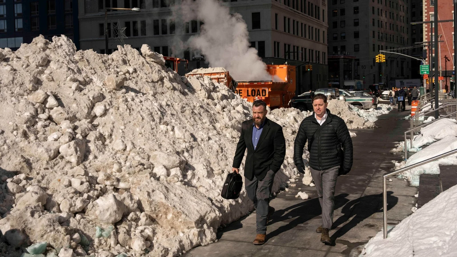
Frigid Front Lingers Over the Tri-State as Shelters Open and Outages Persist
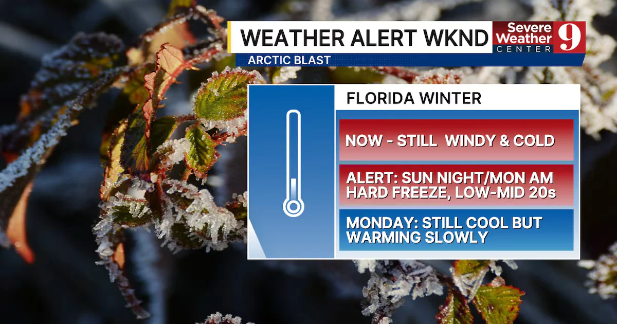
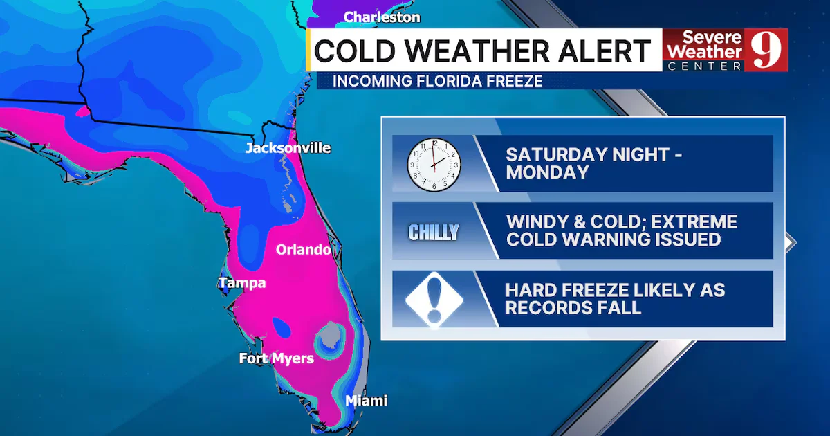
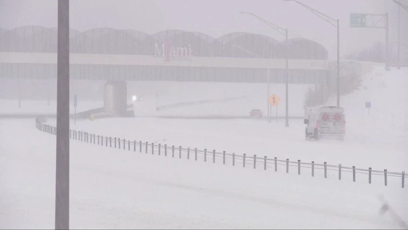
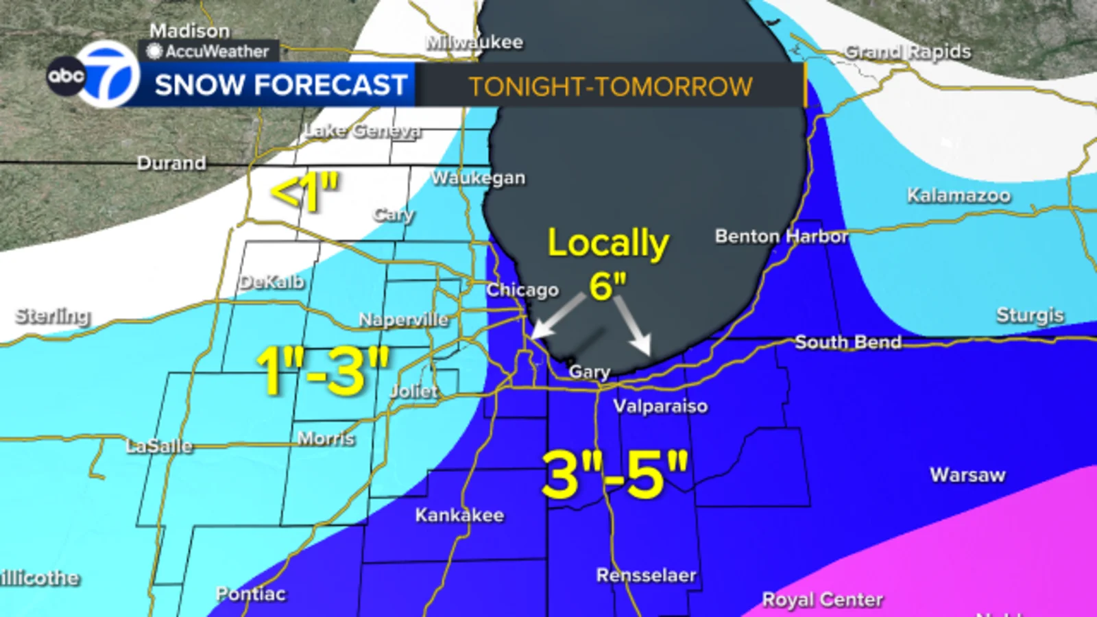
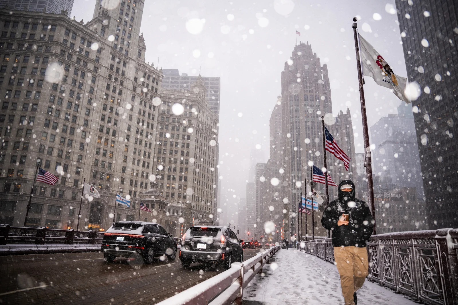
The Tri-State area, including NYC, New Jersey and Connecticut, remains in a brutal cold spell with wind chills as low as 5–10 degrees below zero; warming shelters stay open, hundreds in Brooklyn lose power due to snow and road-salt issues, and officials warn frostbite can occur quickly as more Arctic cold and winter hazards loom this week.