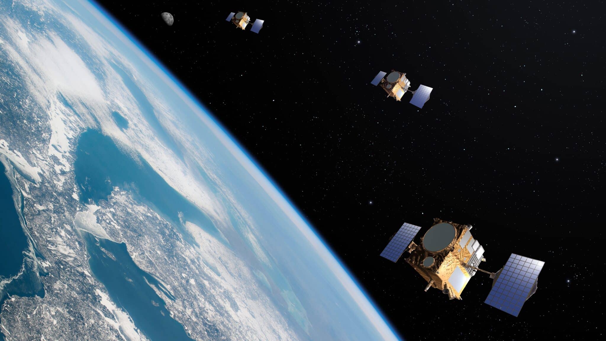
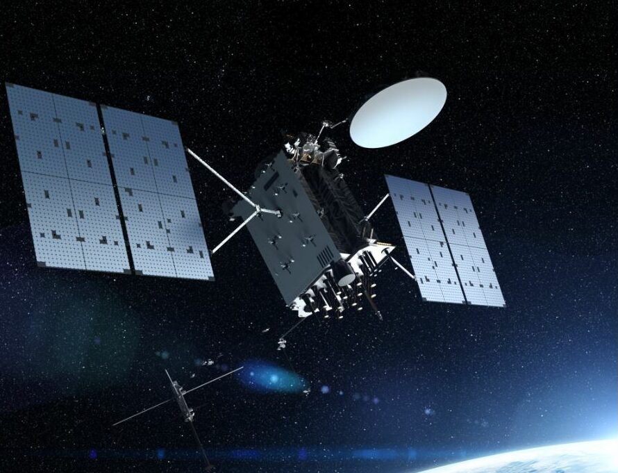
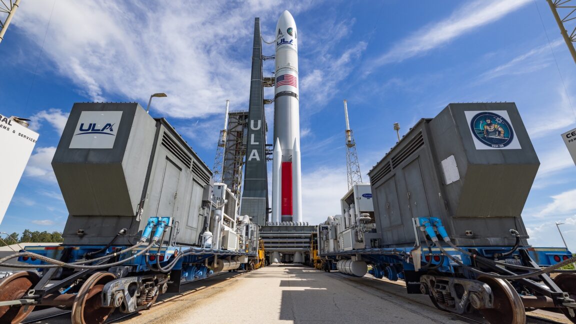
Tag

Satellite Navigation

All articles tagged with #satellite navigation

science5 months ago

Starlink Satellites Disrupt Astronomical Observations and Cosmic Research

Scientists rely on tracking distant black holes via radio telescopes to precisely measure Earth's position for satellite navigation and Earth observation, but increasing human-made radio signals from wifi, mobile phones, and satellites are congesting the radio spectrum, threatening these critical measurements. To address this, international cooperation is needed to allocate more radio spectrum lanes and establish radio quiet zones, ensuring the continued accuracy of geodetic measurements essential for modern technology and infrastructure.

science6 months ago

Wi-Fi and Phone Satellites Obstruct Scientists' View of Black Holes and the Universe

Scientists rely on radio signals from distant black holes to precisely measure Earth's position for satellite navigation and observation, but increasing human-made radio signals from Wi-Fi, mobile phones, and satellites are causing interference, threatening these essential measurements. To address this, international cooperation is needed to allocate more radio spectrum lanes and establish radio quiet zones, ensuring the continued accuracy of geodetic measurements and satellite services.

science-and-technology1 year ago

"China Plans Lunar GPS with Satellite Cluster"

Chinese scientists plan to develop a high-precision satellite-based navigation system around the moon, involving 21 satellites in four types of orbits, to support lunar exploration and provide accurate positioning data. This initiative aims to enhance navigation, communication, and monitoring for future lunar missions, with similar plans also being pursued by the US, Japan, and Europe.

space-technology1 year ago

"ESA Contracts Thales Alenia Space for Radar Instrument Development on Earth Explorer Harmony Satellites"

The European Space Agency has awarded contracts worth 233.4 million euros for its FutureNAV program, including missions called Genesis and LEO-PNT. Genesis, led by OHB Italia, aims to improve the International Terrestrial Reference Frame (ITRF) with a suite of instruments, while LEO-PNT, led by GMV Aerospace and Defence and Thales Alenia Space, will test the feasibility of a low Earth orbit satellite constellation to enhance positioning, navigation, and timing (PNT) services. These missions are part of ESA's efforts to meet the growing demand for more resilient and precise navigation systems.

space-technology1 year ago

"ESA's Precision Navigation Missions: Advancing Earth Measurement and Satellite Technology"

The European Space Agency is investing €76.6 million in the development of Genesis, a flying observatory that will provide positioning services accurate to a single millimeter by co-locating various Earth-measuring techniques on board. This will contribute to the International Terrestrial Reference Frame (ITRF) and benefit fields such as aviation, traffic management, climate change monitoring, and more. Additionally, the agency has allocated separate funds for the Low Earth Orbit Positioning Navigation and Timing demonstrator (LEO-PNT) to improve positional accuracy and test new signals and frequency bands for satnav systems. Both Genesis and LEO-PNT are part of the FutureNAV program and are expected to launch by 2028.

technology2 years ago

The Future of GPS: Experts Question U.S. Commitment and Share Origin Stories

Members of the National Space-Based Positioning, Navigation and Timing Advisory Board expressed concerns about the U.S. military's commitment to modernizing the Global Positioning System (GPS), warning that it is at risk of falling behind satellite navigation systems developed by Europe and China. The board criticized the lack of funding for the planned GPS enhancement called High Accuracy and Robustness Service (HARS) and the insufficient number of satellites broadcasting the civilian L5 GPS signal. They fear that without adequate resources and leadership advocacy, GPS could lose its competitive edge. The U.S. Space Force is working on consolidating its PNT units and developing the next-generation ground system for the GPS constellation, but concerns remain about the reorganization and the need for clear lines of command and advocacy for future capabilities.

science-and-technology2 years ago

"Fibonacci's Expertise Enhances Lunar Satnav Technology"

Future satellite navigation systems for the Moon may benefit from a model developed using methods inspired by mathematician Fibonacci. NASA and ESA have proposed GPS-like satellite constellations around the Moon to provide accurate position, navigation, and timing services for lunar activity. However, current Earthly GPS systems do not consider the actual shape of the Moon, which is more spherical than the Earth. Scientists at Eötvös Loránd University in Hungary used lunar surface data and the Fibonacci Sphere to calculate the parameters of a rotating ellipsoid that best fits the Moon's shape. This more accurate representation could improve navigation systems for future lunar missions.

technology2 years ago

China's Beidou Poses Threat to U.S. GPS Dominance

China's Beidou satellite navigation system is posing a threat to the dominance of the U.S. GPS system. While GPS has been the go-to navigation system for both military and civilian use, China's Beidou is not only enhancing its military capabilities but also driving economic development and global influence. China has invested heavily in Beidou, integrating it with other infrastructure projects and subsidizing it through initiatives like Belt and Road and Digital Silk Road. The U.S. is working to bolster its own GPS system to maintain its dominance in satellite navigation technology.

science-and-technology2 years ago

Advancements in Quantum-Limited Timing for Geosynchronous Satellites

Scientists have successfully transmitted time signals across 300 kilometers with an accuracy and precision limited only by the quantum nature of photons. This breakthrough could revolutionize high-precision science using satellites, including satellite navigation and fundamental-physics experiments that test the general theory of relativity. The time signals from atomic clocks can now be transmitted between Earth and satellites without compromising their precision and accuracy.

space-technology2 years ago

Pentagon to Launch First Experimental Navigation Satellite in 50 Years.

The Pentagon is set to launch Navigation Technology Satellite-3 (NTS-3), the first experimental navigation satellite in 50 years, which could improve the nation's satellite-navigation capabilities. Developed by L3Harris Technologies, NTS-3 recently completed testing at the Benefield Anechoic Facility (BAF) at Edwards Air Force Base in California. The satellite will test technologies that allow GPS connections to be maintained in military conflict zones and will operate in a near-geosynchronous orbit for approximately one year.