Tag

Ocean Floor Mapping

All articles tagged with #ocean floor mapping

science26 days ago

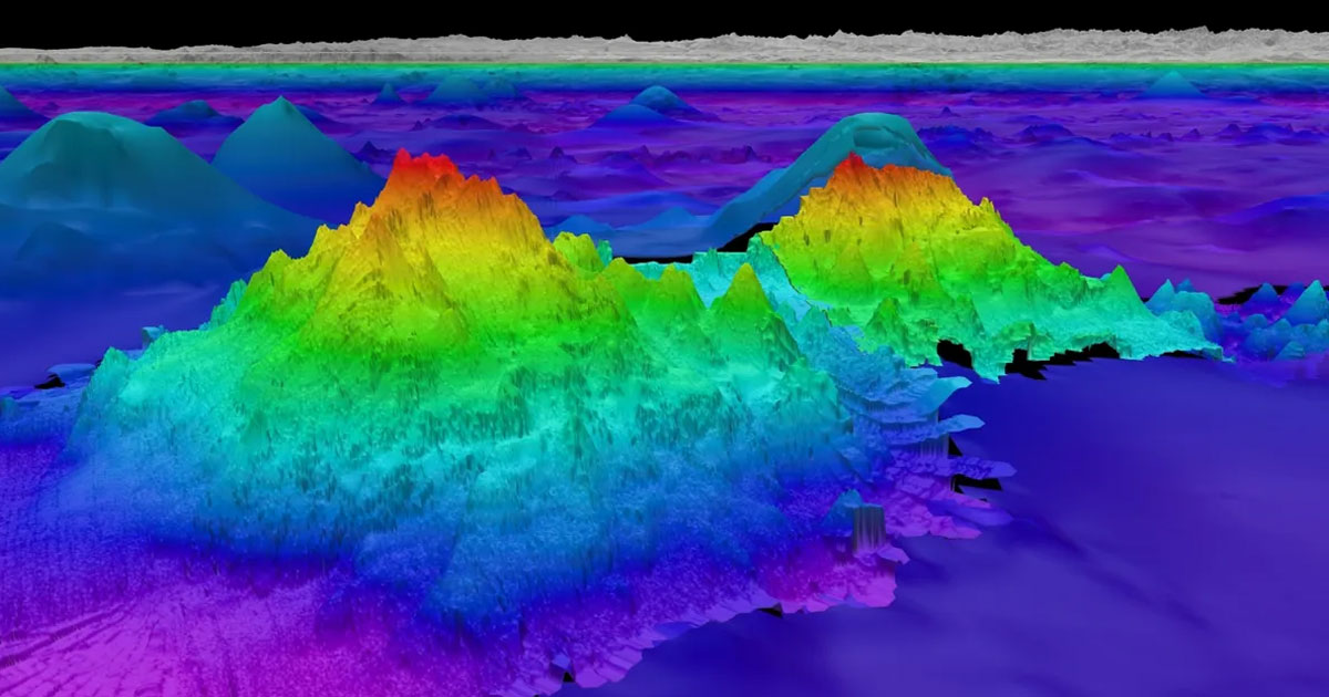
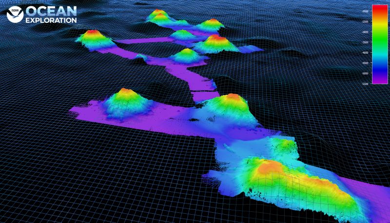
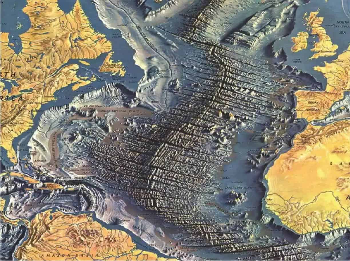
Pioneering Woman Reveals Stunning Atlantic Ocean Seafloor Map

Marie Tharp was a pioneering cartographer whose detailed maps of the Atlantic Ocean floor revealed the Mid-Atlantic Ridge and provided crucial evidence for the theory of plate tectonics, overcoming significant gender barriers and transforming earth science. Her work, initially overlooked, has gained recognition and continues to inspire oceanographic exploration today.

sciencediscovery1 year ago

"Unveiling the Mystery: Massive Underwater Mountains Discovered Through Gravity Anomalies"

A team of scientists aboard an exploration vessel off the coast of South America has discovered four massive underwater mountains, ranging from 5,200 to 8,800 feet tall, highlighting the vast unknowns of our planet's oceans. Using sonar equipment to investigate gravity anomalies, the team found these previously unknown seamounts, emphasizing the lack of comprehensive ocean floor mapping. With the potential for incredible biodiversity, further study of these underwater giants is crucial, and ongoing high-tech mapping techniques could greatly support conservation efforts.

environment2 years ago

"Scientists Map World's Largest Deep-Sea Coral Reef off US Atlantic Coast"

Scientists have used new underwater mapping technology to discover the largest deep-sea coral reef off the U.S. Atlantic coast, stretching for about 310 miles and reaching 68 miles wide at some points. This reef, found at depths ranging from 655 to 3,280 feet, provides habitat for a variety of marine life and covers more of the ocean floor than tropical reefs. The discovery highlights the importance of mapping the ocean floor to understand and protect these vulnerable ecosystems from climate change and human activities.

science2 years ago

Seals Uncover Antarctic Secrets with Style

Scientists have utilized Antarctic seals as "heroes" in mapping the ocean floor by attaching trackers to their heads. The deep-diving seals have revealed a massive underwater canyon over a mile deep in Vincennes Bay, Antarctica. This discovery may aid in predicting the response of the Antarctic ice sheet to climate change. Understanding the ocean geography and underwater features helps scientists understand past and future changes in the ice sheet and identify areas at higher risk of melting. The seals' annual shedding of fur ensures their well-being during the study.

science2 years ago

Discovery of 19,000 Undersea Volcanoes by Scientists

Scientists have discovered over 19,000 new seamounts, or ancient undersea volcanoes, using satellite data. The seamounts were found using a technique called satellite altimetry, which measures changes in sea surface height caused by the gravitational pull of the seamounts on the ocean floor. The discovery brings the total number of known undersea mountains to 43,454. Seamounts can provide information about the Earth's mantle, impact deep ocean currents, and serve as habitats for marine life.