Tag

Martian Landscape

All articles tagged with #martian landscape

space-exploration2 years ago

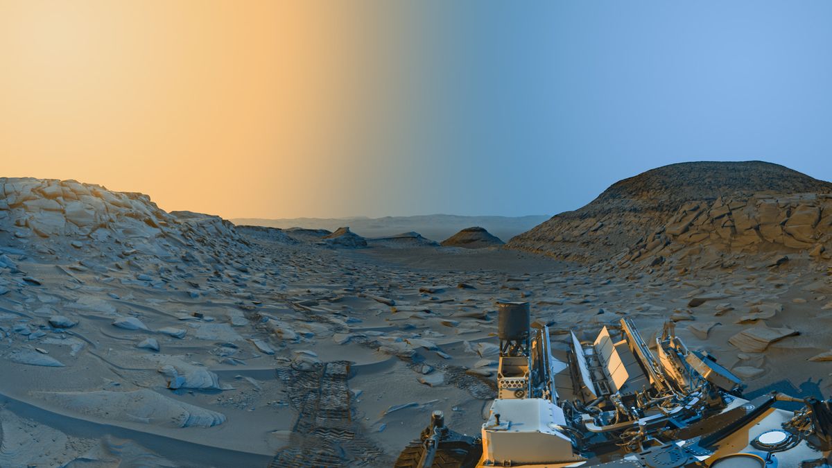
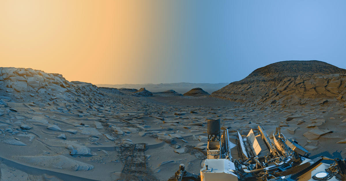
"Bizarre Polygon Structures Discovered Beneath Mars' Surface"

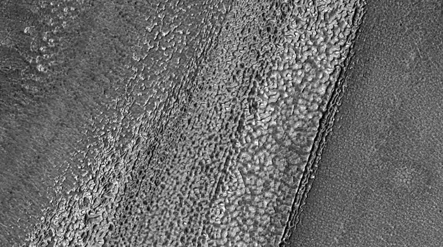
The Chinese rover Zhurong has discovered 16 polygonal structures buried beneath the surface of Mars, shedding light on the planet's geological history and past climate. These formations, believed to be the result of a freeze-thaw cycle, are much larger than those found on Earth. The discovery in Utopia Planitia, a significant impact basin, provides valuable insights into Mars' ancient landscape and potential changes in its axial tilt, offering new avenues for understanding the planet's past climate and atmospheric conditions.

space-exploration2 years ago

"Unusual Carvings and Ice Flows: NASA's Mars Orbiter Reveals Martian Mysteries"

NASA's Mars Reconnaissance Orbiter (MRO) has captured images of unusual ridged lines carved into the Martian landscape, which are actually natural formations caused by the movement of ice on the planet's surface. The MRO's high-quality imaging capabilities aid in the search for water on Mars and provide valuable information for future missions. These ridged patterns, found in various regions on Mars, reveal the presence of ice and help scientists understand the planet's geological history. The MRO also monitors weather patterns and collects data on minerals and water for potential future crewed missions and astrobiological research.

science2 years ago

Unprecedented Mars Horizon Views Revealed by NASA Orbiter

NASA's 2001 Mars Odyssey orbiter has captured rare panoramic images of Mars' curving landscape, clouds, dust, and one of its moons, Phobos, providing a unique perspective that no Mars spacecraft has ever had before. The images, taken from an altitude of about 250 miles, offer a view similar to what astronauts would see if they were in orbit over Mars. The captured images will contribute to further studies to determine if Phobos is a captured asteroid or a fragment of Mars blasted off its surface by an impact.

space2 years ago

"NASA Rover's Epic Journey Captures Breathtaking Mars Snapshot"

NASA's Curiosity rover successfully navigated rocky terrain to reach the scientifically intriguing Gediz Vallis Ridge on Mars' Mount Sharp. After a challenging climb, the rover turned around and captured a stunning image of the Martian landscape, showcasing mountains in the distance, the rocky terrain it traversed, and the cylindrical part of the rover used for relaying messages. The mission aims to uncover Mars' ancient history and the possibility of past life on the planet.

space2 years ago

Curiosity rover captures stunning time-lapse postcard of Martian landscape.

NASA's Curiosity rover captured a detailed "postcard" of the Martian landscape, showing the sunlight shifting between morning and afternoon. The rover took the photo after waking up from a software update nap, which included 180 individual upgrades. The new panorama is a composite of two images, one taken in the morning and the other in the afternoon, creating an image with much greater detail than a standard photograph. This is the second time that Curiosity has captured an image in this way, but the latest postcard is much more detailed than its first attempt.

space2 years ago

"Curiosity rover captures stunning postcards of Mars' landscape and sky"

NASA's Curiosity rover captured a panoramic photo of Mars showing the planet's landscape at different times of day. The photo was taken on a clear day and shows landmarks such as "Marker Band Valley," two hills named "Bolivar" and "Deepdale," and the rim of the Gale Crater. The photo also captures the rover's tracks across the dusty Martian landscape. The images were taken with black-and-white navigation cameras and color was added to create a "postcard" effect. The photo teaches researchers about the way the sun and shadows move on Mars.