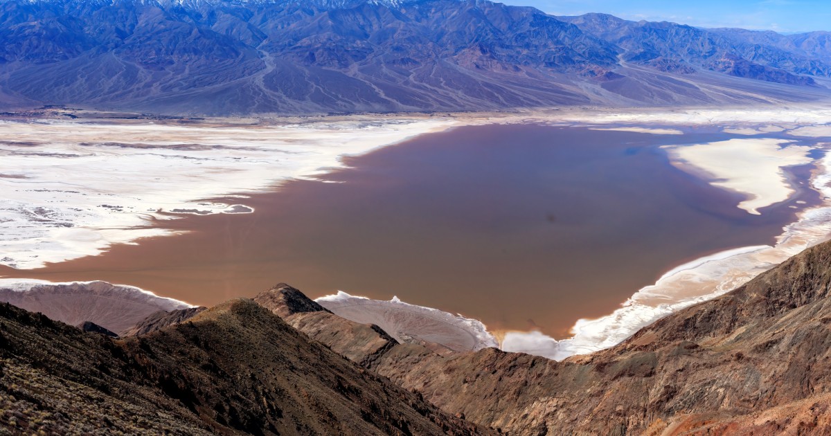
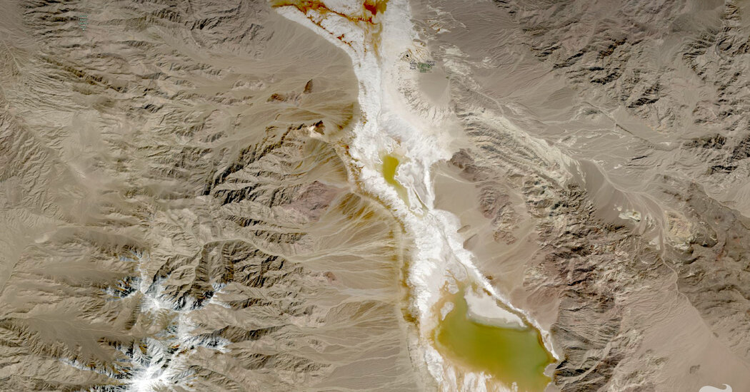
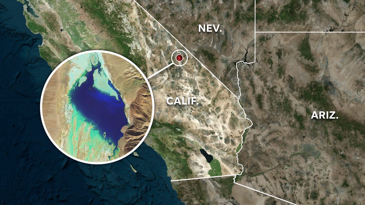
"Unveiling the Depth of Death Valley's Ephemeral Lake with SWOT Satellite Imagery"
NASA-led analysis using the U.S.-French SWOT satellite calculated water depths in Death Valley's temporary lake, ranging from about 3 feet to less than 1.5 feet over six weeks, showcasing the satellite's capabilities. The lake, known as Lake Manly, experienced varying water levels and dimensions, with SWOT providing crucial data for understanding unique lake systems. SWOT's KaRIn instrument, a Ka-band radar, is instrumental in measuring water surface levels and providing detailed views of Earth's water bodies, filling data gaps for inland features like lakes and rivers.