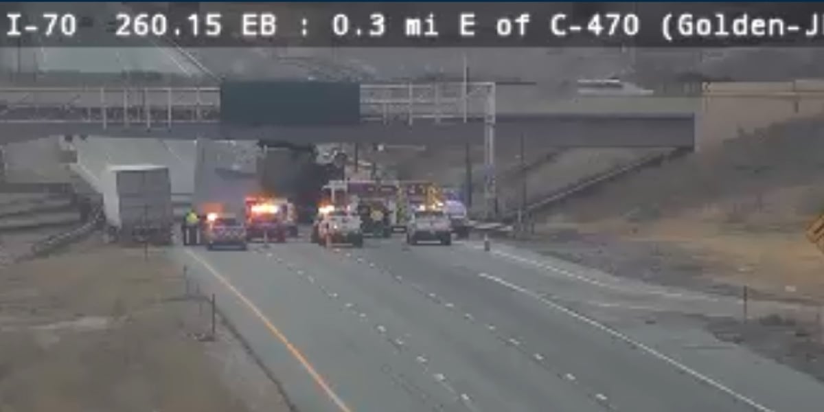
Kansas City braces for heavier snowfall as winter storm shifts north
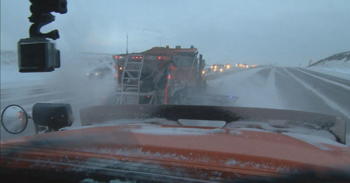
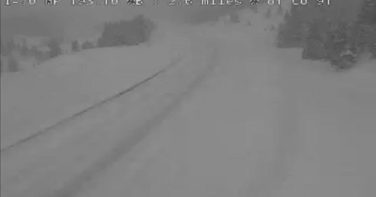
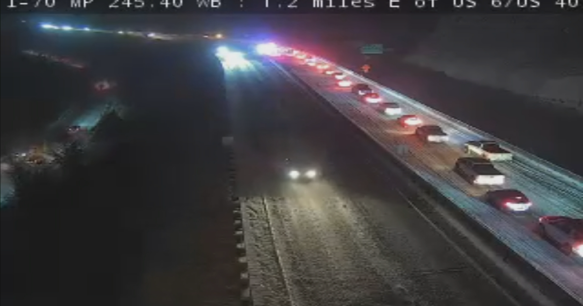
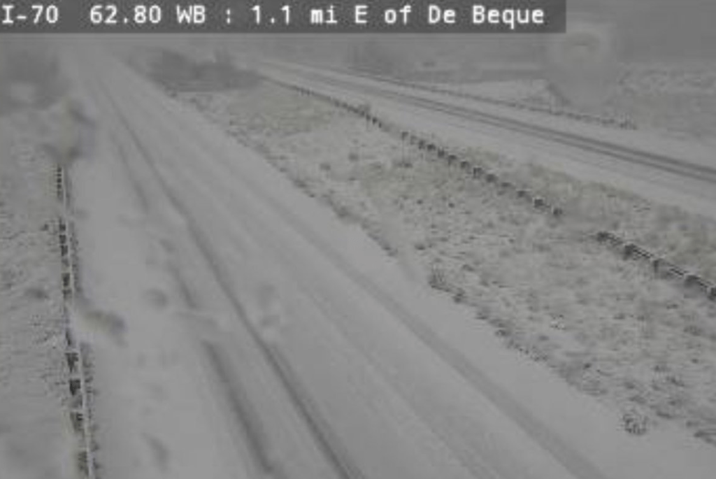
A winter storm tracking northward is bringing higher snowfall to the Kansas City area, with 8–9 inches expected along I-70, and 11–12 inches farther south; north of KC, 6–8 inches between I-70 and US-36 and under 4 inches farther north. Snow should begin late Friday night, arrive metro-wide between midnight and 3 a.m. Saturday, with heaviest snowfall Saturday morning; winds 20–25 mph, gusts to 30 mph, and blowing snow could reduce visibility. The system may linger into Sunday morning, while dangerously cold wind chills below zero are forecast for more than 48 hours. Start time uncertainties of 2–3 hours could shift totals.