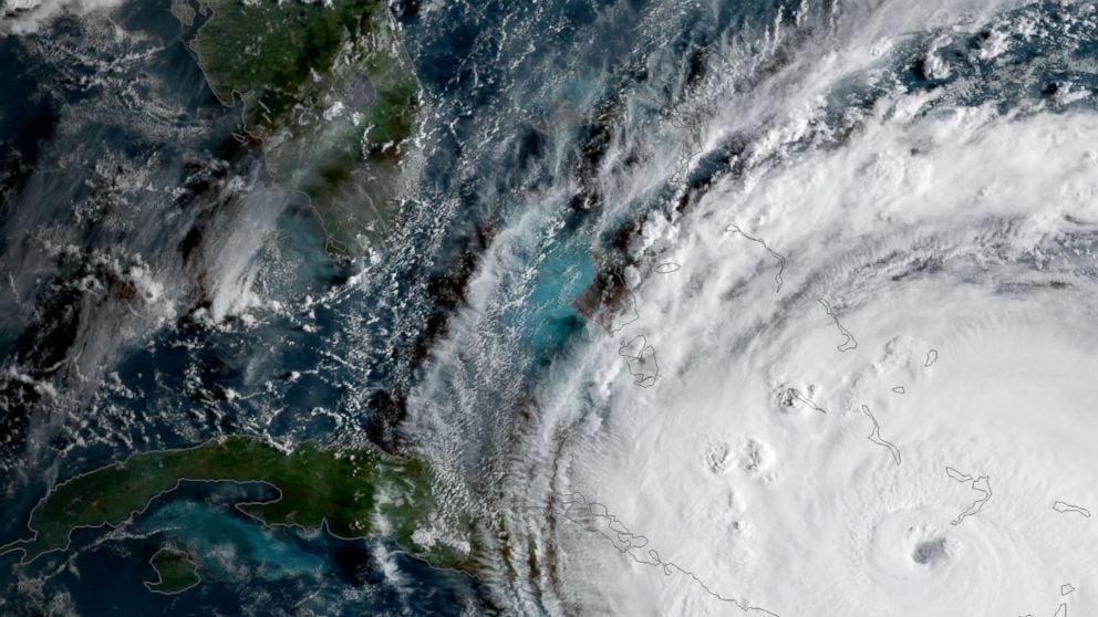
Meteorologists are losing a crucial tool, the SSMIS satellite data, which provides detailed internal views of hurricanes, potentially impacting the accuracy of hurricane forecasts this season and beyond, as NOAA ends its data services from this satellite system.
The U.S. Department of Defense will cease sharing satellite weather data used for hurricane forecasting and sea ice monitoring, raising concerns about potential gaps in real-time data crucial for predicting storm intensification and tracking climate change impacts, despite assurances from NOAA that forecast accuracy will remain unaffected.
The US Department of Defense is discontinuing the critical DMSP satellite program by June 30, 2025, which could significantly impair hurricane forecasting and Arctic sea ice monitoring, raising concerns among scientists about the loss of vital data and the potential impact on weather prediction accuracy.
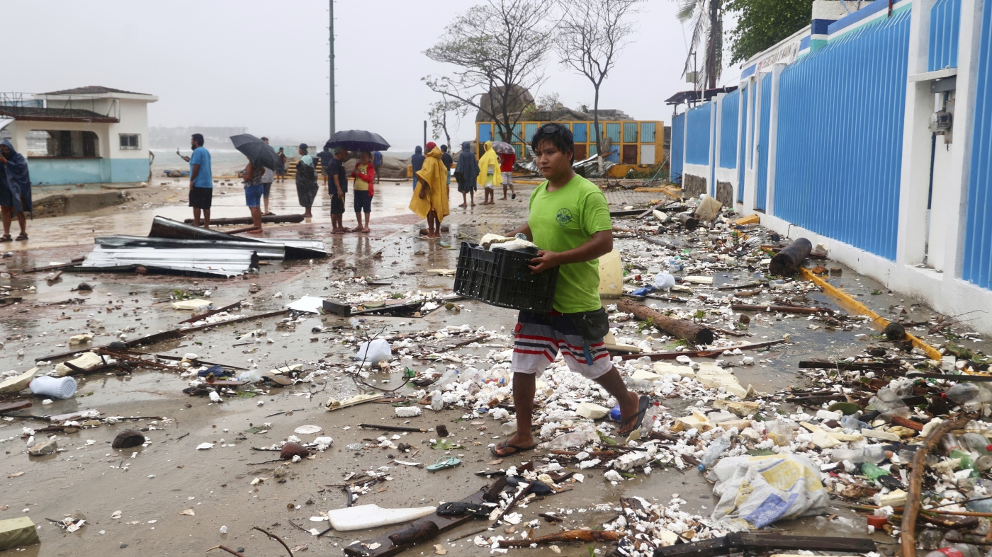
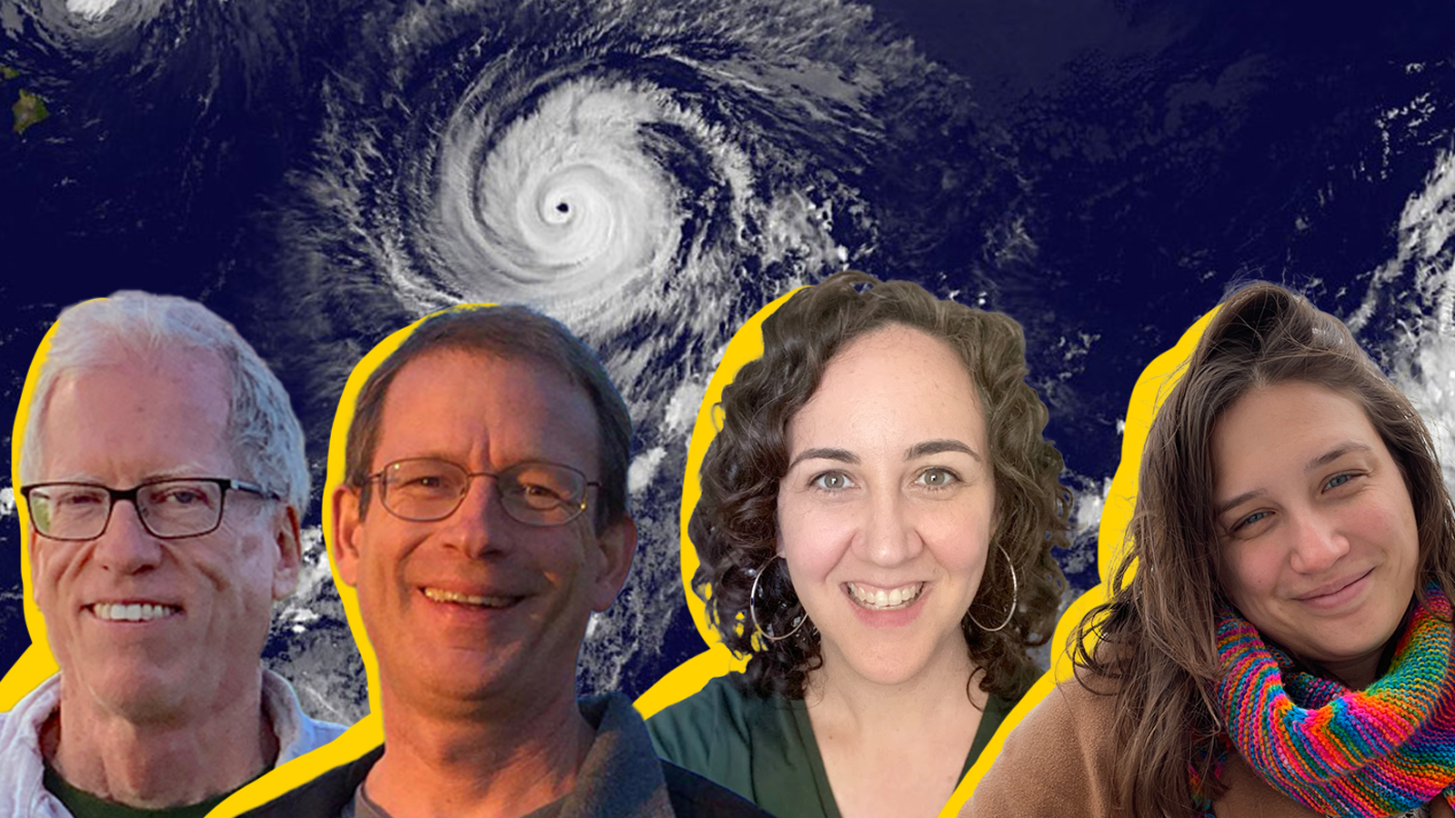
Meteorologists Jeff Masters and Bob Henson discuss the 2024 Atlantic hurricane season, highlighting the potential for an early start due to unusually warm ocean temperatures and the possibility of a busy season influenced by La Niña conditions. They emphasize the importance of hurricane coverage in understanding climate change impacts and share insights into their forecasting process and personal strategies for managing the demands of storm coverage.
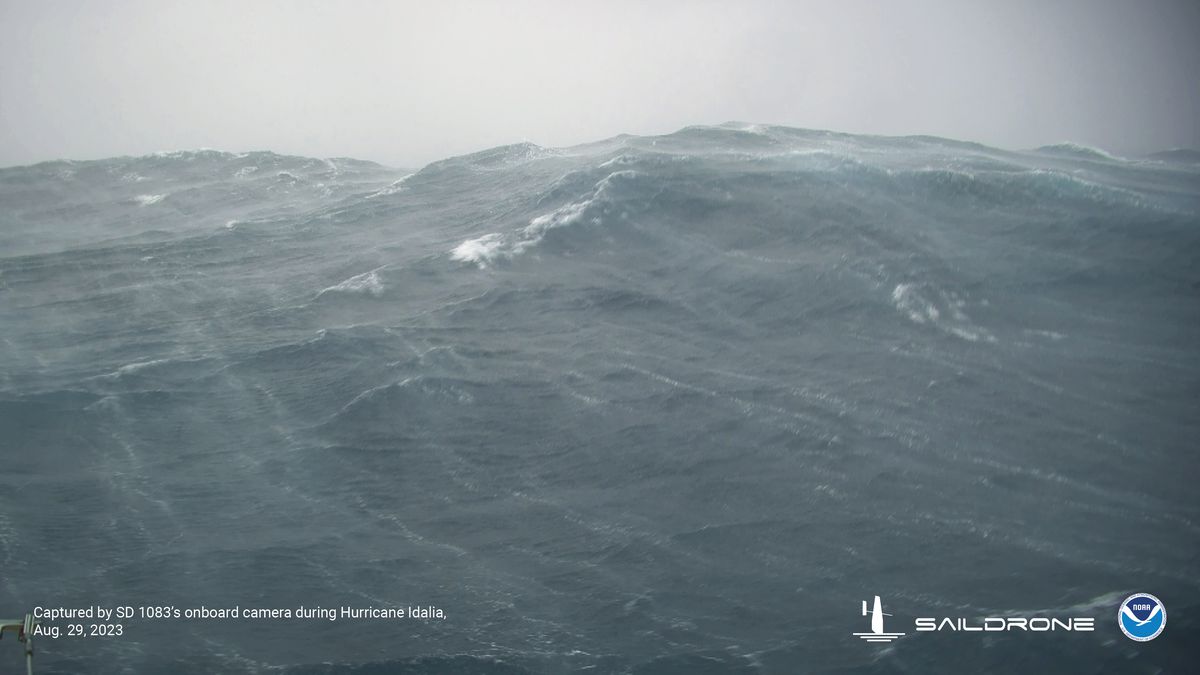
A saildrone, an unmanned research vehicle, captured dramatic footage of Hurricane Idalia in the Gulf of Mexico, offering valuable insights into the environment rarely seen by humans. The footage could help improve hurricane forecasting, particularly in predicting rapid intensification. Saildrone is working with the National Oceanic and Atmospheric Administration (NOAA) to study what happens at the surface where wind meets water. NOAA is currently using 12 unmanned saildrones strategically placed in areas where hurricanes frequently occur. The saildrones provide measurements that other tools cannot, enhancing our understanding of hurricanes and their behavior.
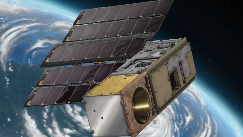
NASA is set to launch a new mission called TROPICS, designed to improve hurricane forecasting just ahead of the 2023 Atlantic hurricane season. The mission includes a constellation of CubeSats that will observe tropical cyclones from low-Earth orbit, making more frequent observations than current weather-monitoring satellites. The four satellites, each weighing 12 pounds and about the size of a loaf of bread, will capture hourly observations of the precipitation, temperature, and humidity of tropical storms. The data collected will be shared with the National Oceanic and Atmospheric Administration, the Joint Typhoon Warning Center, the National Hurricane Center, and other partners.