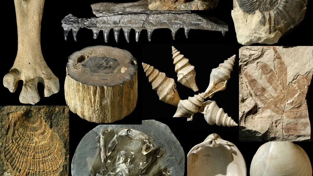
New Zealand hosts FRED, the world's first nearly complete open-access fossil database, initiated in 1946 by geologist Harold Wellman. FRED contains over 100,000 entries, primarily from New Zealand, and is a vital resource for paleontologists worldwide. Despite its success, concerns arise over future contributions due to reduced science funding in New Zealand. The database remains a crucial tool for understanding the region's fossil history and facilitating international research collaborations.
The U.S. Geological Survey has released a color-coded map indicating that nearly 75% of the continental United States, as well as Alaska and Hawaii, could experience a damaging earthquake within the next century. The map, the first to include all 50 states, aims to help geologists and engineers prepare for looming threats to the nation's infrastructure. The study identifies the central and northeastern Atlantic Coast, California, Alaska, and Hawaii as high-risk areas for earthquakes, with the report highlighting a long history of seismic activity across the country. The map provides crucial insights for architects, engineers, and policymakers as they design and construct buildings, and includes nearly 500 additional faults with potential to produce damaging shakes in the future.
Scientists from the U.S. Geological Survey (USGS) conducted research at Allison Lake in Alaska to study past earthquakes. Despite challenging weather conditions, they successfully assembled a boat equipped with sound-wave producing instruments to map the lake floor and identify evidence of underwater landslides caused by earthquakes. This technique, known as lacustrine slump deposits, provides valuable information for predicting future earthquakes and informing building codes. The scientists are compiling data from Allison Lake and other lakes in Alaska to create a comprehensive history of earthquakes in the region.
The Canton area has experienced its seventh earthquake in just two weeks, according to the US Geological Survey. The latest quake, which measured 2.2 on the Richter scale, occurred on Monday morning. The previous six quakes ranged in magnitude from 1.4 to 2.5. The cause of the seismic activity is not yet known.
The North Dakota Geological Survey has discovered a massive deposit of rare earth minerals in the Williston Basin, which could help reduce the US's reliance on foreign sources of these critical minerals. The Bear Den Member of the Golden Valley Formation, covering 340 square miles over west-central North Dakota, contains up to 2,570 parts per million rare earth elements, the highest spot concentration ever reported from North American coal deposits. The discovery could have significant implications for national security and energy infrastructure.