A mix of snow, sleet, and rain is impacting Philadelphia, causing hazardous road conditions, travel delays, and a challenging cleanup, with temperatures dropping to 30°F and most snow falling as sleet, prompting safety warnings and speed reductions on major highways.
Wintry weather brought heavy snow, rain, and gusty winds to New England and California, causing power outages for thousands of residents. New England saw over 2ft of snow, leading to road accidents and downed power lines, while California experienced a winter storm warning with strong winds and heavy snowfall. The storm also caused flight delays and cancellations in the affected areas. Another significant winter storm is expected to hit the Rockies, Plains, and upper Midwest, bringing heavy snowfall and strong winds.
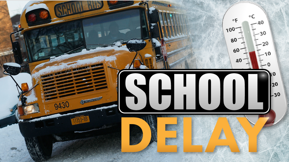
Multiple school districts in Middle Tennessee and Southern Kentucky will be closed or have a delayed start on February 13 due to wintry weather. Some of the affected districts include Benton County Schools opening at 10:00 AM, Clay County Schools in Celina opening at 10:00 AM, and Perry County Schools in Linden opening at 9:45 AM.
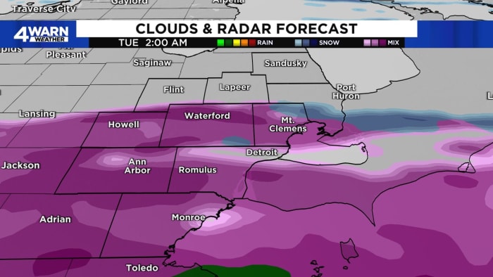
Wintry weather, including snow and a wintry mix with freezing rain, is expected to impact Southeast Michigan on Monday and Tuesday, potentially leading to icy and slick road conditions. A 4Warn Weather Alert has been issued for Tuesday morning, with the wintry mix likely transitioning to rain by the afternoon. Temperatures will remain relatively steady throughout the week, with above-average temperatures in the upper 30s and lower 40s, along with good chances of rain showers.
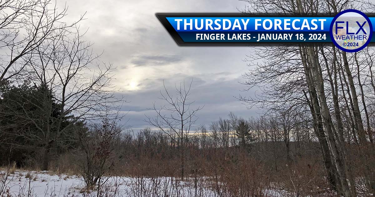
Wintry weather is expected to continue into the weekend with periods of snow likely, leading to potentially hazardous travel conditions on Friday and Saturday. Light snow showers are forecasted for today, with temperatures remaining cold and winds shifting to the west, then north, then northeast overnight. A new area of snow is expected to move in during the predawn hours on Friday, with steady snowfall throughout much of the day. Saturday will bring cold, blustery northwest winds, reinforcing the cold air and producing flurries and squalls south and southeast of Lake Ontario. Warmer weather is expected for much of next week, with the possibility of snow on Tuesday transitioning to rain, and another system possible for Friday and Saturday.
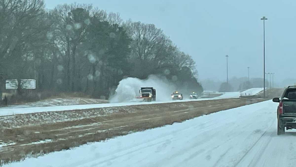
Wintry weather conditions have led to road closures across the metro area in Mississippi, with the City of Jackson and Madison taking measures to address extremely slick conditions by sanding and salting the streets. The Mississippi Department of Transportation reported ice on roads and bridges in 40 counties, urging people to stay weather-aware and only drive if absolutely necessary, while encouraging them to stay cozy at home.
Several school districts in the El Paso and Borderland area have announced delayed starts for classes on Monday morning due to potential cold overnight temperatures. Districts such as El Paso ISD, Ysleta ISD, Clint ISD, Gadsen ISD, Tornillo ISD, Canutillo ISD, El Paso Catholic Schools, and Fabens ISD are all monitoring the weather and have either announced a two-hour delay start or are planning to notify parents and guardians about any changes to the school schedule. Las Cruces Public Schools, however, will start on schedule and advised parents to send their children to school prepared for wintry conditions.
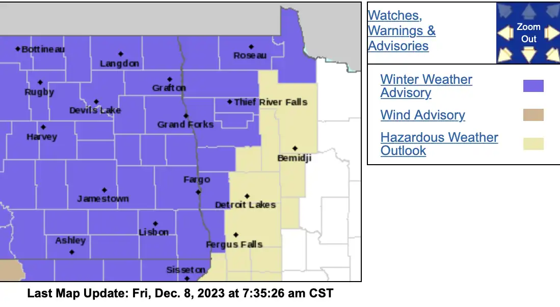
After one more mild day in southern Minnesota, a clipper system will bring cold air and rain and snow showers late on Friday. The wintry precipitation will spread statewide into Saturday, with snowfall expected in most areas. Northwestern Minnesota will see more significant amounts of 2 to 5 inches of snow. A winter weather advisory is in effect for northwestern Minnesota. Colder temperatures will continue over the weekend, but warmth will return next week, with highs reaching the 40s by Thursday.