Tag

Global Sea Levels

All articles tagged with #global sea levels

science1 year ago

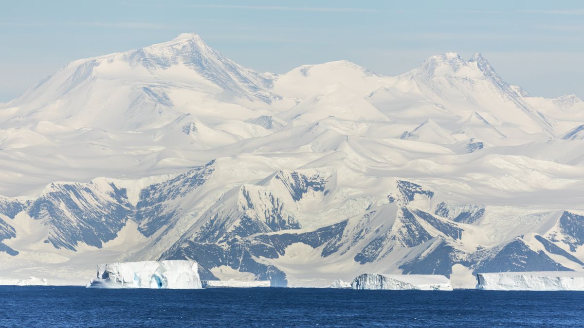
"Unstable East Antarctic Ice Sheet Nearing Tipping Point for Collapse"

A new study suggests that the Wilkes Subglacial Basin in East Antarctica, previously thought to be stable, may be closer to collapse than previously realized. Radar surveys revealed that the ice sheet could be close to thawing at its base, potentially leading to significant sea level rise. The research indicates that the area has been largely overlooked and underscores the need to understand how it could evolve and become more unstable in the face of climate change.

environment1 year ago

"Antarctic Ice Sheet Tipping Point: California-Size Collapse Imminent"

A new study suggests that the Wilkes Subglacial Basin, a massive ice sheet in East Antarctica, may be closer to collapse than previously thought due to potential thawing at its base. Radar surveys revealed large patches of thawed and frozen ground under the ice sheet, indicating a potential tipping point if temperatures at the base continue to increase. This discovery challenges the assumption of stability in East Antarctica's ice and raises concerns about its contribution to rising sea levels.

science-and-technology2 years ago

"NASA's SWOT Satellite: Mapping Earth's Vast Water Resources"

NASA's Surface Water and Ocean Topography (SWOT) satellite has provided stunning views of Earth's water, mapping the planet's global sea levels. The satellite collected data during its first full 21-day science orbit, revealing the varying surface heights of oceans, freshwater lakes, and rivers. Scientists are excited about the detailed information SWOT is providing, which will advance research on climate change and help communities prepare for a warming world. The satellite's Ka-band Radar Interferometer (KaRIn) instrument was used to create an animation showcasing sea surface height differences worldwide, highlighting ocean currents and regions of warmer water. SWOT's mission aims to measure water height over 90% of Earth's surface every 21 days, offering one of the most comprehensive views of Earth's water.