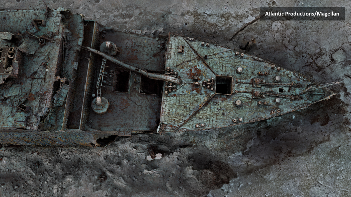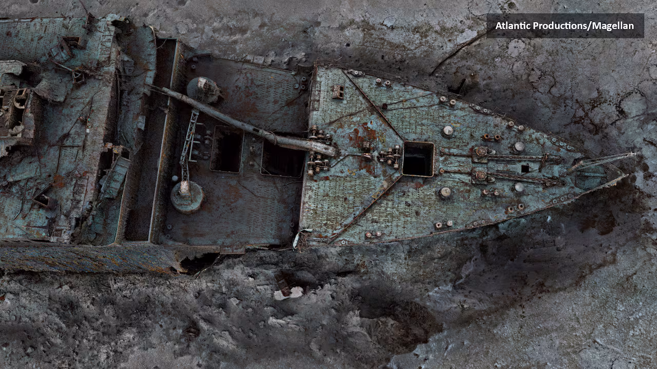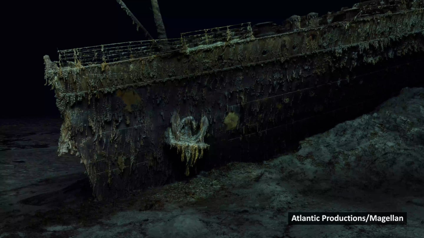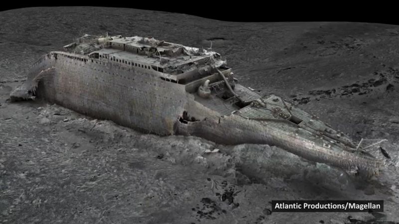
Unveiling the Astonishing Depths of the Pacific's "Grand Canyon"
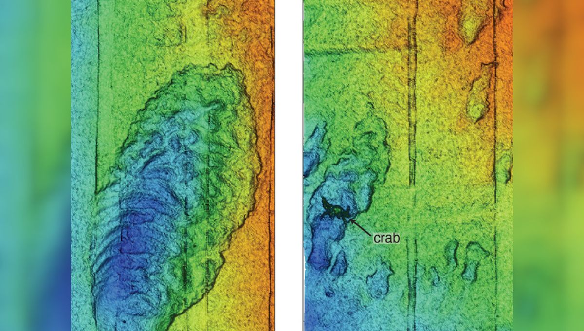
Scientists have successfully mapped the Monterey Canyon, an underwater gorge off the west coast of North America, with unprecedented detail using advanced sensor technology. The canyon, comparable in size and shape to the Grand Canyon, stretches for 153 kilometers (95 miles) and reaches depths of 4 kilometers (2.5 miles). The high-resolution data collected reveals not only the geological and geochemical features of the canyon but also the diverse marine life, including crabs, that inhabit its seafloor. This mapping effort provides valuable insights into the dynamic nature of the canyon and its potential vulnerability to global changes such as the climate crisis.