"High-Resolution Map Guides European Mars Rover's Search for Ancient Life"
TL;DR Summary
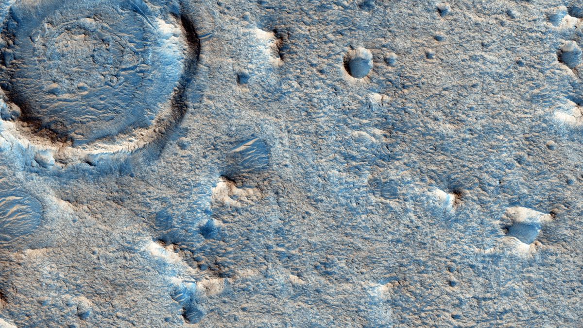
The European Space Agency's Rosalind Franklin ExoMars rover will use a newly detailed geological map of its landing zone on Mars to aid its search for ancient life. The rover's mission, delayed to October 2028 due to geopolitical events, will involve drilling into clay sediments to retrieve samples for analysis by on-board instruments. The map, created by 80 volunteers during COVID lockdown, identifies 15 specific types of geologic units in the Oxia Planum region, providing crucial guidance for the rover's journey and potential discovery of biosignatures.
- Europe's upcoming Mars rover now has a detailed map to aid its search for ancient Red Planet life (video) Space.com
- Best geologic map created for a European rover on Mars Phys.org
- The ESA's Mars Rover Gets a New Map Universe Today
- European Scientists Unveil Detailed Mars Map Ahead of Rosalind Franklin Rover Mission Space Daily
- Scientists Create High-Resolution Geological Map of Oxia Planum Sci.News
Reading Insights
Total Reads
0
Unique Readers
7
Time Saved
5 min
vs 6 min read
Condensed
92%
1,043 → 86 words
Want the full story? Read the original article
Read on Space.com